Tag Archives: Environmental Science

Bog Brook Cove and Quoddy Head

The gang at the iconic light house at Quoddy Head State Park. The most eastern point in the United States.


Just doing a little rock climbing. From the left: Andrew M., Nhu V., Ayla R., Matt P., and Alana D.

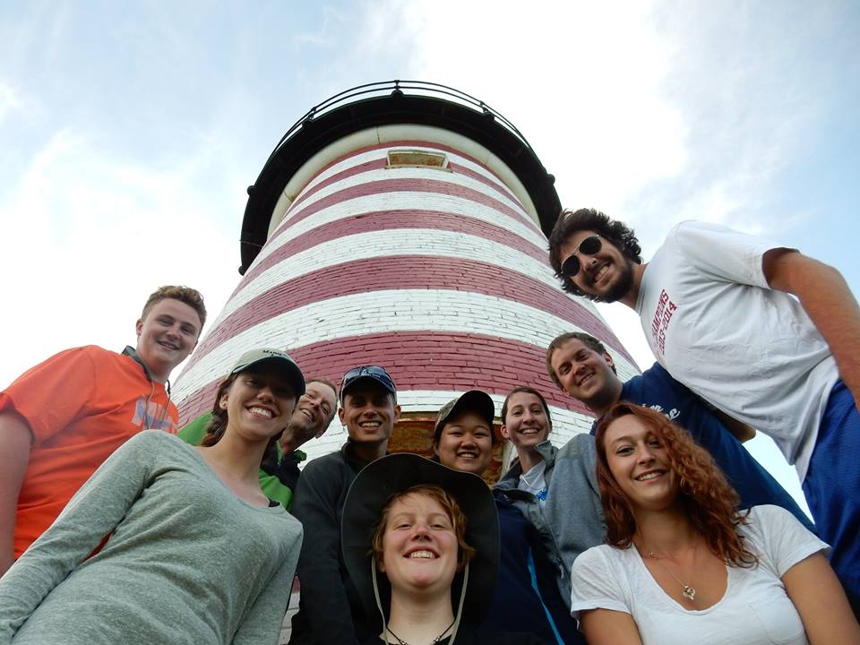
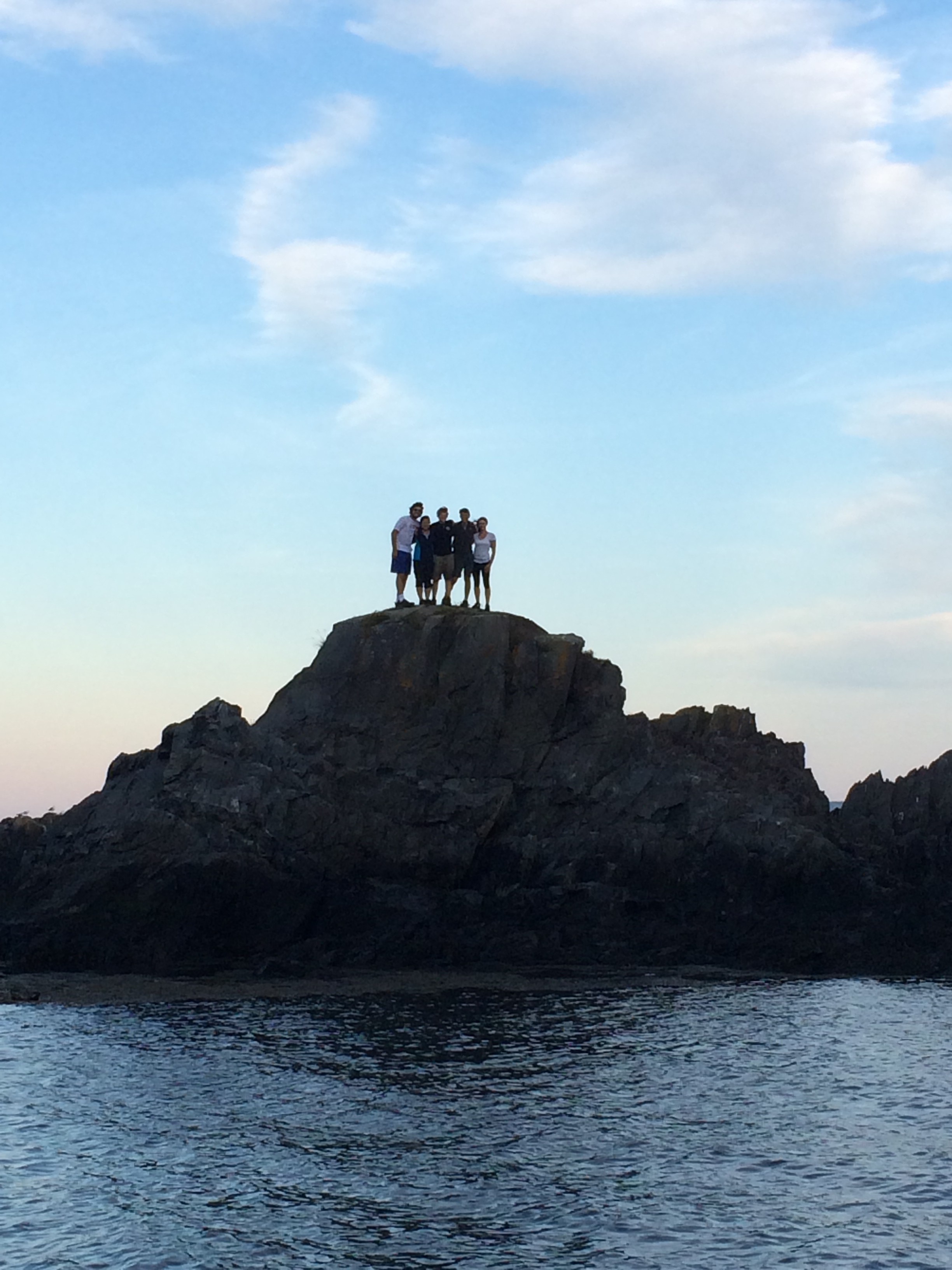
On Wednesday afternoon, after being literally distracted by “Wild Blueberry Land“, we arrived at the trail head for our 2-3 mile stroll along the Norse Pond Trail. We arrived at one of my favorite classrooms of the day (of the trip for that matter) – Bog Brook Cove. The trail led out to a beautiful cobble stone beach with lapping waves. Prior to class, the group broke off in various directions to explore. Some of us went swimming while others searched for rocks with intricate designs and patterns. It could not have been a nicer day for the beach: the sun was shining, the breeze was blowing, and our minds were wandering. When Dr. Erikson reeled us back in, we sat down for a lesson. We learned about nonconformities in rocks, remnants of glaciers, and how sea level affects the topography of an area. Things such as drop stones, marine clay, the size and location of cobbles, and different layers of sediment. We later finished the day with an exhilarating trip to Quoddy Head State Park – the eastern-most point in the United States. After a few group photos, the majority of the group took off over the fence and scaled the cliffs. Fun fact: In 5 days we’ve eaten 12 loaves of bread, 7 lbs cheese, 10 lbs of deli meats, and 55 ounces of pretzels.

-Alana Dougherty

The Bubbles

Yesterday afternoon we went to the strangely yet appropriately named ‘South Bubble.’ The South Bubble is a several hundred foot tall mountain in Acadia National Park just outside of Bar Harbor. It is called a bubble due to its bubble-like shape as it emerges from the ground, and is just south of the slightly taller North Bubble. We were dropped off in the parking lot at the base of the land mass and began the short hike up. As we neared the top, we stopped to practice creating topographical maps at a clearing to create our rendition of the surrounding landscape. We continued to and past the summit towards the southern side to overlook Jordan Pond as well as the distant ocean. From that vantage point it was clear to see where the glaciers came through several thousand years ago and shaped the landscape today. After hiking down (in a sudden rain storm) we made a quick stop at the coast before heading into Bar Harbor for dinner.

-Andrew


photo

The Clown Car

On Saturday morning we arrived at the Maine State Pier to finally begin the trip that we have been planning for the past several months (well probably last minute, like this week).  As more students arrived, as did the amount of bags. With our two Thule boxes, one cargo rack, and a very minute amount of extra van space, we began to speculate if we would EVER fit in at all! After Mother Bobby cooked up some breakfast sandwiches on our camping stove on the pavement, so began the stuffing bonanza.

SJC_ESS

We watched as our parents and professors struggled to fit more than three bags into each Thule. It was clear that we were all bringing just about a year’s worth of supplies. Parents began to place “bets” of how far we would make it before losing a wheel. Even some saying, “well, if you guys flip the van, at least we know you’re not moving too far,” poking fun at the tightly packed van.

SJC_ESS_053

Regardless of comfort, all faculty and students have made it to The Schoodic Education & Research Center safe and sound. Now we are all much closer figuratively and literally. Now let’s start off this amazing adventure!

– Erin Wright-Little

Prepare to Launch.

SJC 3pms logoStart time and place.  We will meet between 8:00 and 8:30 on Saturday morning, Aug. 16.  Our gathering spot is the Maine State Pier in Portland.  This is the pier at the Casco Bay Ferry terminal on Commercial St. in Portland, and it’s where the schooner Bagheera is tied up.  We’ll be on Bagheera for two weeks at the beginning of October, so this is your chance to see her before we actually get on board.

We’ll have light breakfast food available (including coffee and juices), so if you find that getting here is a bit hectic, you will have a chance to fuel up here.  Parents/guardians/etc. are certainly welcome to come (and there will be sufficient food for them).

Parking is challenging near the Maine State Pier, so I recommend that you pull in, drop off your stuff where you see me and our group, then go park the car (if you have parents/guardians/etc. wishing to see the group before departure).

If you have a spare bag with extra clothes, etc., that you want to NOT take for the first month or so of the ESS, then this is the place where you’ll drop it off.

This is also the spot where you’ll return to at the end of the ESS (actually, it will end over on Peaks Island, but this is a logical pick-up spot) on Saturday, October 18.