The Pemaquid peninsula is not only a beautiful place to study coastal marine ecology, it is also a place rich with the history of colonial New England and the fishing and seafaring communities that settled here. We took a short break from intensive writing sessions to enjoy a few hours exploring this history on a beautiful autumn afternoon.
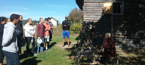
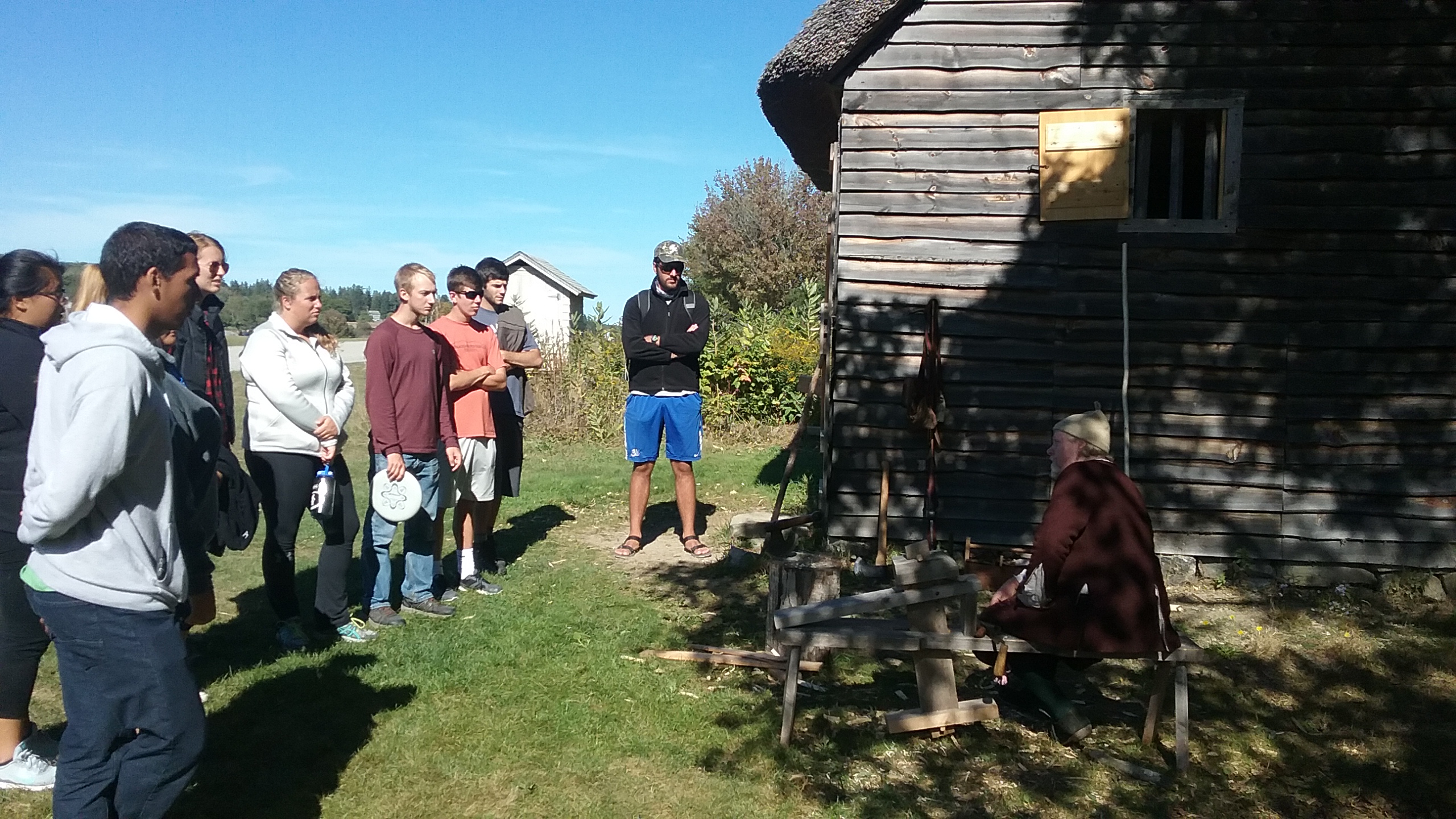
We visited Fort William Henry and the Colonial Pemaquid Restoration, at the entrance to the inner Pemaquid harbor. This site was once an important fishing outpost, and as a trading center, protected by the British colonists with a series of forts. Each fort succumbed to French or native raiders, who would also lay ruin to the adjacent village. From 1635 to the 1790s, the fort and village were settled, razed, and resettled numerous times. The end of the French and Indian wars and the American Revolution brought an end to the need for a fort, and the village declined in importance relative to other regional settlements – but this site preserves the rich history of early colonial days and the rough life of a northern New England settlement. The present-day fort was reconstructed in 1908, and the archeological site includes re-creations of early buildings, such as the waddle and daub lined wood house, where a wonderful guide in period dress walked us through the history. The students tell me the site also houses Pokemon(s).
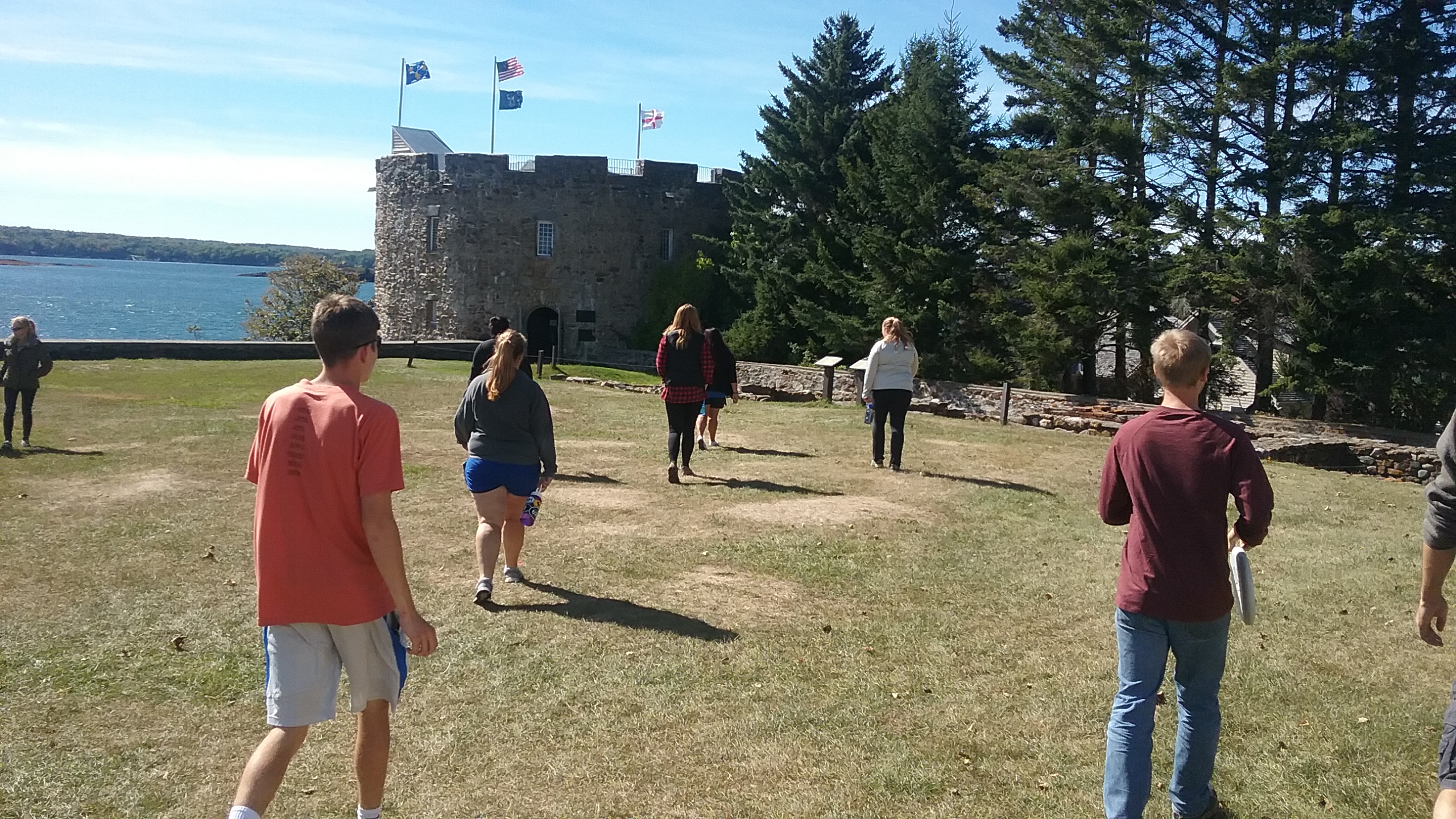
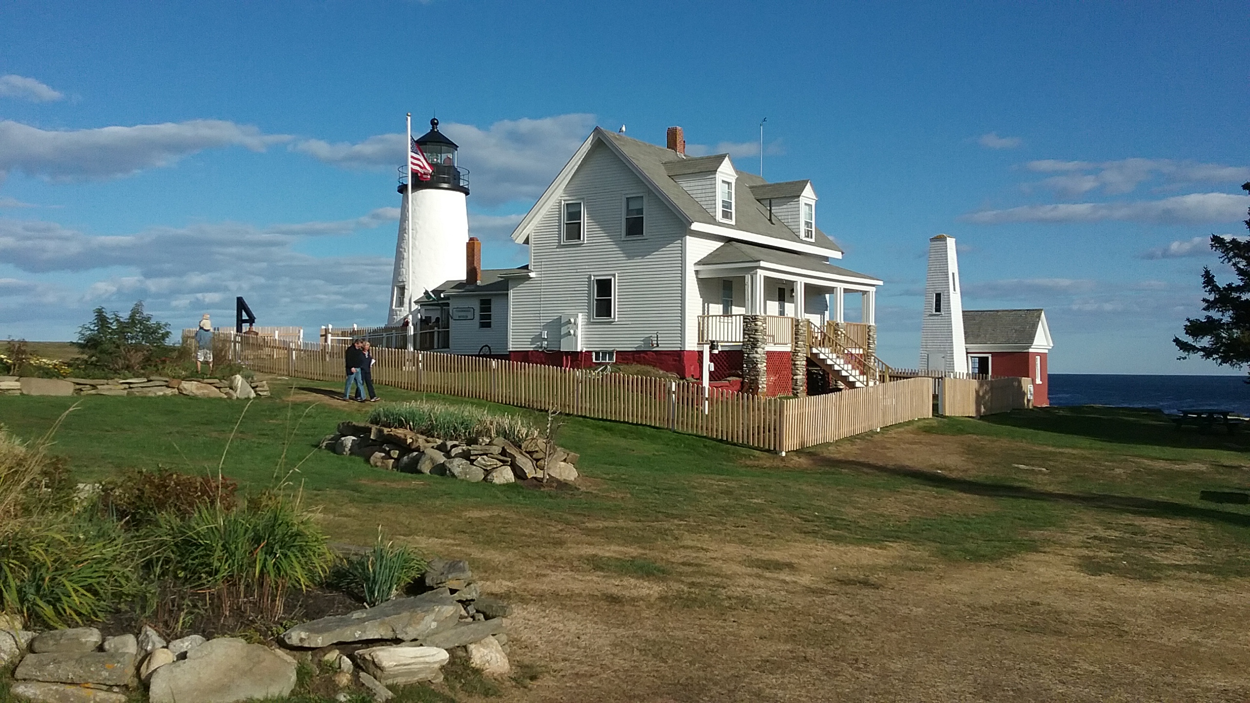
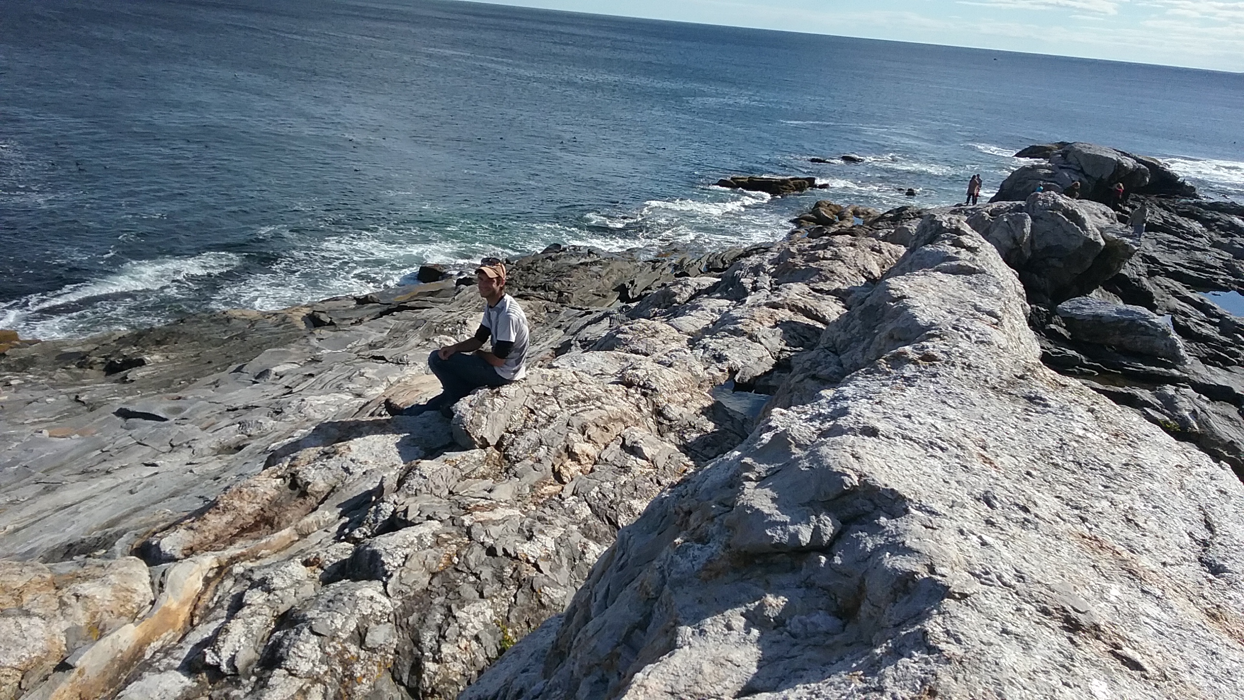
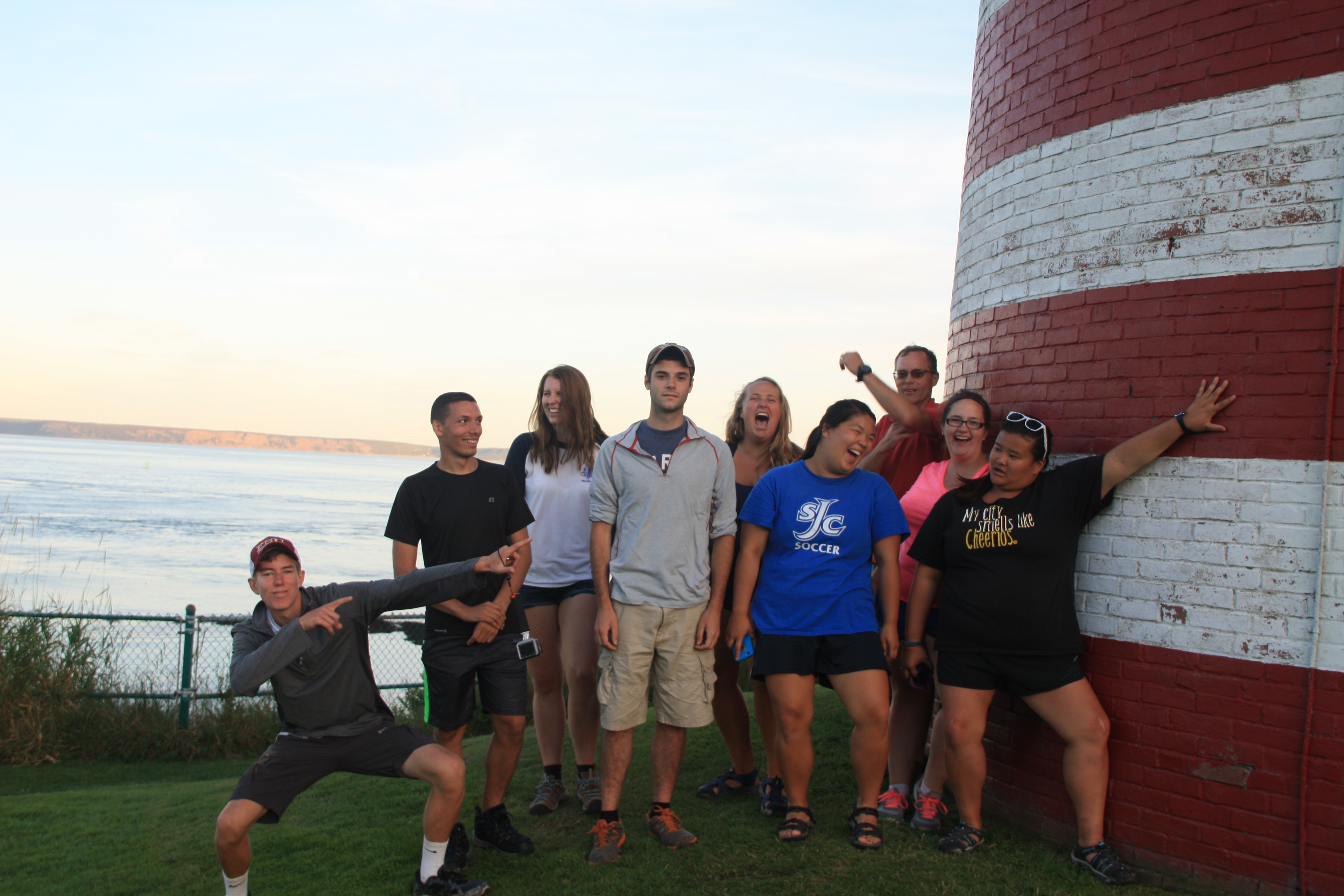
The Pemaquid lighthouse is another wonderful historic site, an iconic lighthouse and one of the most depicted from the Maine coast – its image is found on the Maine state quarter. Situated on a fantastic rocky promontory, it’s a wonderful place to explore the formations of the Maine coast (micaceous schists, right students?) and learn the history of lighthouses in New England.
We all went up into the lighthouse for a view, and scrambled on the rocks for a relaxing diversion from the academic grind. This is one “lesson” they’ll keep with them always.
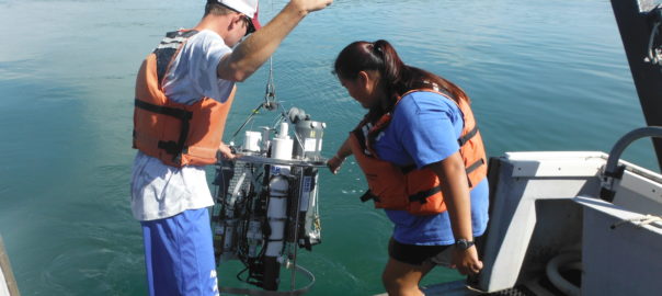
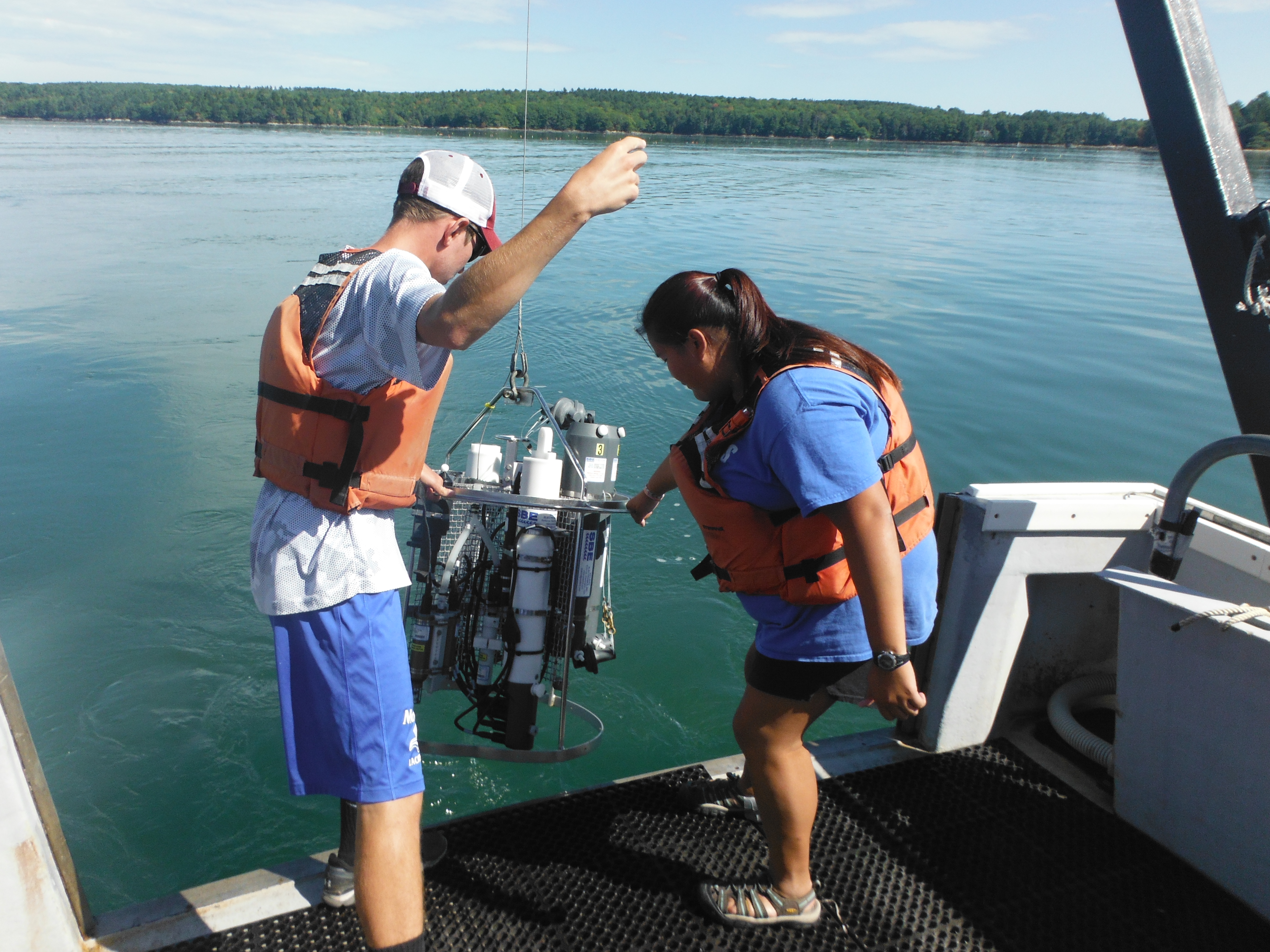
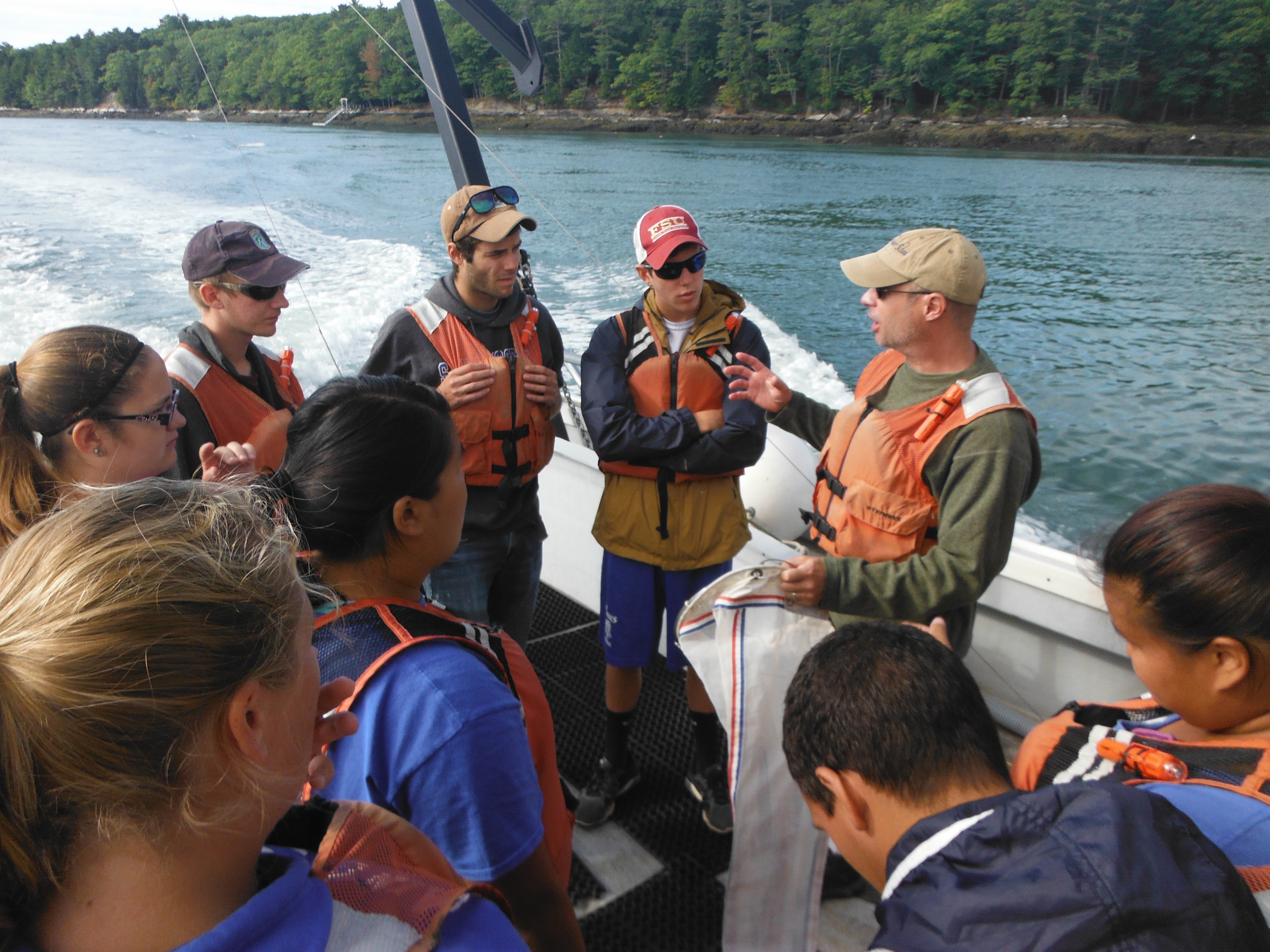
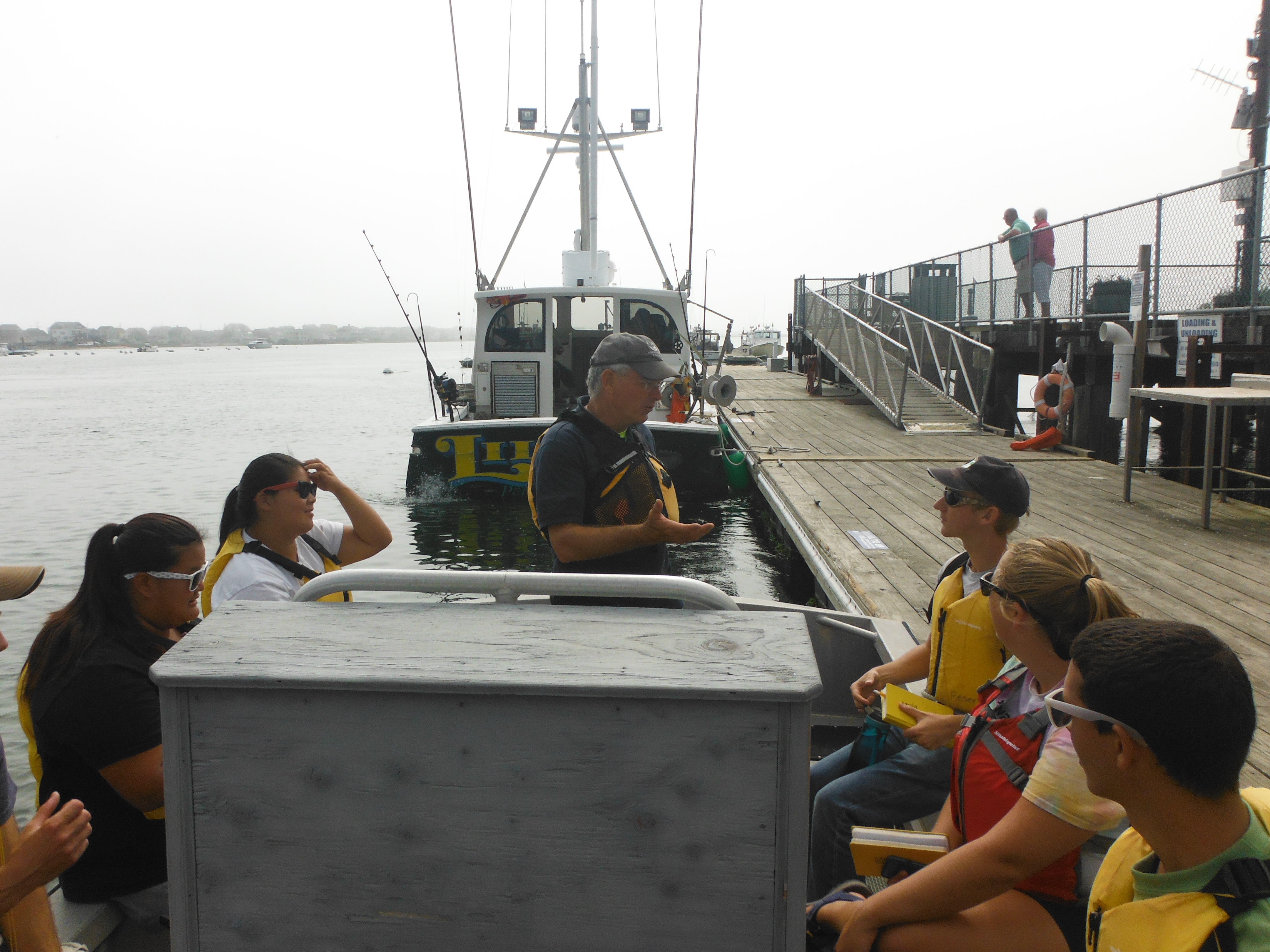
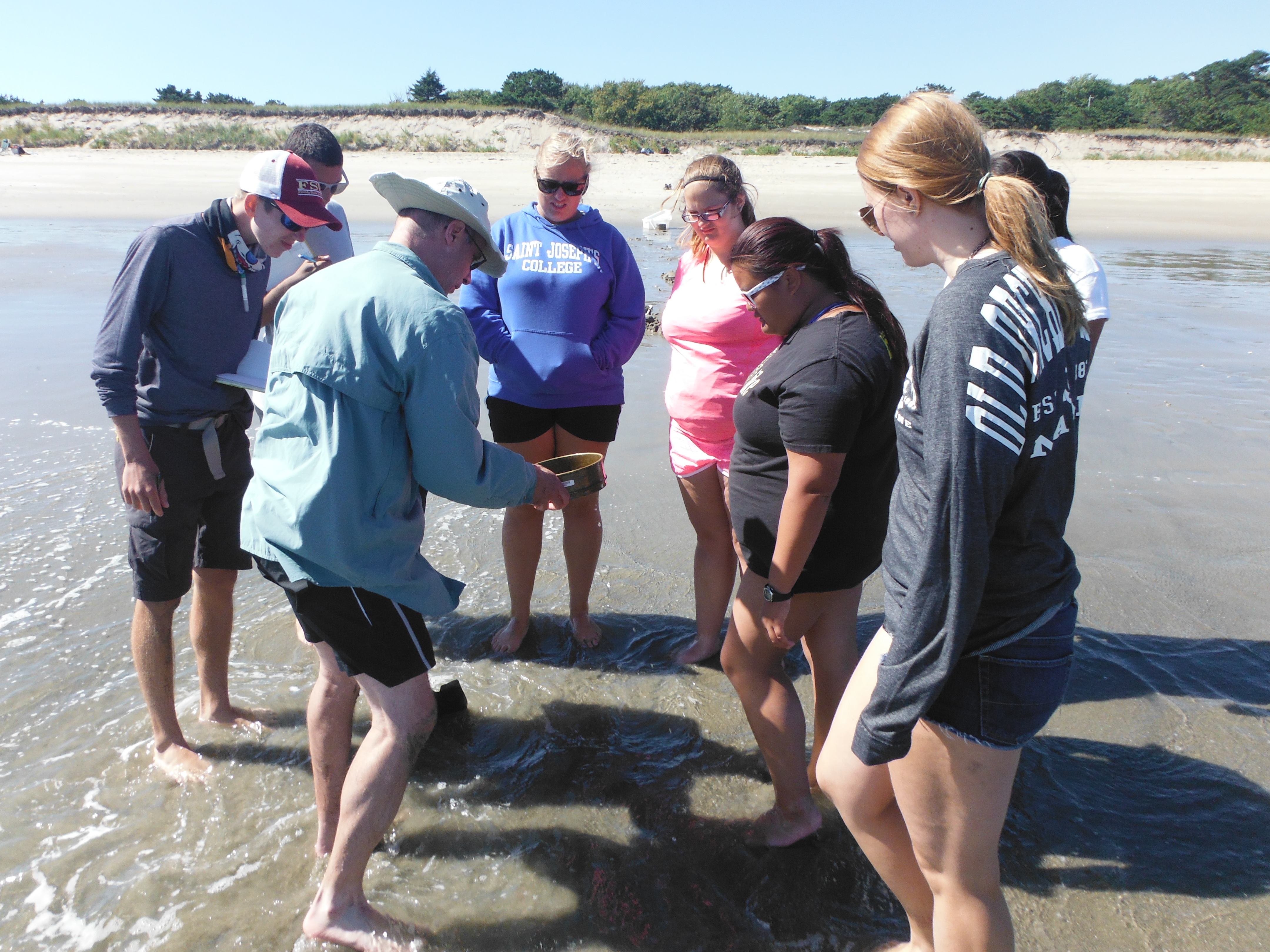
This past Thursday, our group embarked on a day long adventure out of the Darling Marine Center on the research vessel Ira C. We were introduced to Captain Robby Downs as he showed us how to operate the CTD instrument and how to interpret the data on a computer. The CTD measures temperature, salinity, chlorophyll, density and depth in a vertical water column. The study took place on the Damariscotta River which is an estuary. An estuary is generally known as the area in which salt water and fresh water meet. On the way down to the first station we saw numerous oyster farms and local wildlife including seals, heron and cormorants. We began our study closest to the river input near the Newcastle bridge, and collected multiple data samples as we moved towards the mouth of the estuary.
At each station we collected zooplankton and phytoplankton samples with plankton nets. We also used a secchi disc in order to determine the depth to which the sunlight penetrates the water. Everyone also took turns deploying the CTD instrument at the different stations. We took the plankton that we collected to the lab at the Darling Maine Center to be examined under microscopes. We found an abundance of different phytoplankton and zooplankton species, each more alien than the next!
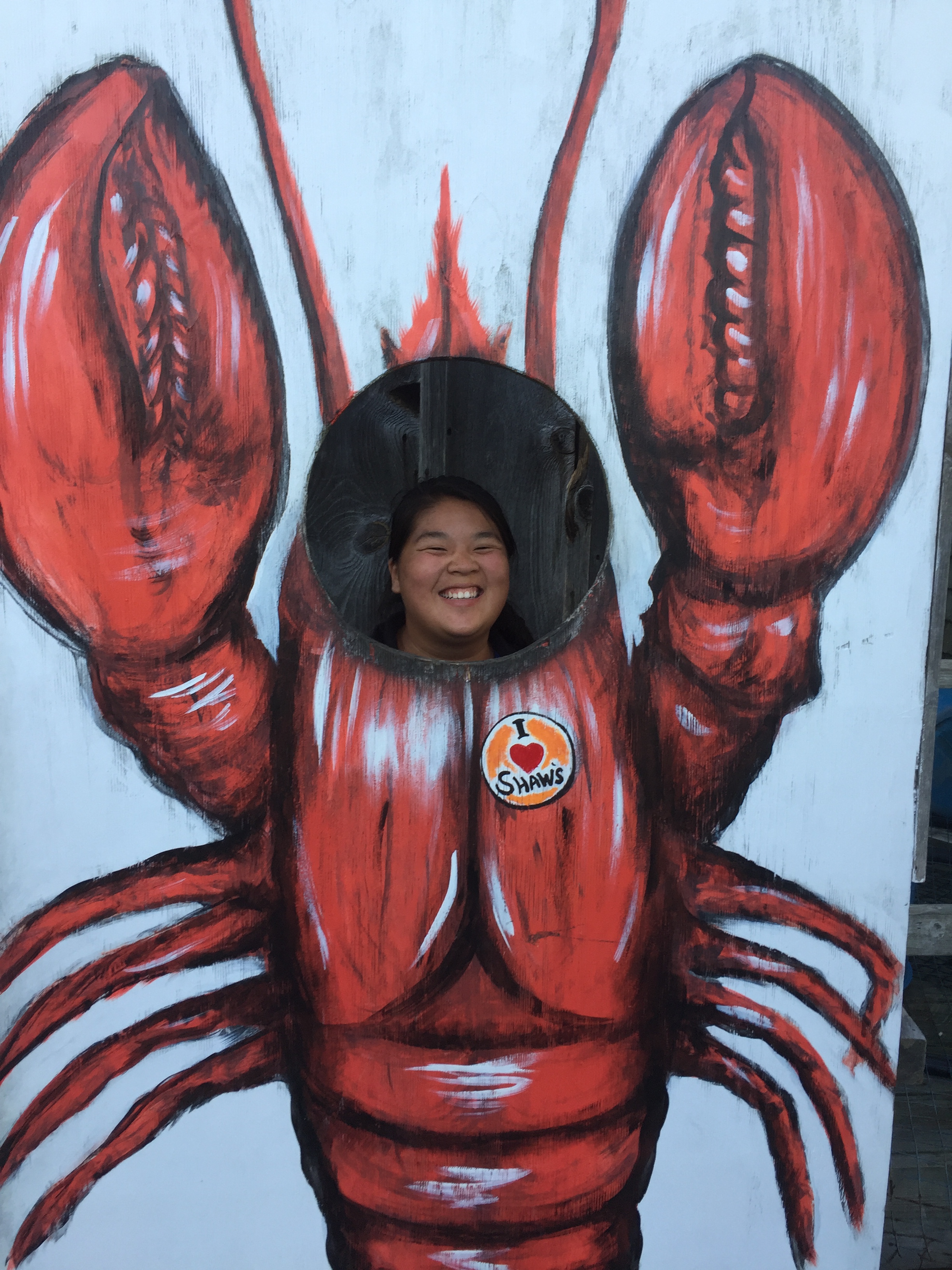
Overall the experience was very eye opening. It was awesome to spend the entire day on the boat enjoying the crisp Maine weather. As we traveled down the estuary the scenery was astounding, there were clear skies and the leaves were just beginning to change. We also saw lobster men collecting their traps and then later in the day we witnessed them unloading the days catch for sale. We finished off this day with a great dinner at a local lobstah shack.
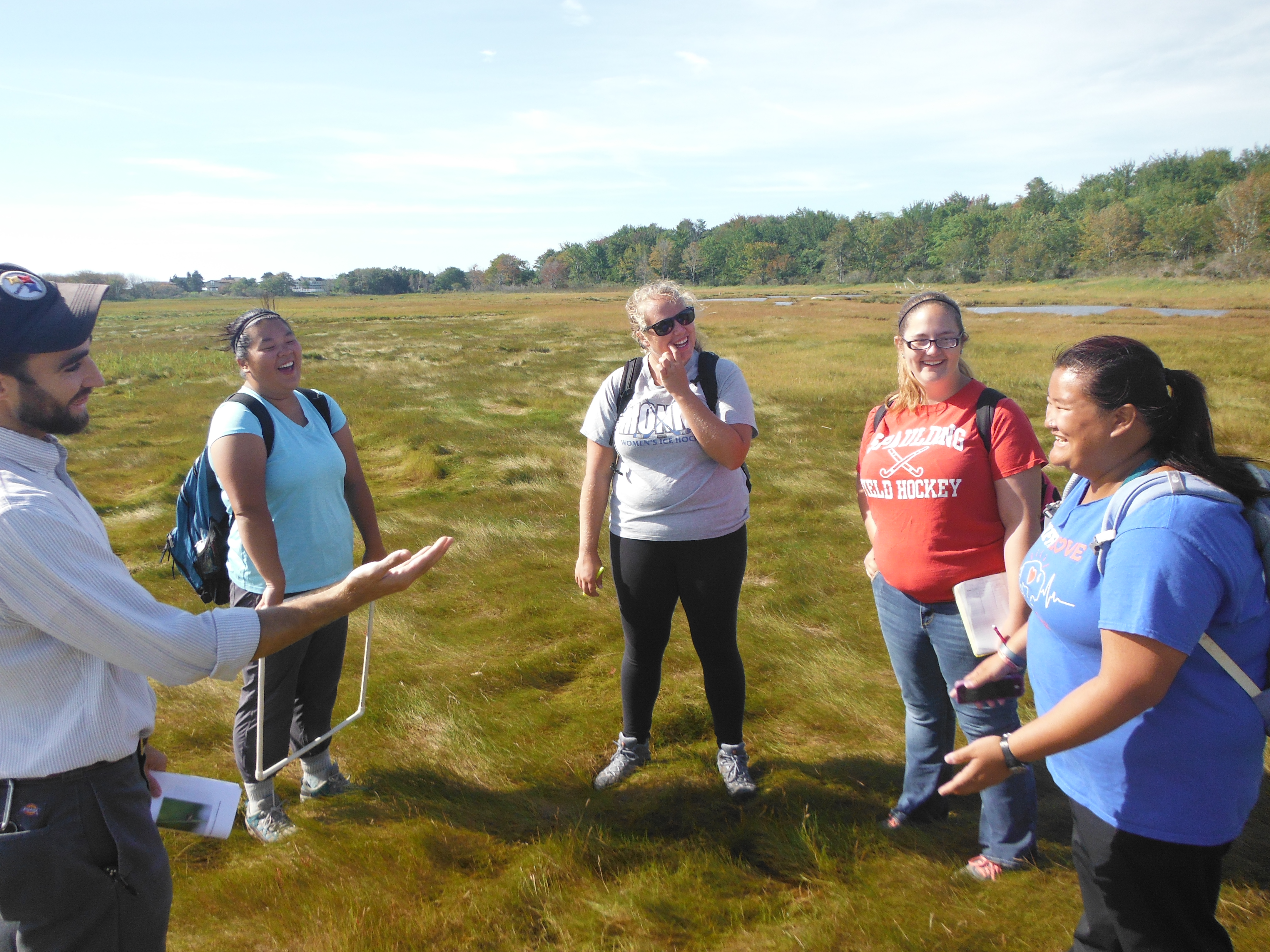
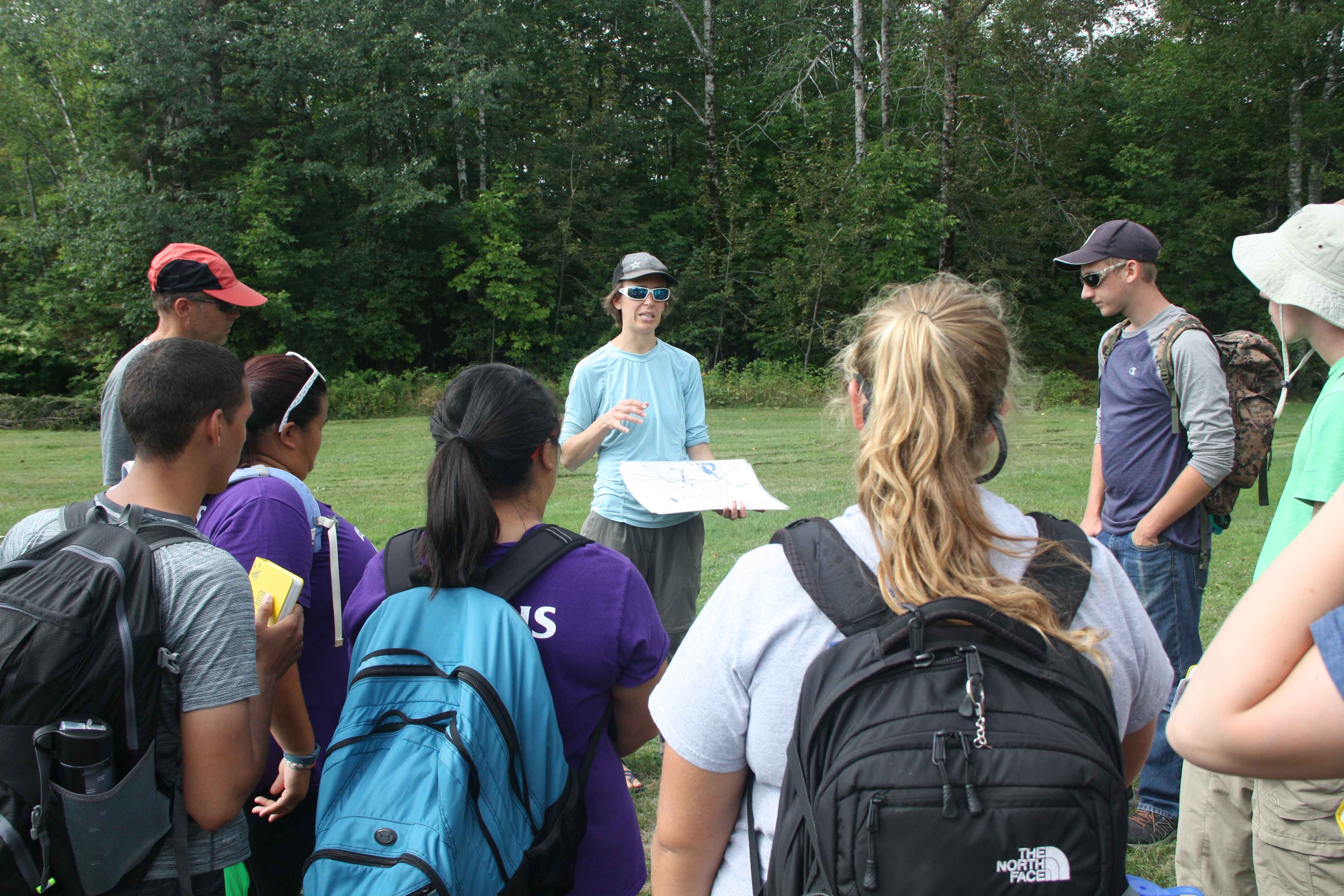
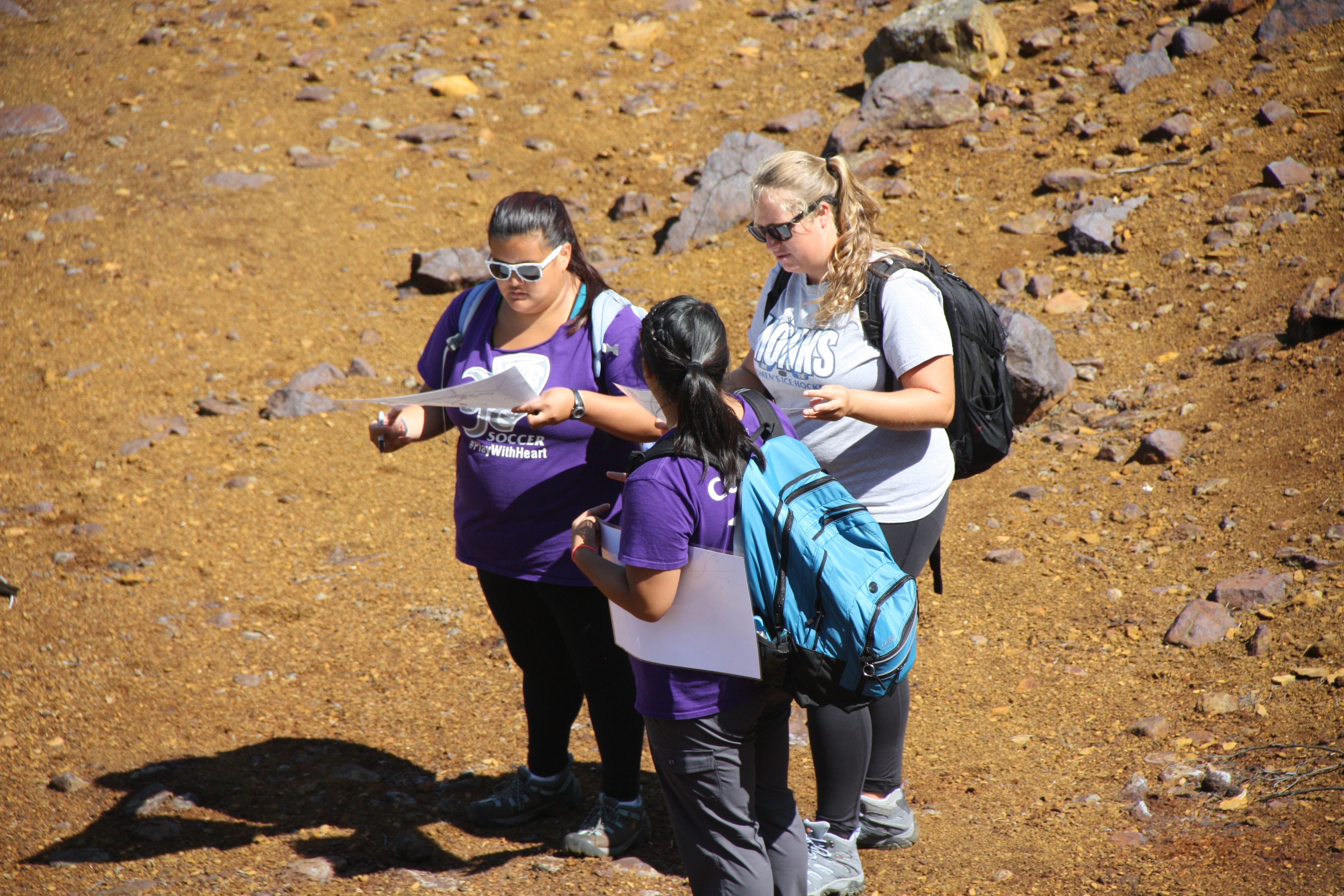
After leaving the sandy beaches of Popham, we traveled south to the Wells National Estuarine Research Reserve. Dr. Teegarden switched for the weekend as Dr. Bernaki took over to lead the students through the ecology of plant species on salt marshes (as well as a slight background on birds). The students embarked on a study using image analysis of pictures they took along various transects they set out, to learn about zonation of marsh plants from the land to the ocean’s edge. Pretty easy, right?
The students started learning to use the software in a several hour long exercise as they went through the ‘demo’ of tracing objects on their computer screens. The following days they used their knowledge of the program and constructed their own experiments with the focus on how different species of plants appear in different areas. The students learned statistical approaches to design their experiments, to add rigor to their studies. The pictures were taken using a quadrat to define the study area of interest, and the saved images were then processed in the following days.
The following two days after the data collection were rainy and provided some much needed down time for everyone to get their work done.
After the long weekend, Dr. Teegarden returned as Dr. Bernaki collected the reports the students had worked so hard to complete. That afternoon we had a pleasant boat ride through Wells harbor, and the Webhannet River of the salt marsh. On the ride we learned much about the history of the area, and examined what could happen to the coastal town as sea level continues to rise. From there we packed up the van and continued on our journey to the Darling Marine Center, where we will be finishing off the marine ecology portion of the ESS.
We made a smooth transition from geological perspectives on coastlines to an ecological perspective by studying how the dynamic sedimentary environment of a beach controls and affects the organisms trying to make a living there. Most visitors to a beach are there to relax, enjoy the lovely scenery, perhaps take a swim, and their thoughts of what might be living there (not just visiting) are dominated by the obvious, such as seagulls looking to steal a cookie, or perhaps wariness of what large toothed fish might be lurking in the waves. A look at the sands below our feet might not stimulate thoughts of life, yet that is where we are looking in this block of Marine Ecology.
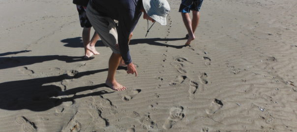
The intrepid students had completed a beach profile, documenting the slope of the beach face, and we carefully observed and recorded features of the wave environment, such as breaker height, wave period, and distance of breakers from shore. All of these affect how much the sands are moved by wave action, which can make it easier or more difficult for organisms living there. We learned what allochtonous matter is, an obvious example being the seaweeds ripped up during a recent storm and washed up on the beach, and how that provides a food source for various consumers. With our observer senses on high alert, we started rooting around for organisms, to see the life that might escape the casual observer’s notice.
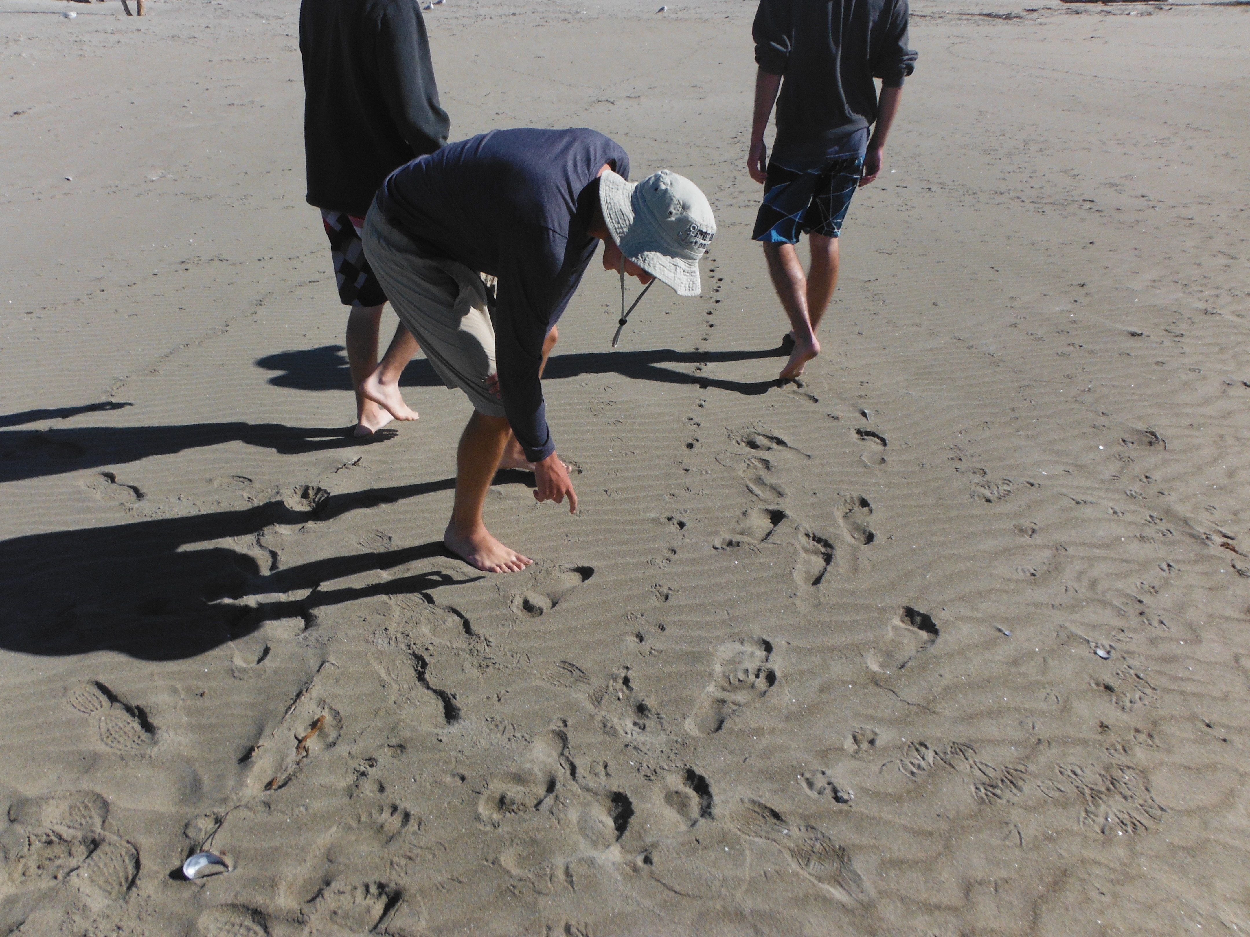
On the east side of Popham Beach, with its steeper slope and more dynamic wave swash zone, we found fewer forms of life, dominated by small crustaceans called amphipods, sometimes called “beach fleas”, though they do not look like fleas, and do not bite! Larger ones were found in the wrack stranded in the high intertidal. Vigorous digging along a line towards the water revealed no other visible forms of life, but once we reached the swash zone, where water rushes back and forth from the breaking waves, we found abundant smaller amphipods, happily tumbling in the sands, accessing the organic matter stirred up by wave actions. A fine mesh sieve was needed to sample these critters; without it, they would have escaped our notice. The shorebirds, little sandpipers, were certainly well aware of the amphipods and feasted while we sampled.
The west side of the beach, with a much shallower slope, sand bars, and much calmer swash zone, harbored a greater diversity of life forms, particularly various worm forms down in the sediments. We even found fish, sand lance, hiding in the sands awaiting the tides’ return. The amphipods of the east beach were much less abundant here, showing us how different energy regimes support very different life forms.
All in all, the students enjoyed some lovely days at the beach, learned a great deal about life they hadn’t noticed before, and forged the connection between the physical/geological environment and how that constrains and shapes the community of organisms there. There were a few sighs of melancholy bidding farewell to the beach, but many interesting ecosystems await our attentions!
After finishing up Glacial Geology and Climate Change in New Hampshire, we headed to Popham Beach in Phippsburg, Maine. Our first day in Popham was a beautiful 80 degree day with clear sunny skies! We headed to the beach front for fieldwork and some relaxation, and Dean Ireland joined us for the ESS experience.
Our fieldwork consisted of creating a beach cross-section profile. We measured the changing slope from the low tide line to the back dunes, and measured the grain size distribution of the sand. This information is essential in understanding the dynamics of this ecosystem, and will be used in part when understanding what organisms occur where.
After our fieldwork was complete, we were able to have some free time. In our free time many of us went swimming in the ocean and rode the huge waves. Some of us stayed in the water for over 40 minutes riding the waves or body surfing, while other got out to play some Frisbee on the beach. We also wandered over to Fox Island, which is only an island at high tide. We all climbed up on the rocks to get a 360-degree view of Popham Beach and to see a distant lighthouse. We quickly had to leave though, as the tide was coming in and the sand bar connecting to Fox island was quickly disappearing.
Later that evening, Dr. Erikson said his goodbyes for now as he goes back to campus to teach. In a few short weeks we will be reunited yet again, but for now we will be learning marine ecology with Dr. Teegarden. We look forward to having class on a beautiful beach with a great professor!
It’s time for me to write a post, since the students are immersed in writing a paper and preparing for a final in Climate Change and Glacial Geology. Yes, it is very early September and they are faced with a paper and a final. We’ve been on the road for over 3.5 weeks, which puts us 1/3rd of the way through the ESS. Quite soon, we will finish here (Crawford Notch in the White Mountains of New Hampshire) and head to Popham Beach, where Prof. Greg Teegarden will start leading the students though Marine Ecology. But before we wrap up here, let me point out some highlights.
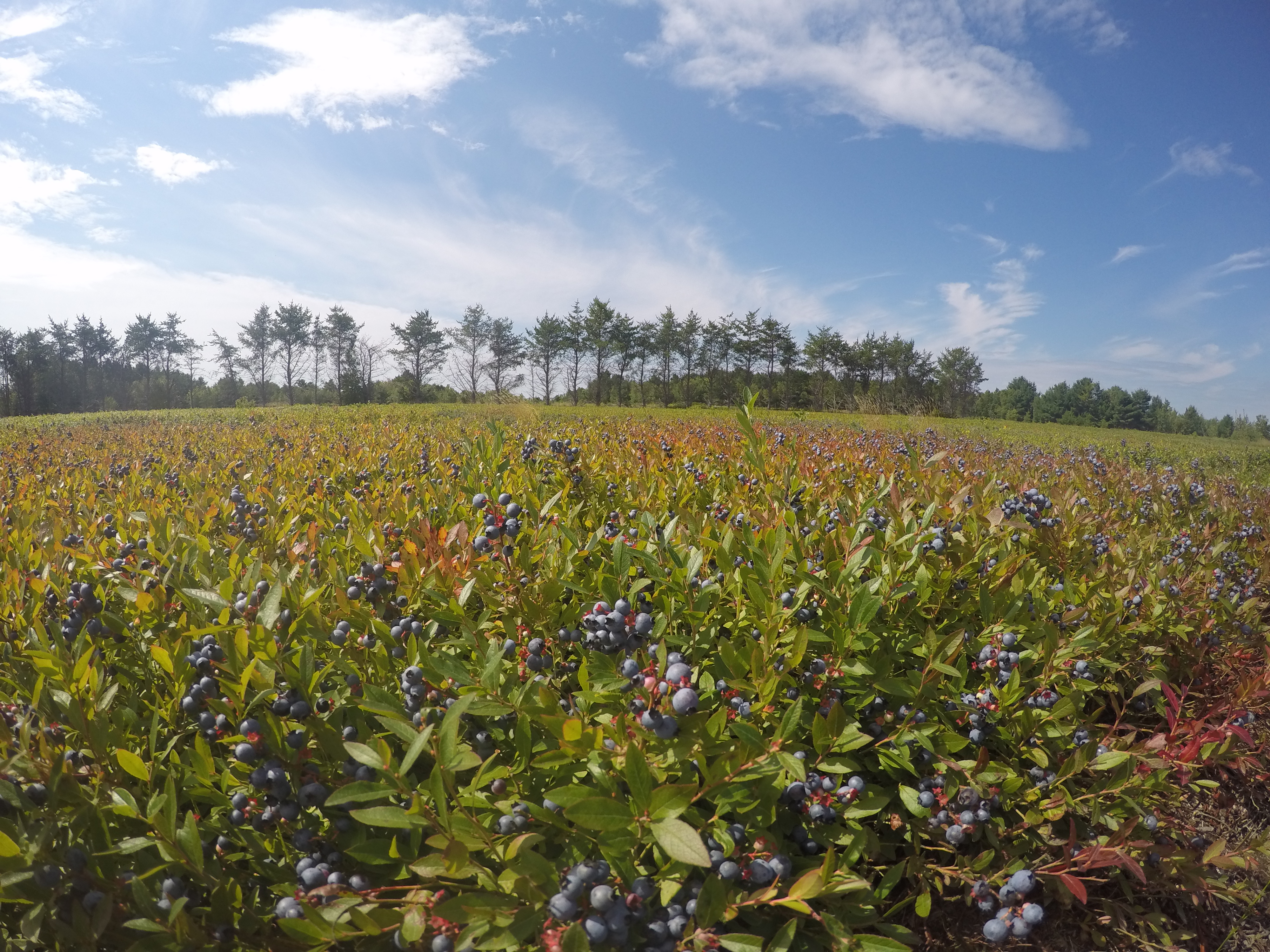
Blueberry fields near Cherryfield, Maine grow on deltas that accumulated in a frigid sea when relative sea level was briefly 60 m higher than today about 15,000 years ago as glaciers receded. Joe O’Reilly joined me and Andrew atop an enormous boulder carried to this site by icebergs.
DCIM100GOPROGOPR0246.
West Quoddy Head lighthouse is the easternmost point in the US. Everyone seemed amused thinking that there were 320 million Americans to the west of us, and zero to the east!
It’s hard to appreciate just how fast the tide can come in. At Fundy National Park in New Brunswick, we studied the 1 km long Point Wolfe inlet. We were in the flat, middle part of the section when the tide caught up with us. The water was creeping over the land nearly at walking speed. Stand still to take a measurement, and the water would rise above our ankles. Crossing the “little” intertidal stream on the incoming tide got Emma Mills ’19 in water up to her chest.
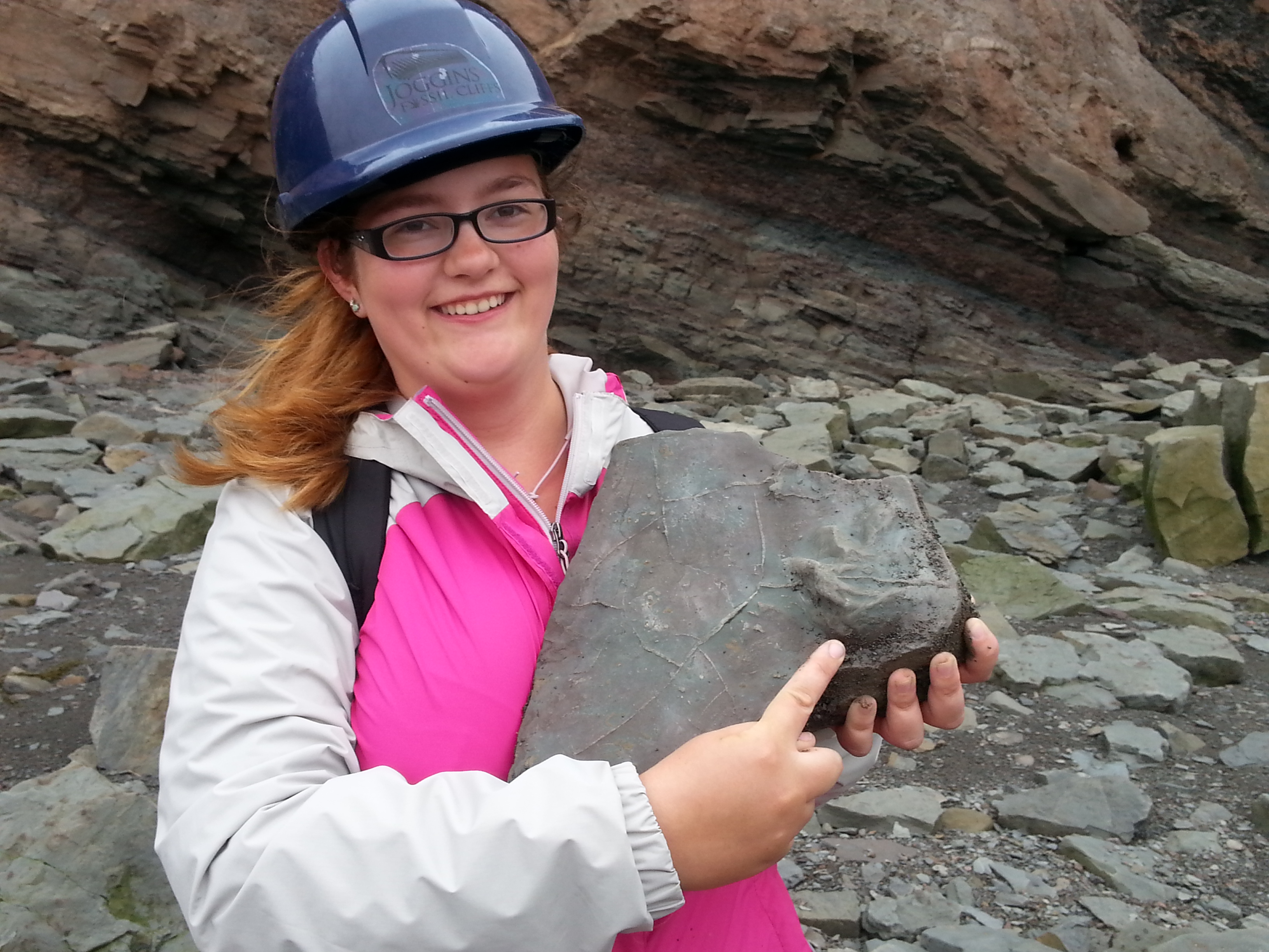
At Joggins Fossil Cliffs in Nova Scotia (a UNESCO World Heritage Site), we walked along beach cliffs (at low tide!) for about 5 km and through about 5 million years of ancient, really ancient history. These rocks have yielded the oldest reptile fossil in the world at about 310 million years (forgive me if my memory is off by a few million). We were there to look at how climatic and environmental conditions can be reconstructed; these rocks accumulated in a tropical swamp with nearby mountains generating a rich supply of river sediment. Danielle Martin ’19 found a block with fossilized mud cracks and the toe/claw imprints of a crocodile-sized amphibian; this block was so special the guides added it to the permanent collection in the site’s museum.
In Halifax, the city’s signature historical feature, the Citadel, is built atop a drumlin. The drumlin was formed by glacial ice moving and molding sand and gravel debris into an oval mound. Several of us enjoyed a nice hour of Frisbee tossing on this late Ice Age feature.
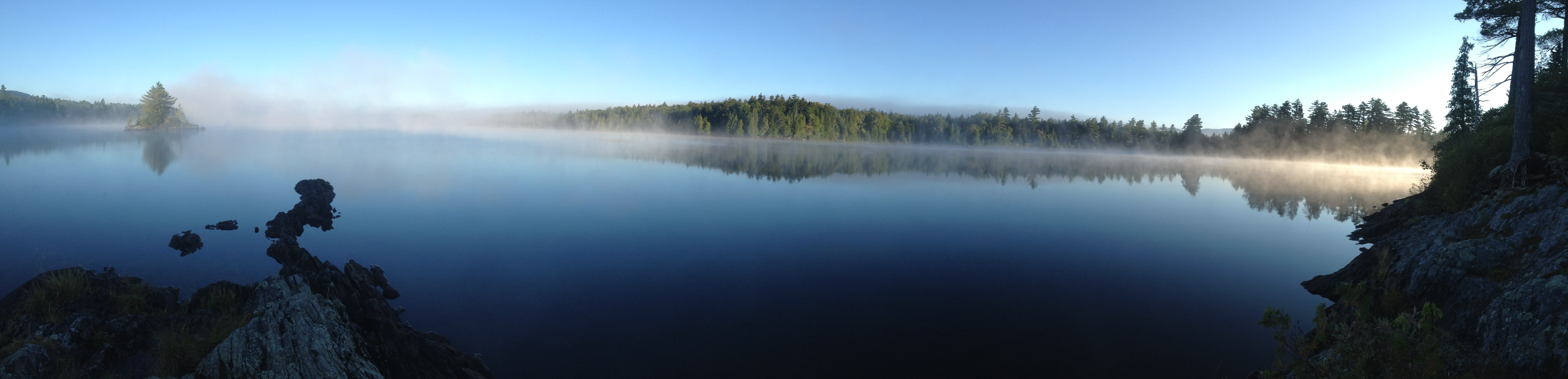
The moonless night sky in the northwoods east of Greenville was absolutely beautiful. Sorry, no nighttime photos, but I’ll include a morning photo. And nighttime photos wouldn’t do it justice anyways. The sky (as viewed from boats on the still lake) had so many stars that it felt four-dimensional – I felt the immensity of it as we looked deeper into space to more distant and fainter stars. Some students saw the Milky Way for the first time in their lives. Defintely a highlight.
Prof. Emily Lesher led us through an investigation of the chemistry and landscape associated with acid mine drainage. Strictly speaking, this material was part of the Field Methods course, but by now the students are used to switching back and forth between different course content. Personally, I really enjoyed seeing students engage with new material and another professor. Many of them will be in Prof. Lesher’s Environmental Chemistry class in the spring, when this real-world example will surely come up.
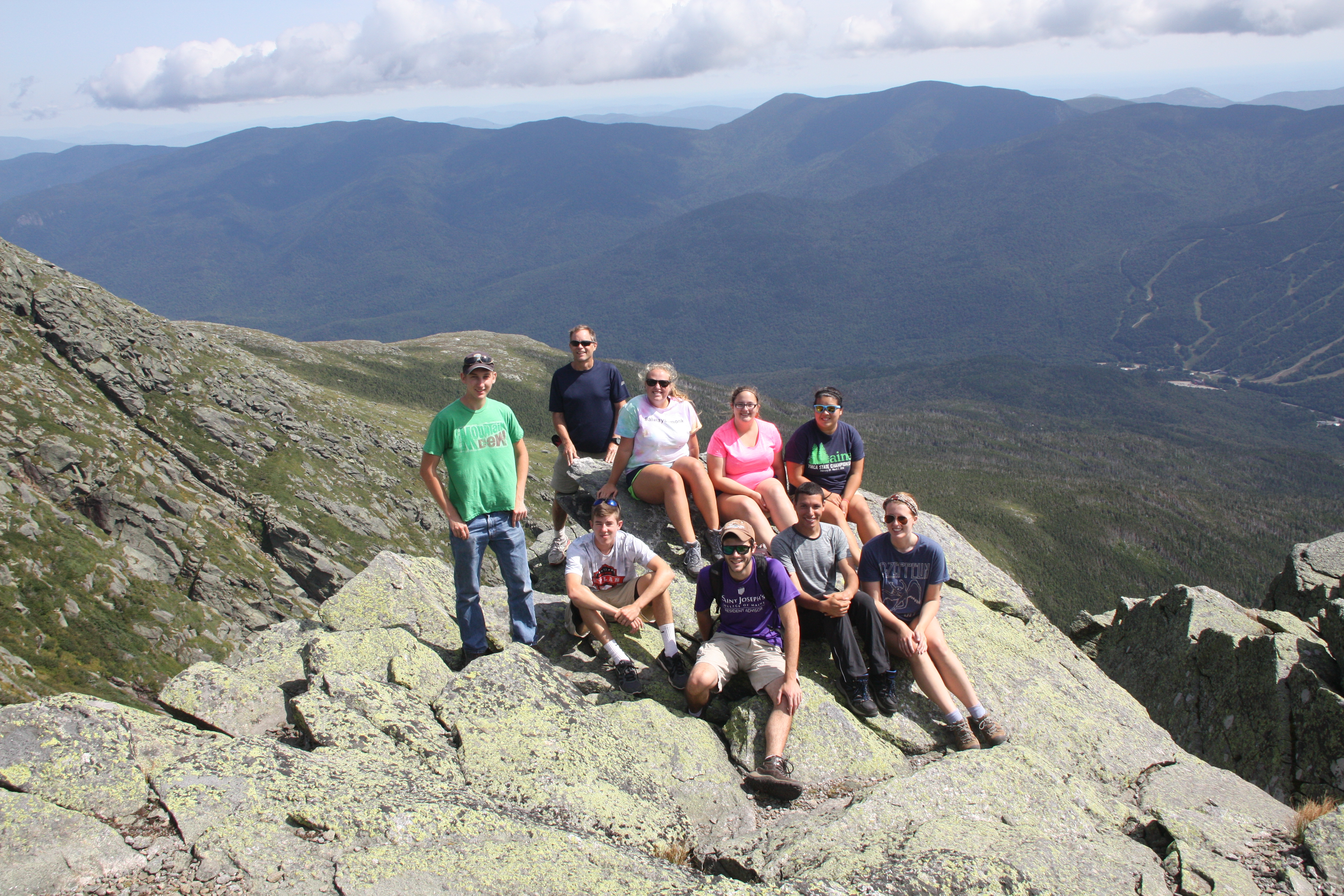
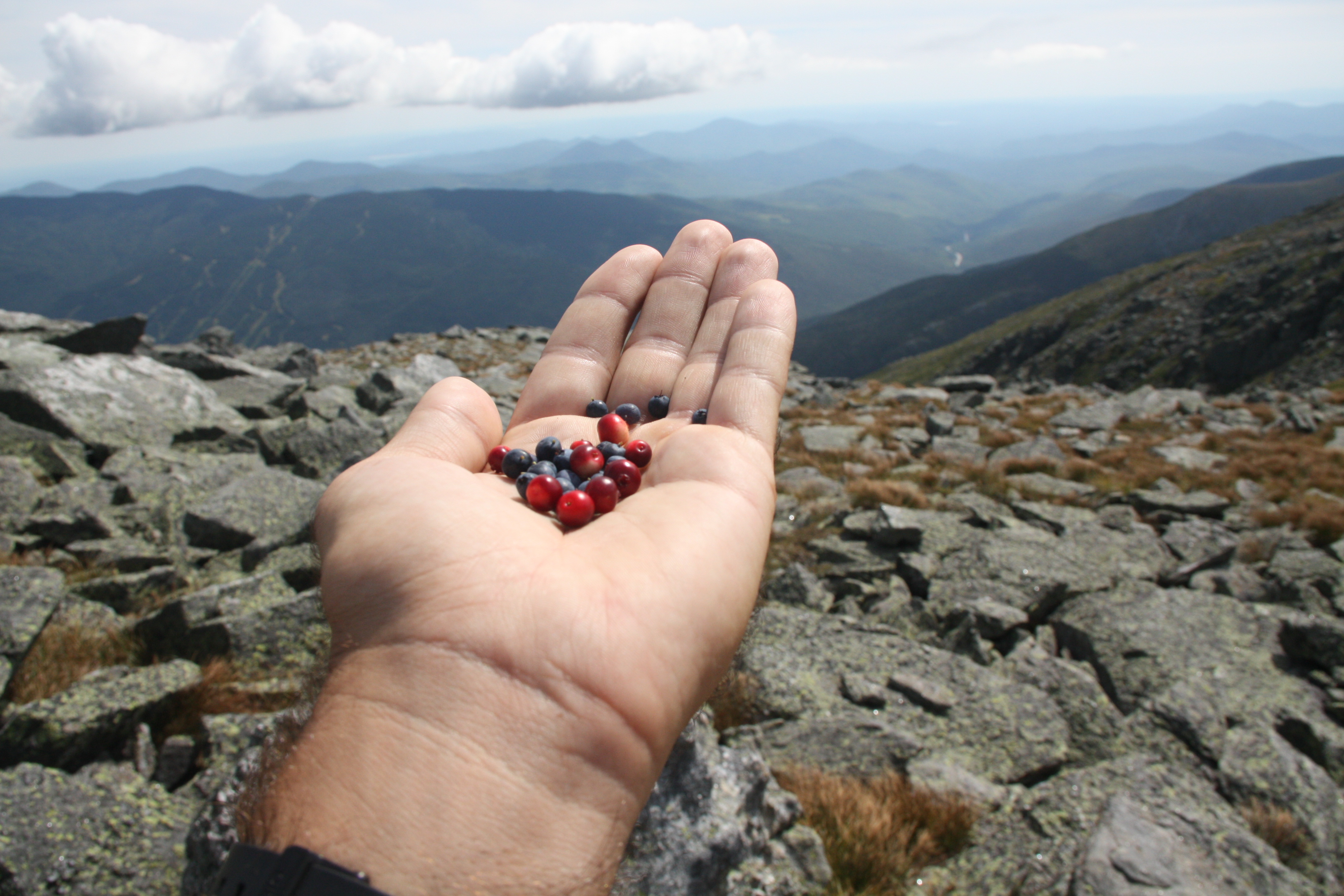
We drove up Mount Washington yesterday in order to get a view of several cirques created by alpine glaciers, most notably Tuckerman’s Ravine, Huntington’s Ravine, and the Great Gulf. A short walk to the lip of Huntington’s headwall led to more than one reassessment of what “steep” looks like. While there in the Alpine Garden, we enjoyed a late summer snack of wild blueberries and mountain cranberries. Some of us, including Jess Selva ’17 and Tyler Allen ’18, hiked over 4000 vertical feet from Mount Washington’s summit down over the headwall of Tuckerman’s Ravine and out to Pinkham Notch; legs were a bit stiff today!
We’ve endured just over 2000 miles of driving so far. It’s a really long way from Portland to Halifax. Fortunately, the longest distance to be covered in the remaining 6 weeks will be done on a schooner!
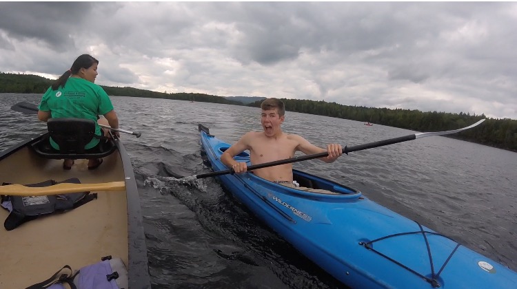
For the past 3 days, we have been at the Appalachian Mountain Club’s Gorman Chairback Lodge in Greenville, ME. After a long drive from Halifax finishing with dirt roads, we finally arrived at this cute little lodge. After moving our things into our bunkhouse, we were allowed some down time until dinner. Gorman Chairback is right on Long Pond and it’s about a mile and a half from one end to the other. In no time at all we were out on kayaks, canoes, and paddleboards. It was a beautiful, calm day and the water was just the right temperature as we explored the full length of the lake.
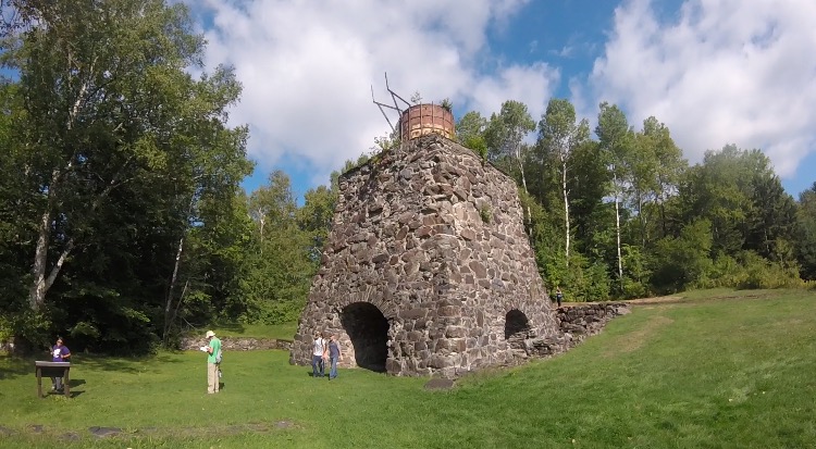
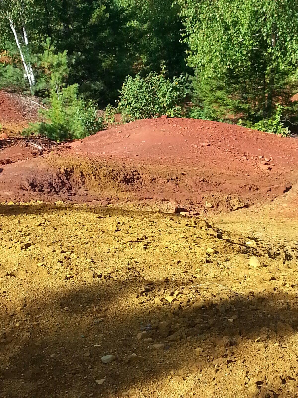
Dr. Emily Lesher and her family joined us for a few days to teach us about the nearby Katahdin Iron Works and the iron oxide deposits that fed it. First we visited the original smelting furnace and the one remaining charcoal kiln that have been there since the 1890’s. Prof. Lesher told us about how pig iron was made from limestone, charcoal, and ore. As the workers removed the surface layer of iron oxide ore from the nearby surface deposits, fresh iron sulfide was exposed. From more than a century of exposure to rain and air, the acidic runoff is getting into nearby streams and rivers at lower elevations and iron oxide is coating the soil. We took soil samples from different kill zones, tested pH levels, and tested acidity levels to see how the acidic drainage was affecting the waterways. Since this past season has been so dry though, the water levels have decreased and the amount of runoff into the waterways has also decreased, leaving the pH levels high (nearly neutral) and the acidity levels low.
That night we went back out onto the lake just as it was getting dark so we would be able to star gaze on a clear night. Most of us were in kayaks and we ended up staying out for almost two hours. We could see the Big Dipper, the North Star, Mars, the Milky Way Galaxy, satellites, and shooting stars. Never have we seen such a clear sky at night – the Milky Way was bright all the way down to the horizon. Yay for no light pollution! Soon it began to get cold and even darker so thankfully we all had our headlamps to get back to shore.