All posts by Greg Teegarden

Sense of Place in Midcoast Maine

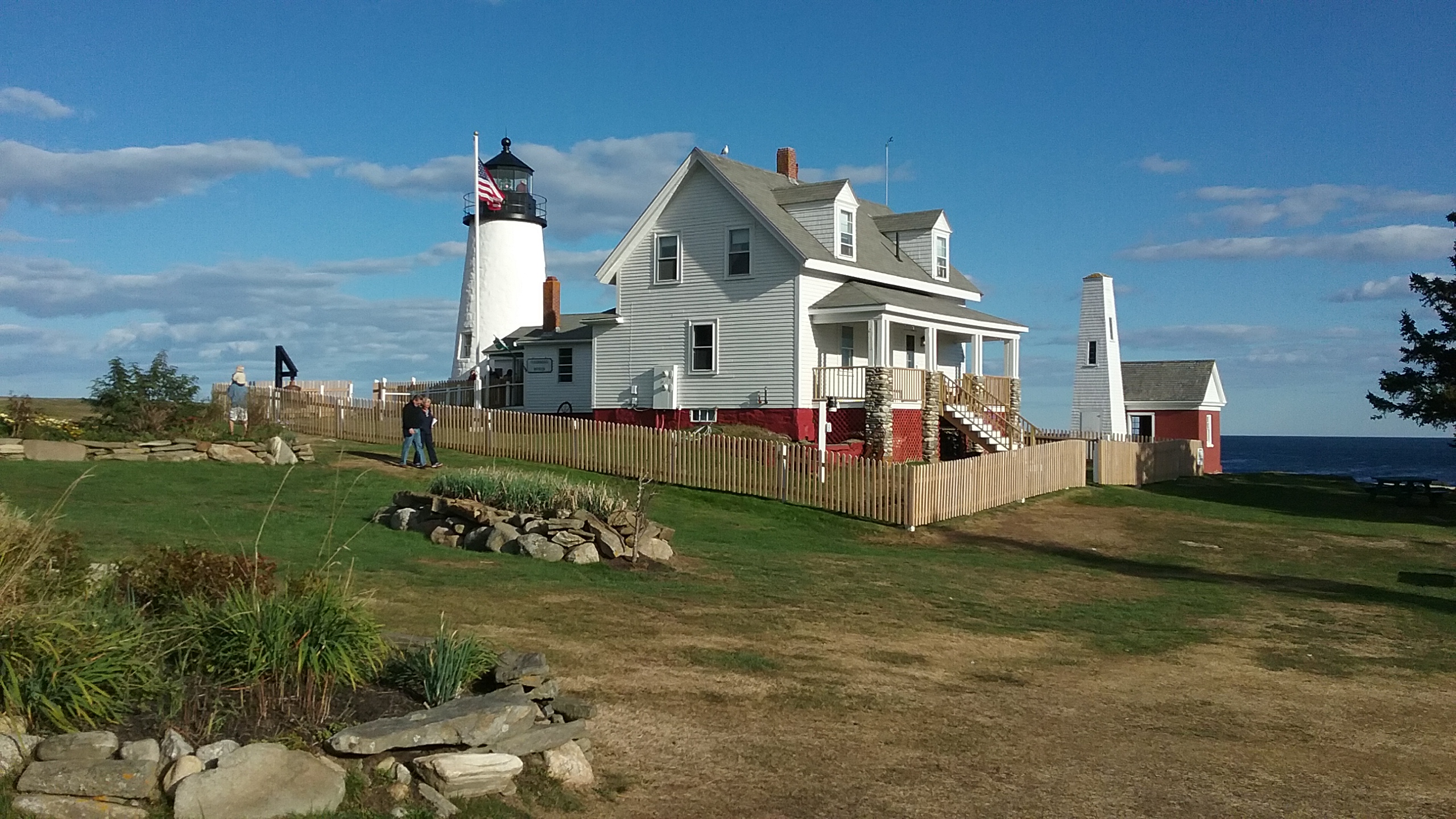
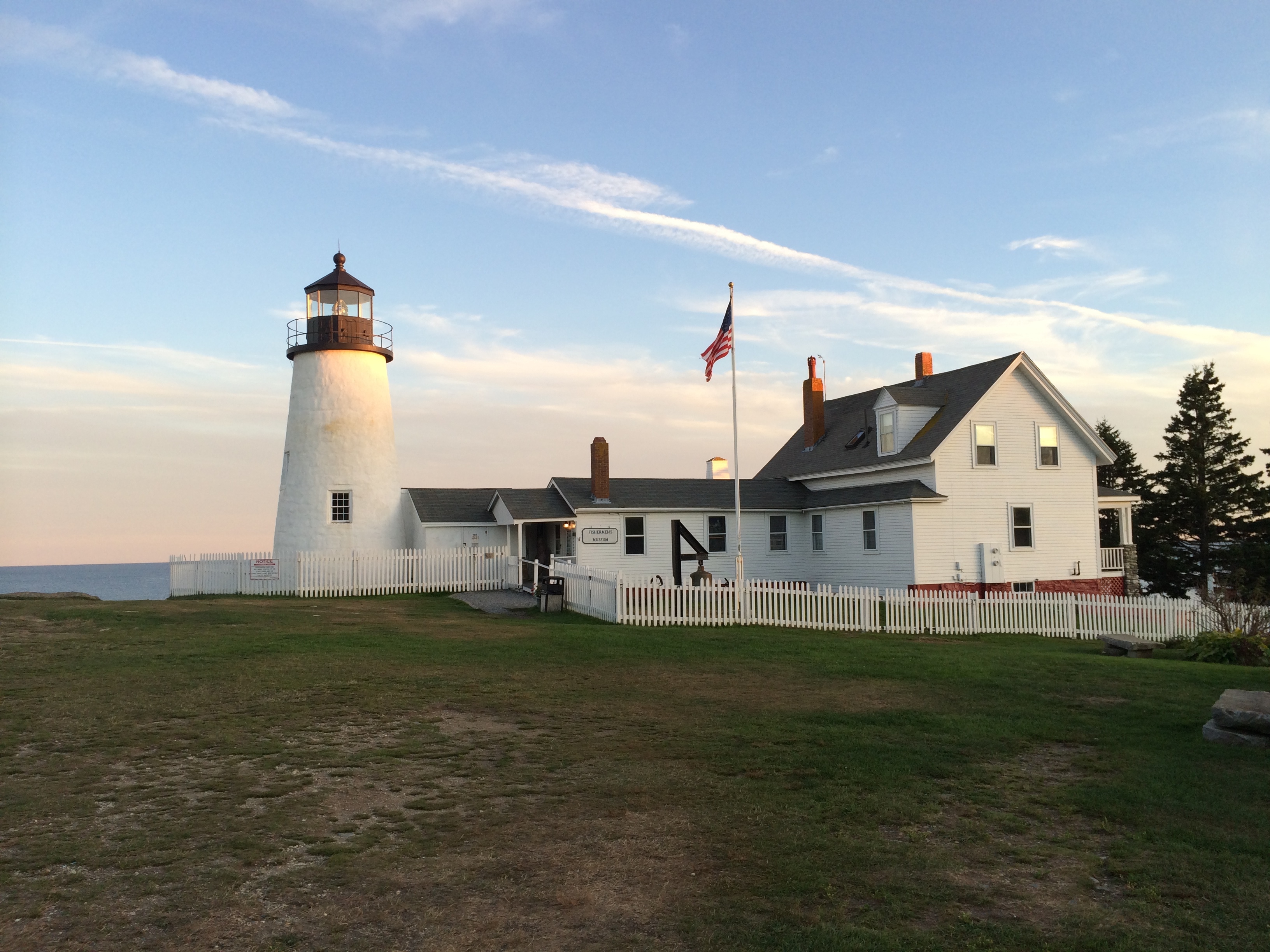
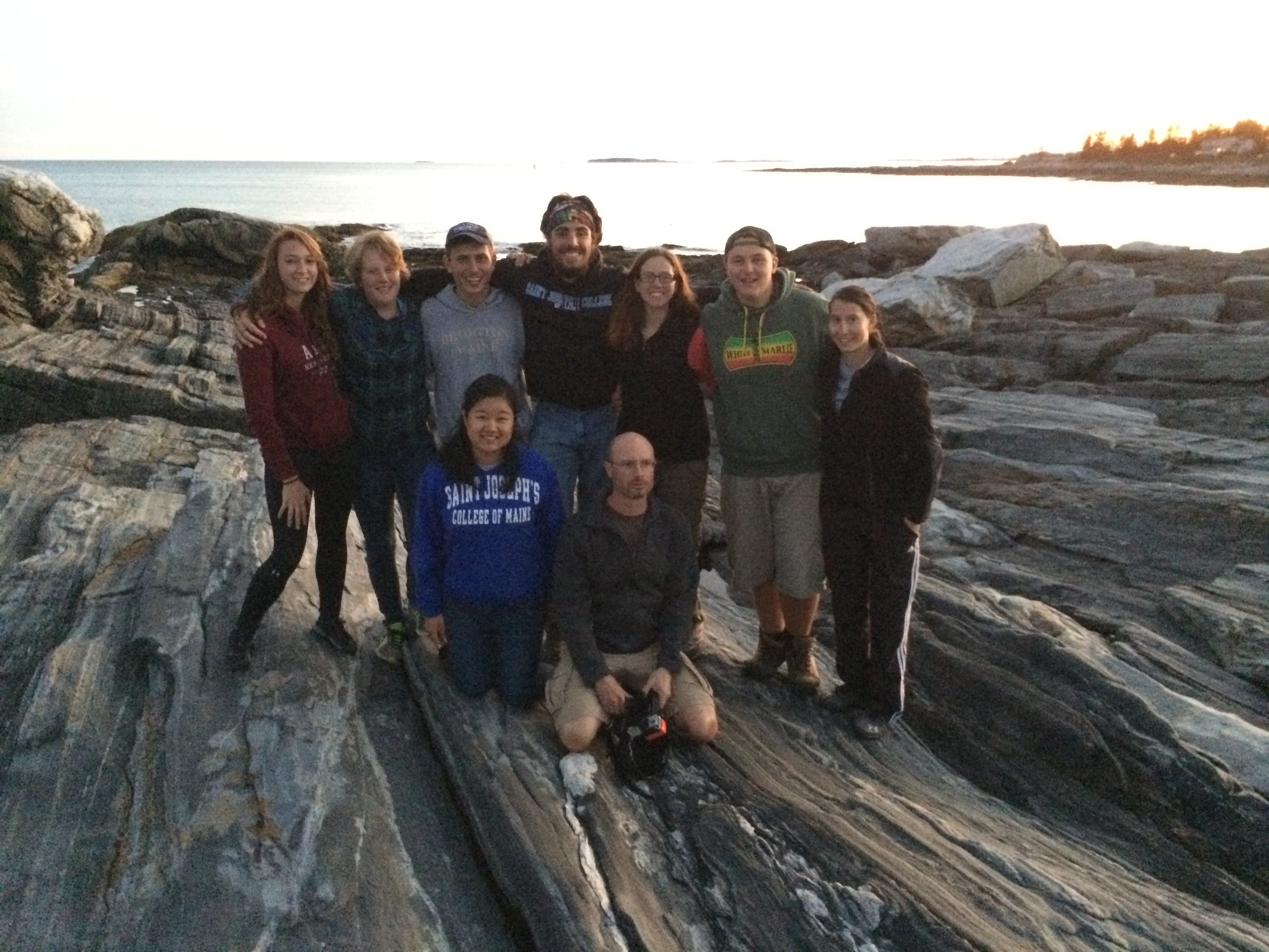
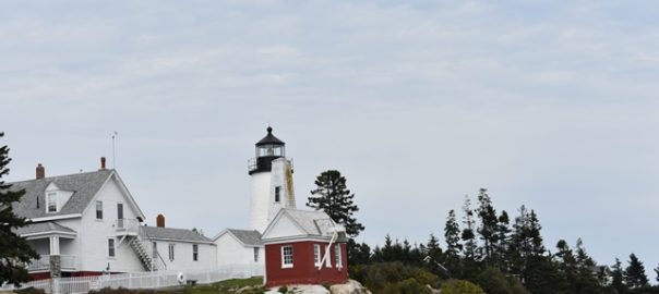
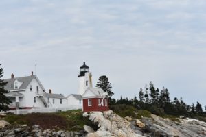
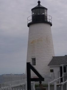
Each time the ESS establishes a brief residence in the Midcoast region of Maine, on the Pemaquid peninsula, I bring the students to a local landmark for a study break to learn a bit of local history and gain a ‘sense of place’. Many books and PhD theses have been written about the history of this region. Indeed, the students will read scientific journal articles of seminal works of marine ecology research, at sites we visit on this very peninsula. A perennial favorite site to visit is the lighthouse at Pemaquid Point.

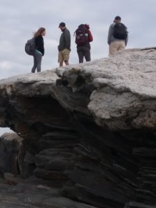
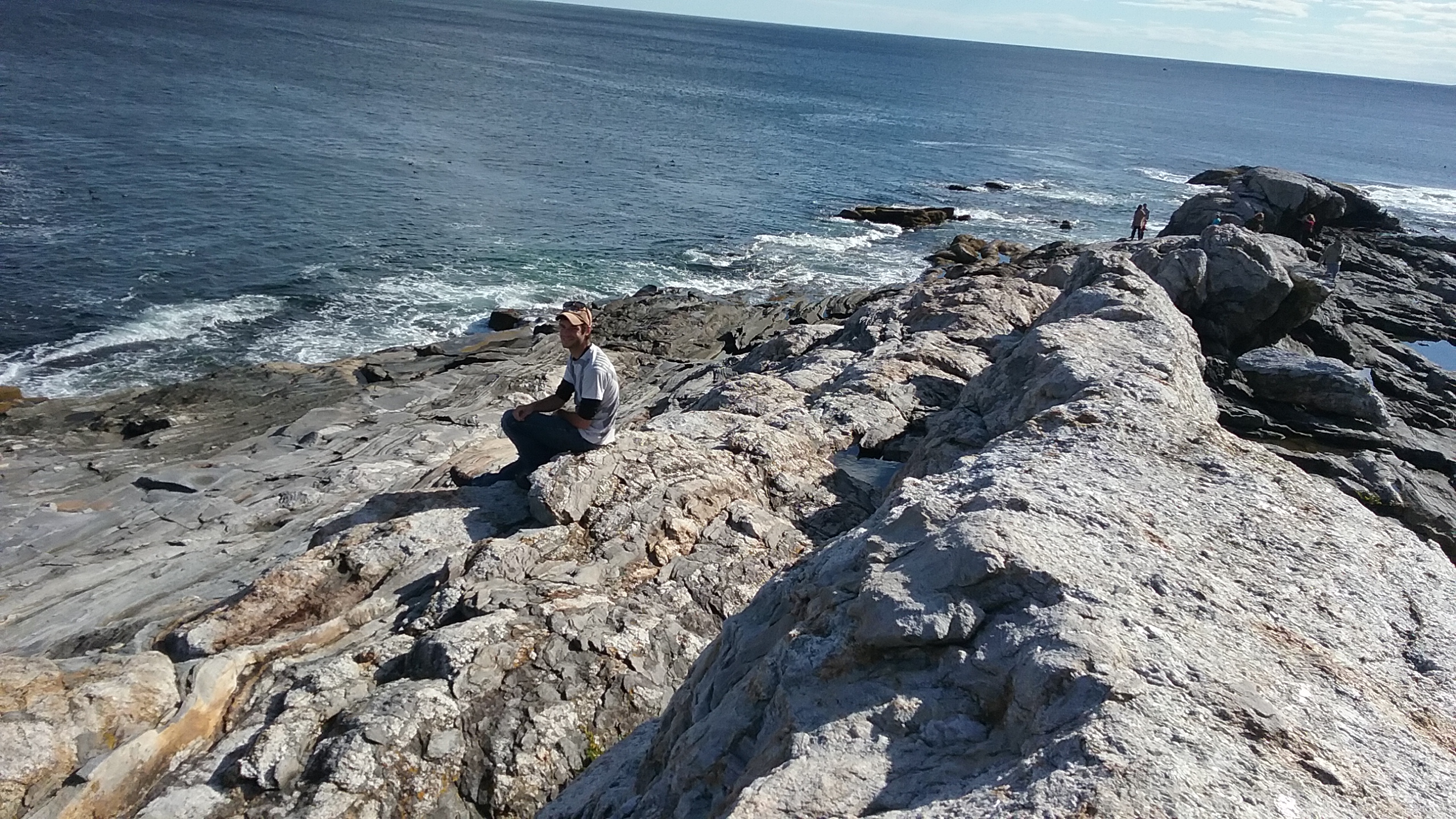
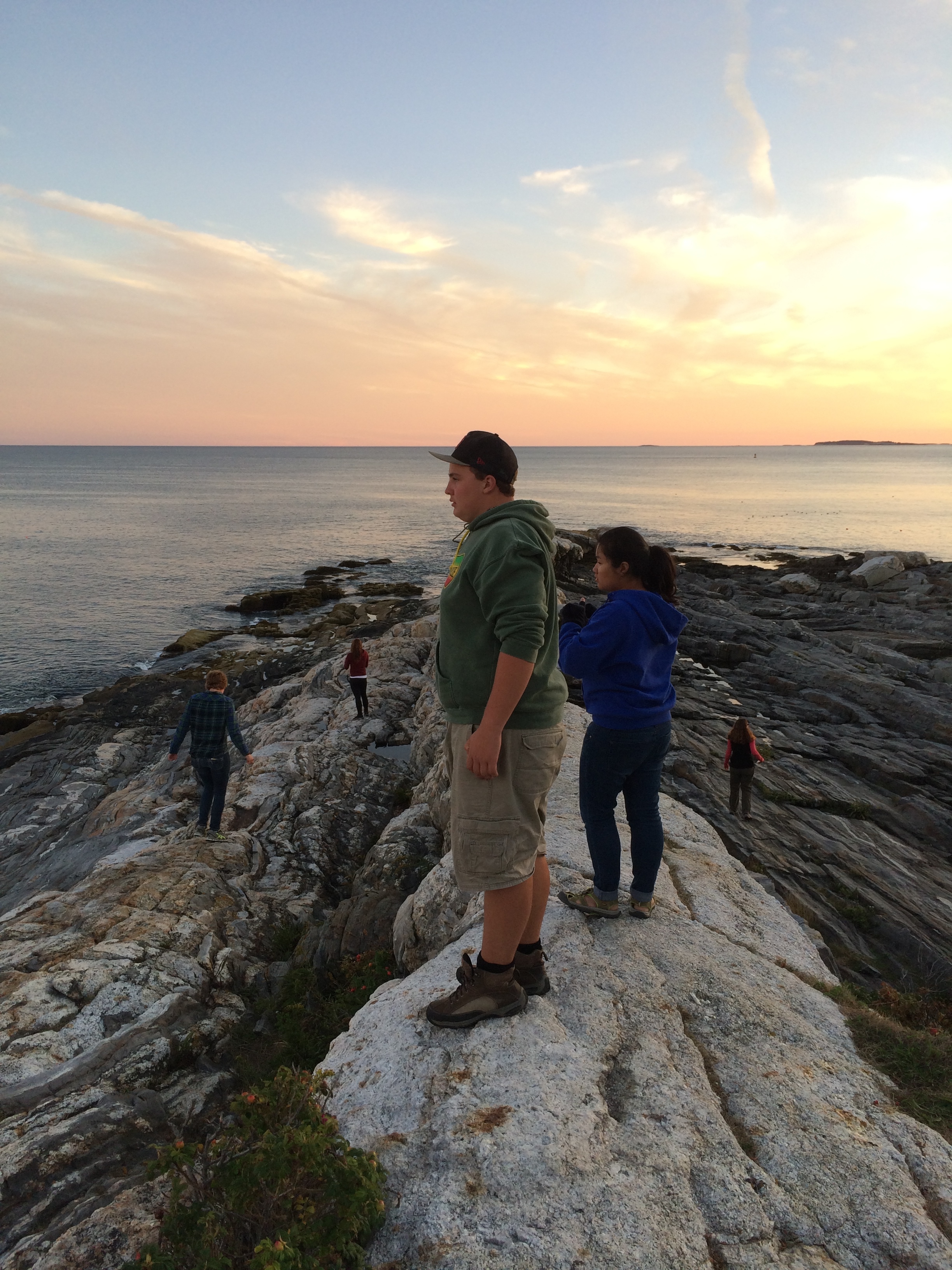
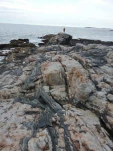
The simple, scenic lighthouse is one of the earliest and most famous of Maine’s lighthouses. It is the lighthouse featured on the Maine State quarter, by popular election of the people of this great state. The lighthouse’s understated beauty is perhaps upstaged by the fantastic rocky promontory upon which it is set. After a few weeks of geology to start the ESS, the students were quick to identify the metamorphic gneiss, with prominent intrusions of igneous quartz and plagioclase.

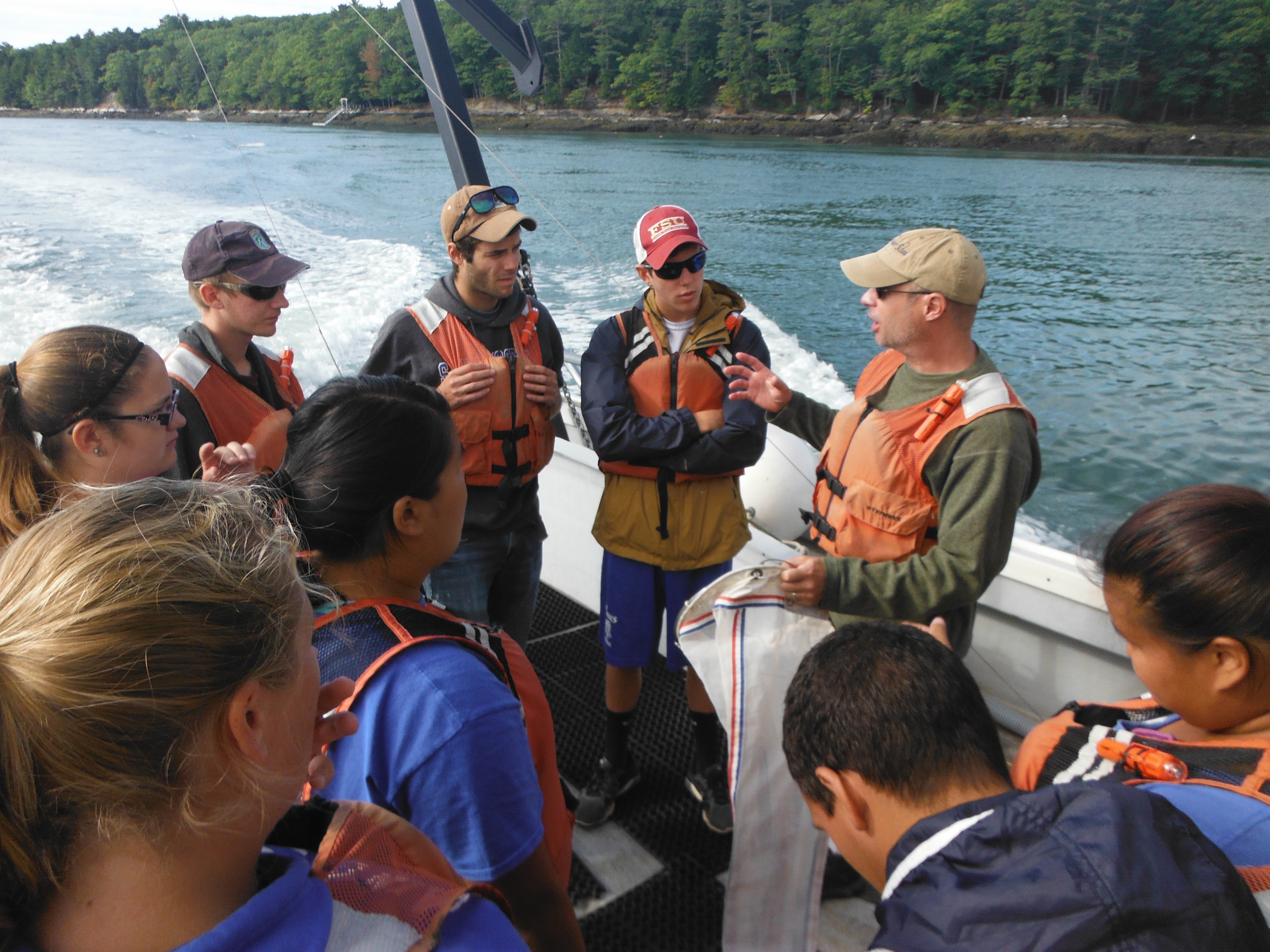
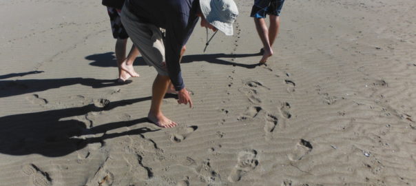
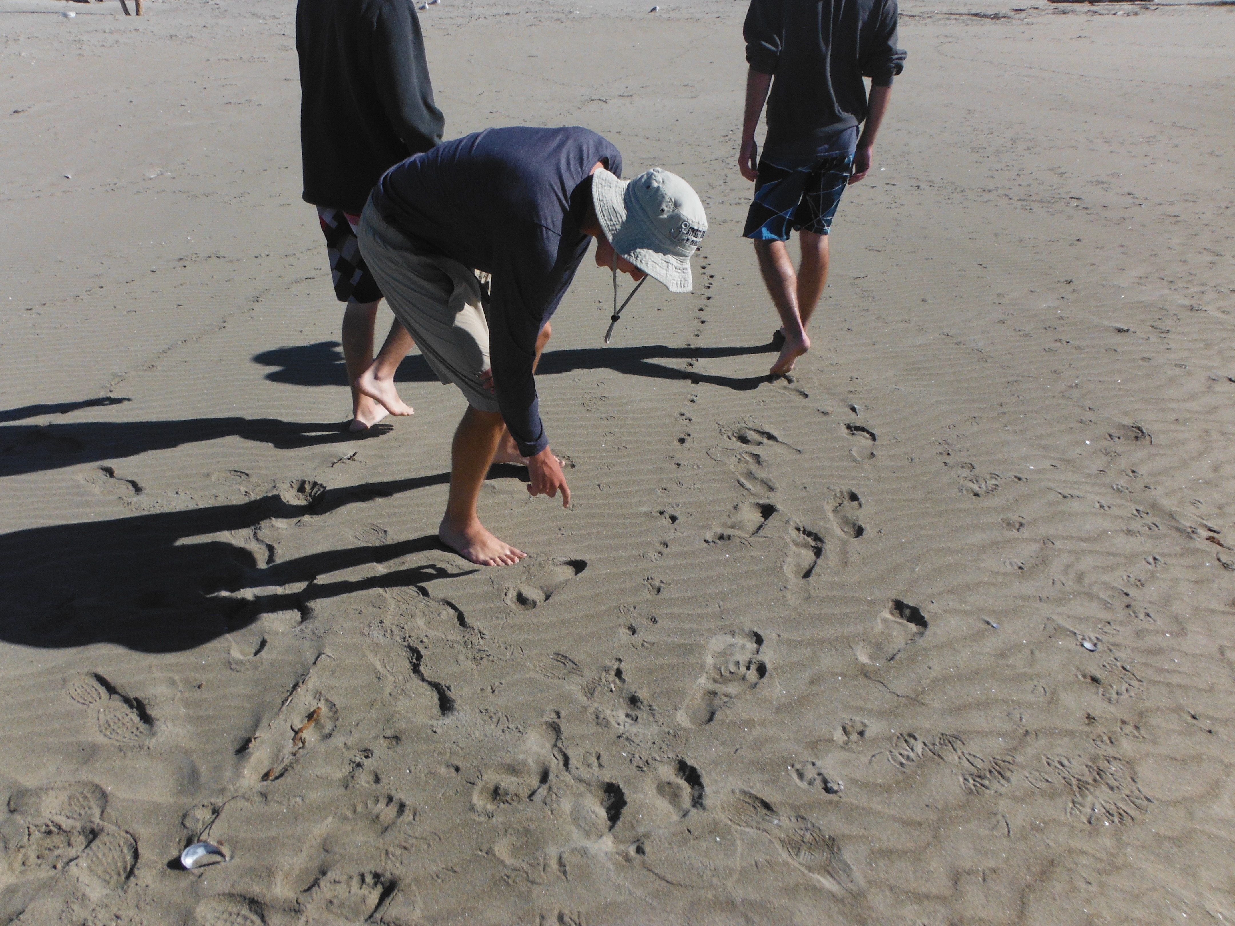
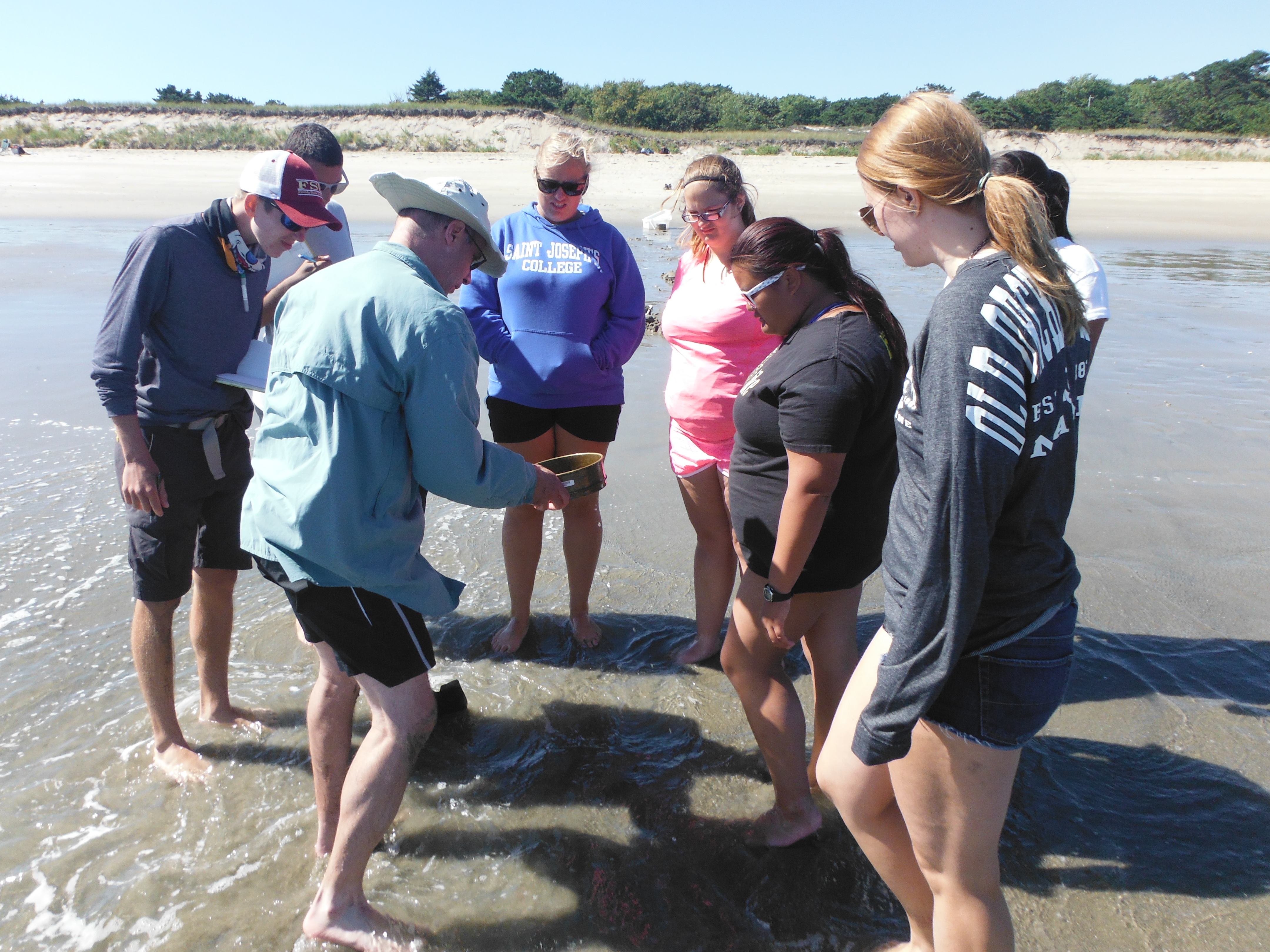
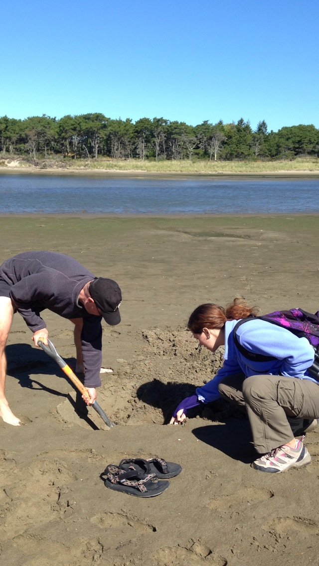
Most of the students climbed to the top of the lighthouse tower to see the ‘fourth order Fresnel lens’ that produces the light signal. They also visited the little museum with displays telling of the lighthouse and the surrounding region. They clambered over the rocks, and took note of the zonation of organisms on the rocky intertidal zone that will be the subject of their next study.

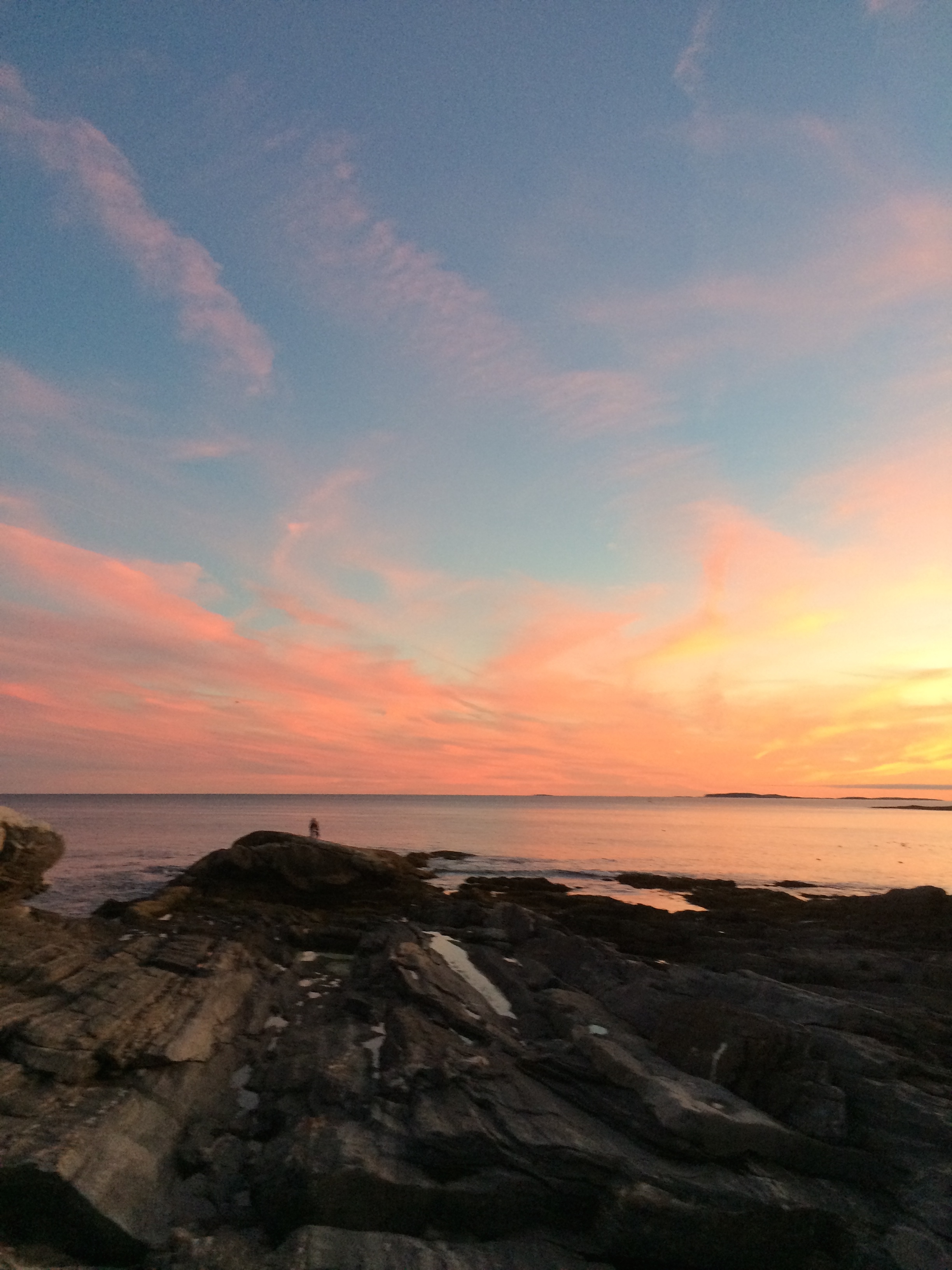
But the main purpose of the visit here was to open a window into a sense of place. I spent the summers of my youth, and two years obtaining my Master’s degree, here on the Pemaquid peninsula. My relationship with this place is as familiar and  nourishing as with a sibling. There is no hope of creating such a feeling in barely a week with students new to the location. Yet by intentionally encouraging them to incorporate all they observe and experience, through all the senses and via different perspectives, I hope they will look at locations not just as a study site with a narrow focus on the specific lesson, but develop a sense of place, a holistic feeling for the connections between the natural world, the history of human activity here, and their own experience in this space, this time. I hope they develop the capacity to feel the sense of wonderment and awe for this special place, and the special experience of the ESS. Cue the eye rolls, “there he goes again with the wonderment and awe…”

Side Trip Through History

The Pemaquid peninsula  is not only a beautiful place to study coastal marine ecology, it is also a place rich with the history of colonial New England and the fishing and seafaring communities that settled here. We took a short break from intensive writing sessions to enjoy a few hours exploring this history on a beautiful autumn afternoon.

?

We visited Fort William Henry and the Colonial Pemaquid Restoration, at the entrance to the inner Pemaquid harbor. This site was once an important fishing outpost, and as a trading center, protected by the British colonists with a series of forts. Each fort succumbed to French or native raiders, who would also lay ruin to the adjacent village. From 1635 to the 1790s, the fort and village were settled, razed, and resettled numerous times. The end of the French and Indian wars and the American Revolution brought an end to the need for a fort, and the village declined in importance relative to other regional settlements – but this site preserves the rich history of early colonial days and the rough life of a northern New England settlement. The present-day fort was reconstructed in 1908, and the archeological site includes re-creations of early buildings, such as the waddle and daub lined wood house, where a wonderful guide in period dress walked us through the history. The students tell me the site also houses Pokemon(s).

restoration

The Pemaquid lighthouse is another wonderful historic site, an iconic lighthouse and one of the most depicted from the Maine coast – its image is found on the Maine state quarter. Situated on a fantastic rocky promontory, it’s a wonderful place to explore the formations of the Maine coast (micaceous schists, right students?) and learn the history of lighthouses in New England.

lighthouse

We all went up into the lighthouse for a view, and scrambled on the rocks for a relaxing diversion from the academic grind. This is one “lesson” they’ll keep with them always.

ben-on-rocks

-Greg Teegarden

A River Cruise

This past Thursday, our group embarked on a day long adventure out of the Darling Marine Center on the research vessel Ira C. We were introduced to Captain Robby Downs as he showed us how to operate the CTD instrument and how to interpret the data on a computer. The CTD measures temperature, salinity, chlorophyll, density and depth in a vertical water column. The study took place on the Damariscotta River which is an estuary. An estuary is generally known as the area in which salt water and fresh water meet. On the way down to the first station we saw numerous oyster farms and local wildlife including seals, heron and cormorants. We began our study closest to the river input near the Newcastle bridge, and collected multiple data samples as we moved towards the mouth of the estuary.

dscf2492

At each station we collected zooplankton and phytoplankton samples with plankton nets. We also used a secchi disc in order to determine the depth to which the sunlight penetrates the water. Everyone also took turns deploying the CTD instrument at the different stations. We took the plankton that we collected to the lab at the Darling Maine Center to be examined under microscopes. We found an abundance of different phytoplankton and zooplankton species, each more alien than the next!

dscf2475-1

Overall the experience was very eye opening. It was awesome to spend the entire day on the boat enjoying the crisp Maine weather. As we traveled down the estuary the scenery was astounding, there were clear skies and the leaves were just beginning to change. We also saw lobster men collecting their traps and then later in the day we witnessed them unloading the days catch for sale. We finished off this day with a great dinner at a local lobstah shack.

.img_22899

-Olivia Marable and Ben Poisson

The Wells Estuarine Research Reserve Salt Marsh

After leaving the sandy beaches of Popham, we traveled south to the Wells National Estuarine Research Reserve. Dr. Teegarden switched for the weekend as Dr. Bernaki took over to lead the students through the ecology of plant species on salt marshes (as well as a slight background on birds). The students embarked on a study using image analysis of pictures they took along various transects they set out, to learn about zonation of marsh plants from the land to the ocean’s edge. Pretty easy, right?

The students started learning to use the software in a several hour long exercise as they went through the ‘demo’ of tracing objects on their computer screens. The following days they used their knowledge of the program and constructed their own experiments with the focus on how different species of plants appear in different areas. The students learned statistical approaches to design their experiments, to add rigor to their studies. The pictures were taken using a quadrat to define the study area of interest, and the saved images were then processed in the following days.

dscf2410

The following two days after the data collection were rainy and provided some much needed down time for everyone to get their work done.

After the long weekend, Dr. Teegarden returned as Dr. Bernaki collected the reports the students had worked so hard to complete. That afternoon we had a pleasant boat ride through Wells harbor, and the Webhannet River of the salt marsh. On the ride we learned much about the history of the area, and examined what could happen to the coastal town as sea level continues to rise. From there we packed up the van and continued on our journey to the Darling Marine Center, where we will be finishing off the marine ecology portion of the ESS.

dscf2424-1

-Andrew Merlino

Signs of life at the beach

We made a smooth transition from geological perspectives on coastlines to an ecological perspective by studying how the dynamic sedimentary environment of a beach controls and affects the organisms trying to make a living there. Most visitors to a beach are there to relax, enjoy the lovely scenery, perhaps take a swim, and their thoughts of what might be living there (not just visiting) are dominated by the obvious, such as seagulls looking to steal a cookie, or perhaps wariness of what large toothed fish might be lurking in the waves. A look at the sands below our feet might not stimulate thoughts of life, yet that is where we are looking in this block of Marine Ecology.

dscf2199

The intrepid students had completed a beach profile, documenting the slope of the beach face, and we carefully observed and recorded features of the wave environment, such as breaker height, wave period, and distance of breakers from shore. All of these affect how much the sands are moved by wave action, which can make it easier or more difficult for organisms living there. We learned what allochtonous matter is, an obvious example being the seaweeds ripped up during a recent storm and washed up on the beach, and how that provides a food source for various consumers. With our observer senses on high alert, we started rooting around for organisms, to see the life that might escape the casual observer’s notice.

On the east side of Popham Beach, with its steeper slope and more dynamic wave swash zone, we found fewer forms of life, dominated by small crustaceans called amphipods, sometimes called “beach fleas”, though they do not look like fleas, and do not bite! Larger ones were found in the wrack stranded in the high intertidal. Vigorous digging along a line towards the water revealed no other visible forms of life, but once we reached the swash zone, where water rushes back and forth from the breaking waves, we found abundant smaller amphipods, happily tumbling in the sands, accessing the organic matter stirred up by wave actions. A fine mesh sieve was needed to sample these critters; without it, they would have escaped our notice. The shorebirds, little sandpipers, were certainly well aware of the amphipods and feasted while we sampled.

swash-zone-amphipods

The west side of the beach, with a much shallower slope, sand bars, and much calmer swash zone, harbored a greater diversity of life forms, particularly various worm forms down in the sediments. We even found fish, sand lance, hiding in the sands awaiting the tides’ return. The amphipods of the east beach were much less abundant here, showing us how different energy regimes support very different life forms.

danielle-sand-lance

All in all, the students enjoyed some lovely days at the beach, learned a great deal about life they hadn’t noticed before, and forged the connection between the physical/geological environment and how that constrains and shapes the community of organisms there. There were a few sighs of melancholy bidding farewell to the beach, but many interesting ecosystems await our attentions!

-Greg Teegarden

Visiting a Maine Icon

When Dr. Johan Erikson and I (mostly Johan) planned out the Environmental Science Semester, one of our goals was to incorporate what I’ve been calling “collateral learning”. One form would be experiences that did not seem to have a direct academic content purpose, but nevertheless created an impression, or formed a memory, that both enriched the student experience and perhaps looped back to things they have learned or will learn.  With this in mind we made a side journey to the iconic Pemaquid Point Lighthouse.

The simple, elegant lighthouse and keeper's house.
The simple, elegant lighthouse and keeper’s house.

True confession time – this is the region where the summers of my youth were whiled away in blissful exploration, long before mobile phones and e-mail accounts or social media intruded upon one’s ability to leave the world behind and drink in the experience. It was perhaps naive of me to imagine that our group would be struck with that sense of child-like wonder by a simple hour-long visit. Yet, the enthusiasm with which the students sprang onto the rocks and fanned out to explore, marvel at rock formations, look for critters, or get lost in the sunset gave me  hope that a little bit of wonder would cut through the whirlwind of modern life and settle in our minds.

IMG_2577      IMG_2585

When I told the students that this was one of the most famous, most photographed or depicted lighthouses in the nation, there was some healthy skepticism. After all, it looks so simple and plain, no red stripes, no grandiose house attached. We later confirmed that this is the lighthouse depicted on the Maine state quarter, from the currency series of state quarters. Some were interested in the history, and in the fate of lighthouses in the modern era. No one could fail to take interest in the fantastic rocky point on which the lighthouse is set. When I asked, “What would Johan say if he were here?” there was a great combination of eye rolls and friendly groans, but also smiles and chuckles – one part “Really? Academics again?” and another part appreciation of the life we academics lead, viewing the world with one eye on the wonder and beauty, and the other through the lens of our training and discipline. I think in the end, the students managed to keep their eyes on the wonder and beauty, and that’s just fine for this episode of collateral learning.

IMG_2603

Just another day at the beach

Popham group on sand flat                Popham dig

I arrived to relieve Dr. Johan Erikson in our tag-team stewardship of the intrepid ESS student group on Wednesday September 10th, finding a group that was well into relaxation mode, after a full session of geology and sprint to the finish with a paper and final exam.  Nothing like a beautiful day at the beach to recharge the batteries. However…… The ensuing day we were back out to perform a beach profile of the dynamic Popham Beach face. The afternoon was all about waves and tides, and now we all can recognize spilling, plunging, and surging breakers, and relate them to the beach slopes we measured in the morning.

As sure as the sun rises, we are moving back into field exercises and experiential learning. As I stated to the students, my ulterior motive is to ruin them for ever going to a beach and just enjoying the beautiful scenery, letting the mind empty. Rather, I would have their minds be restless, constantly looking at patterns, asking “what processes could have produced that pattern in the sand? Why do the shorebirds only seem to forage at the low tide mark, and what are they eating? How did those air holes form in the upper intertidal?” Then, if I’ve done my job well, they’ll think of an explanation, and ask themselves “How might I test whether my explanation is correct?”

Popham morning work

Over the next two days they explored the various nooks and crannies of the sandy beach ecosystem, looked for organisms, and strove to correlate organism distribution with the physical forces that shape the beach ecosystem. That, and a good deal of cooking and eating, enjoying social time, trying to get the measure of the new guy, and transitioning to the ecological perspective. In the first few weeks, they have clearly evolved into a well-oiled machine of meal preparation and community living – most impressive. It’s also wonderful to see the “collateral learning”, such as “bad idea to pour the corn/cream/melted cheese leftovers down the drain when there’s no garbage disposal.” Thankfully there’s no predicament that seems to be beyond Bobby Michaud’s capacity to solve.