Category Archives: Uncategorized

Casco Bay Science and Recreation

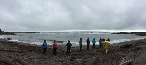
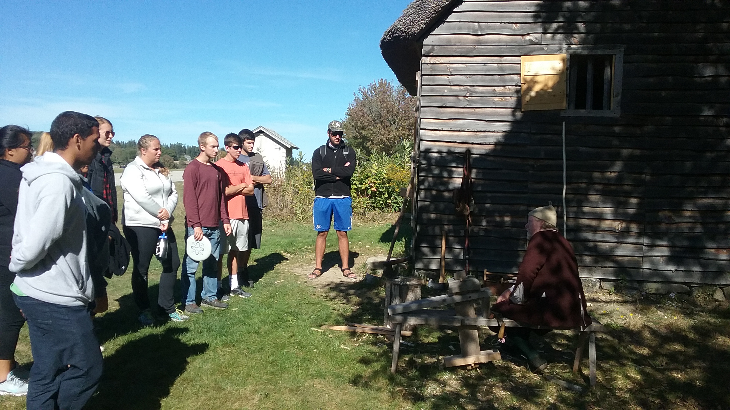
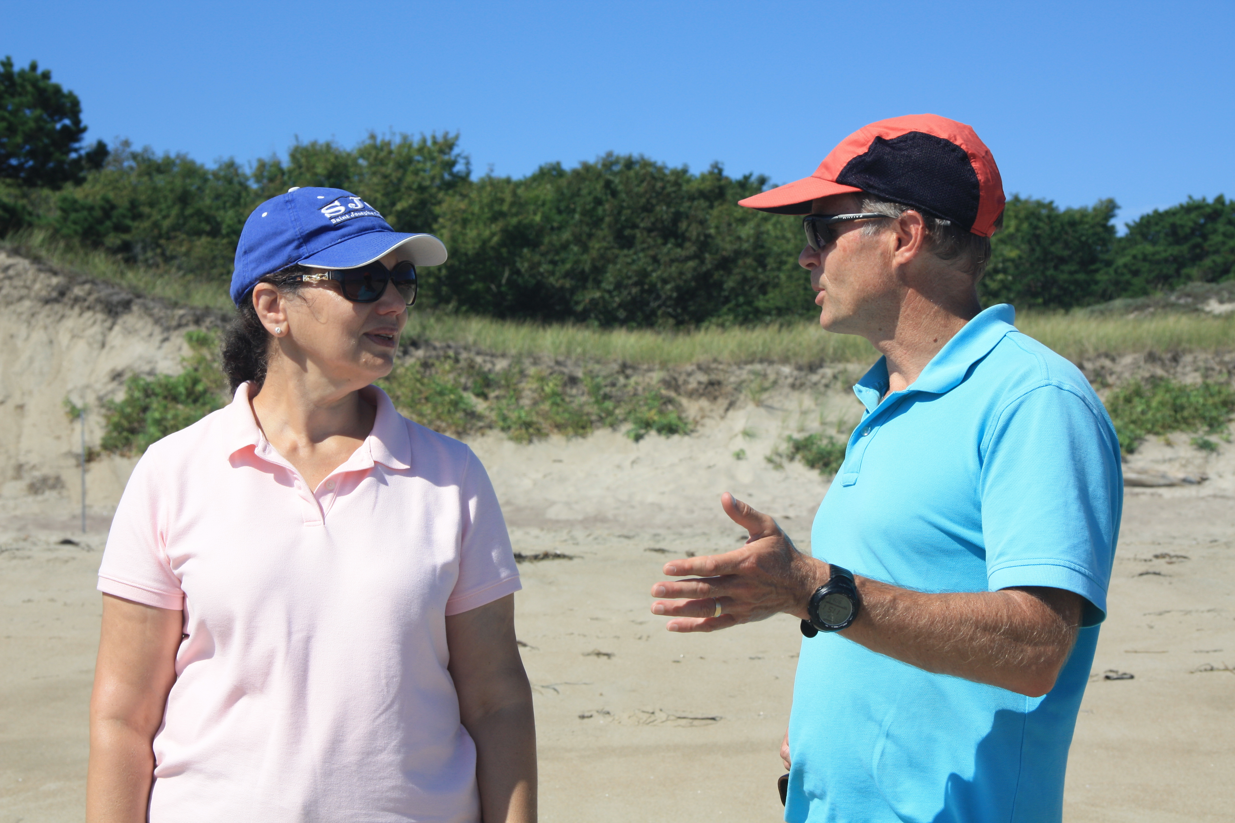
Our second home base while on our schooner adventure was Hermit Island. Don’t let the name fool you though, it isn’t actually an island! Getting to Hermit involved some beautiful warm, but slow, sailing. At one point, after seeing a small pod of porpoises, the waters of outer Casco Bay were so calm the captain issued a swim call, which meant it was time to get wet! Many jumped off the Bagheera while some stayed on deck and watched the fun unfold. The waters were slightly cold but that’s expected for a swim in early October.

swim-group-from-bagheera

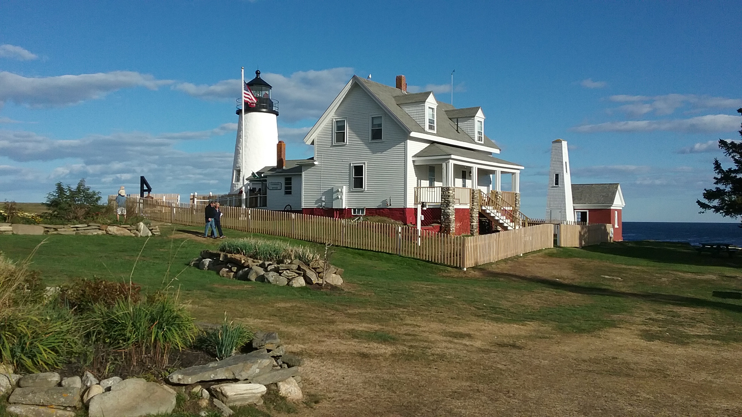
We arrived via the Bagheera right as the sun was beautifully setting in the distance, and Dr. Erikson shuttled us and our gear to the campsite. Tents and dinner were prepared in the dark with our only light source being our head lamps as the days keep getting shorter and shorter. An early bedtime in preparation for a new day followed soon, but not before a campfire was made to roast marshmallows!

new-meadows-coring

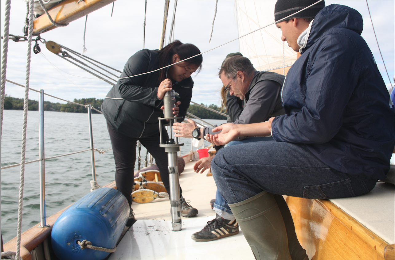
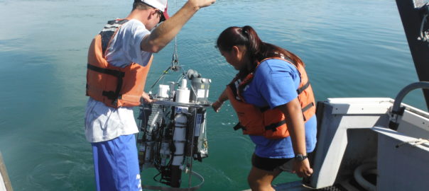
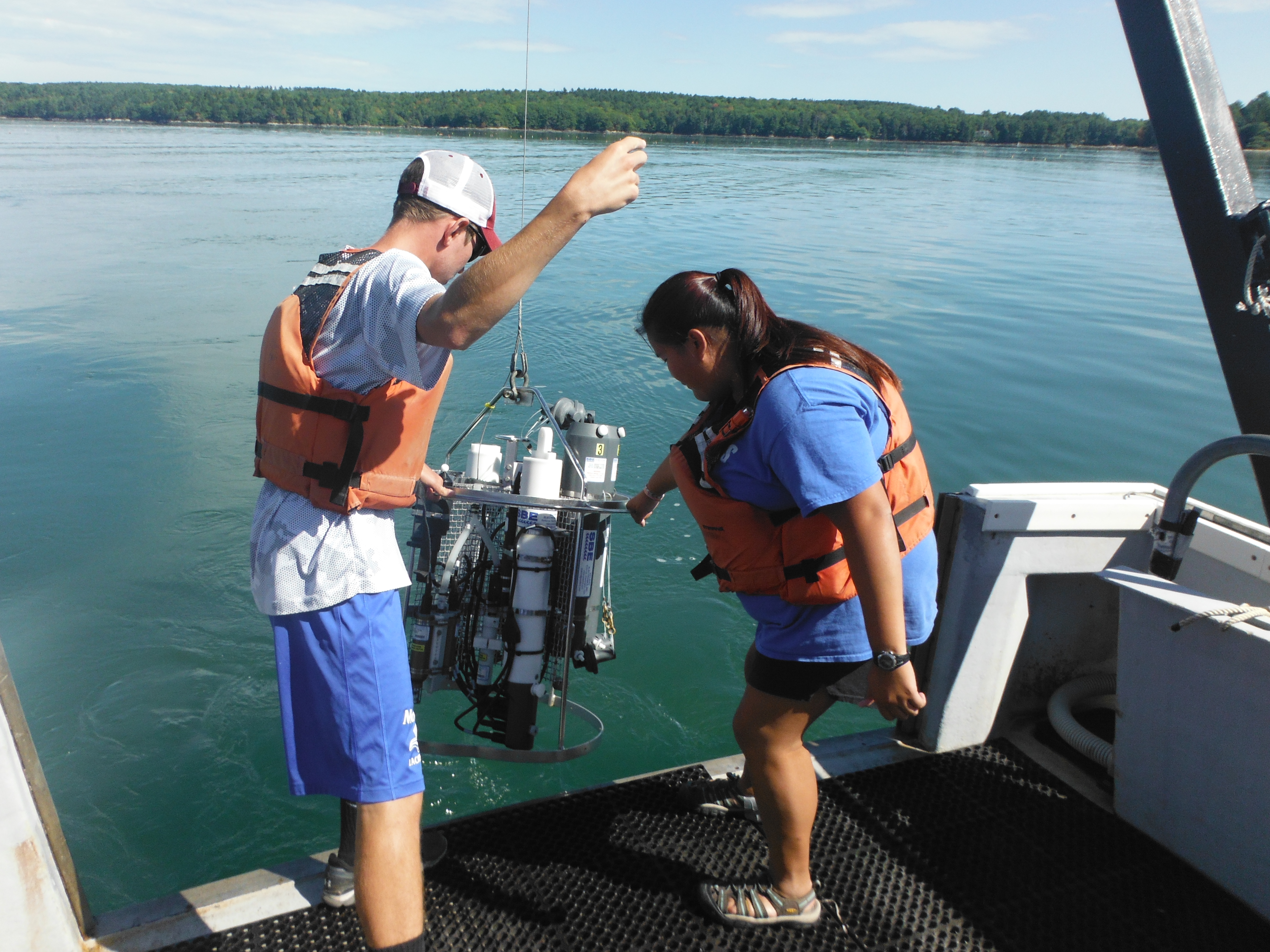
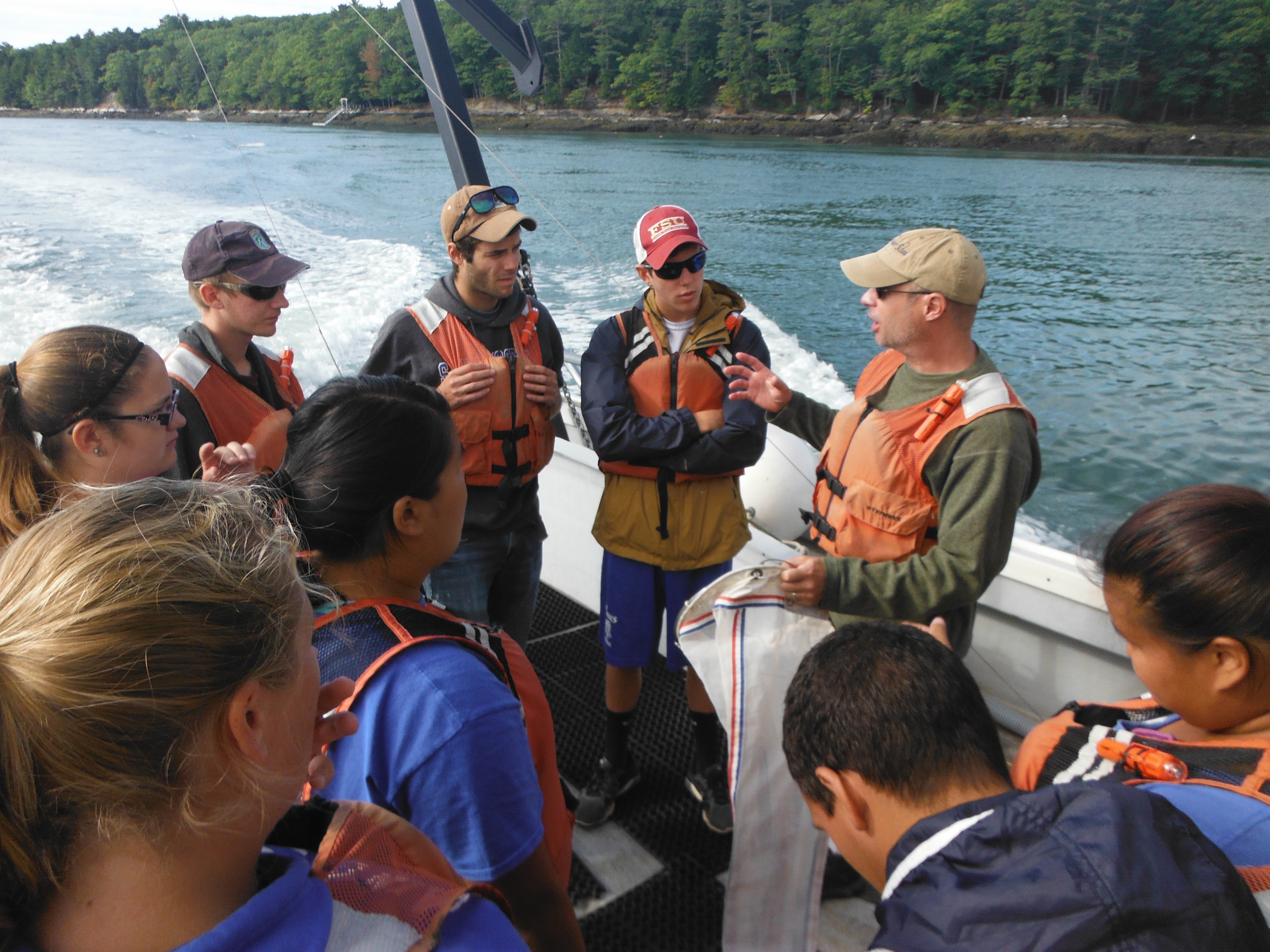
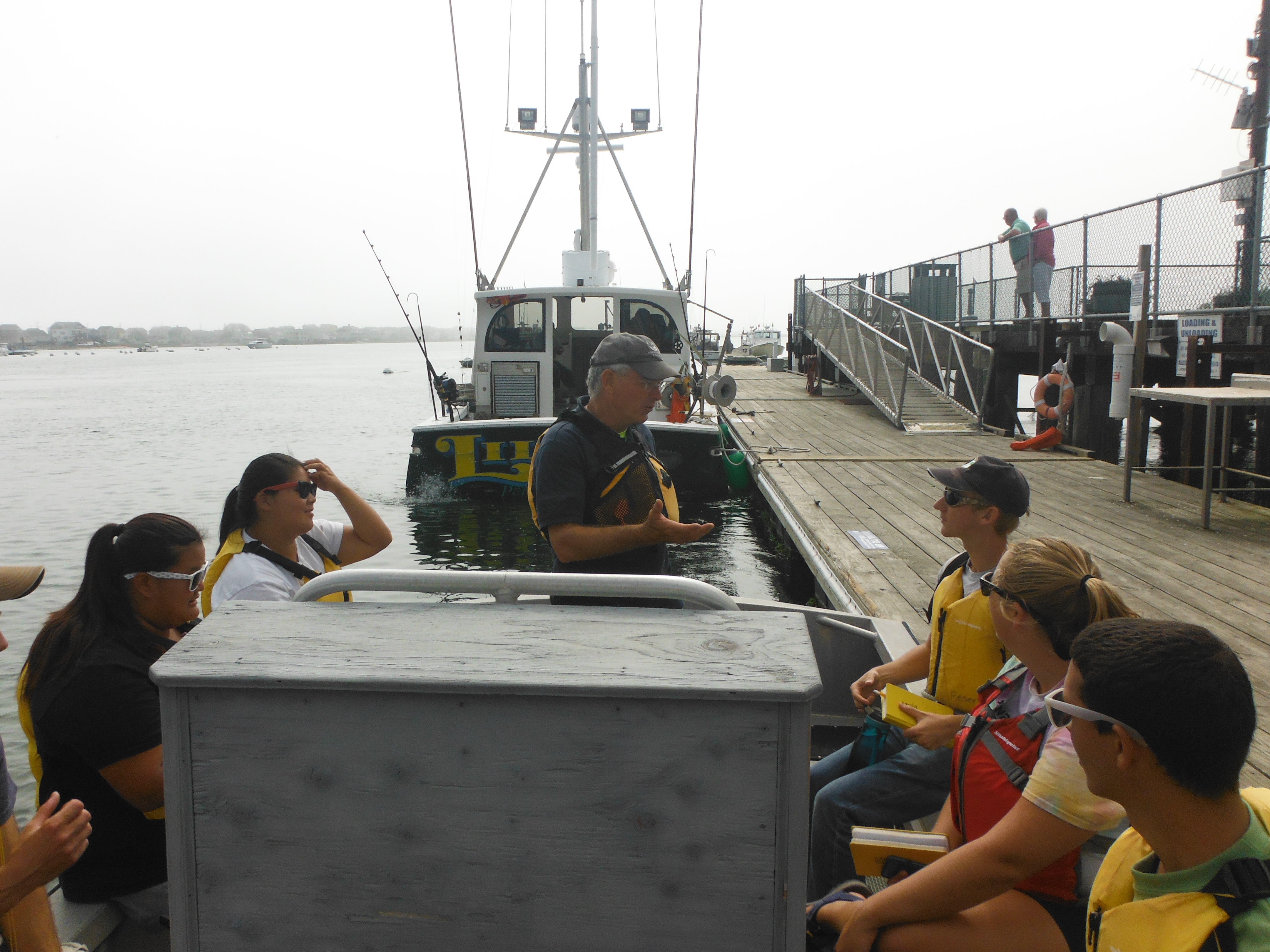
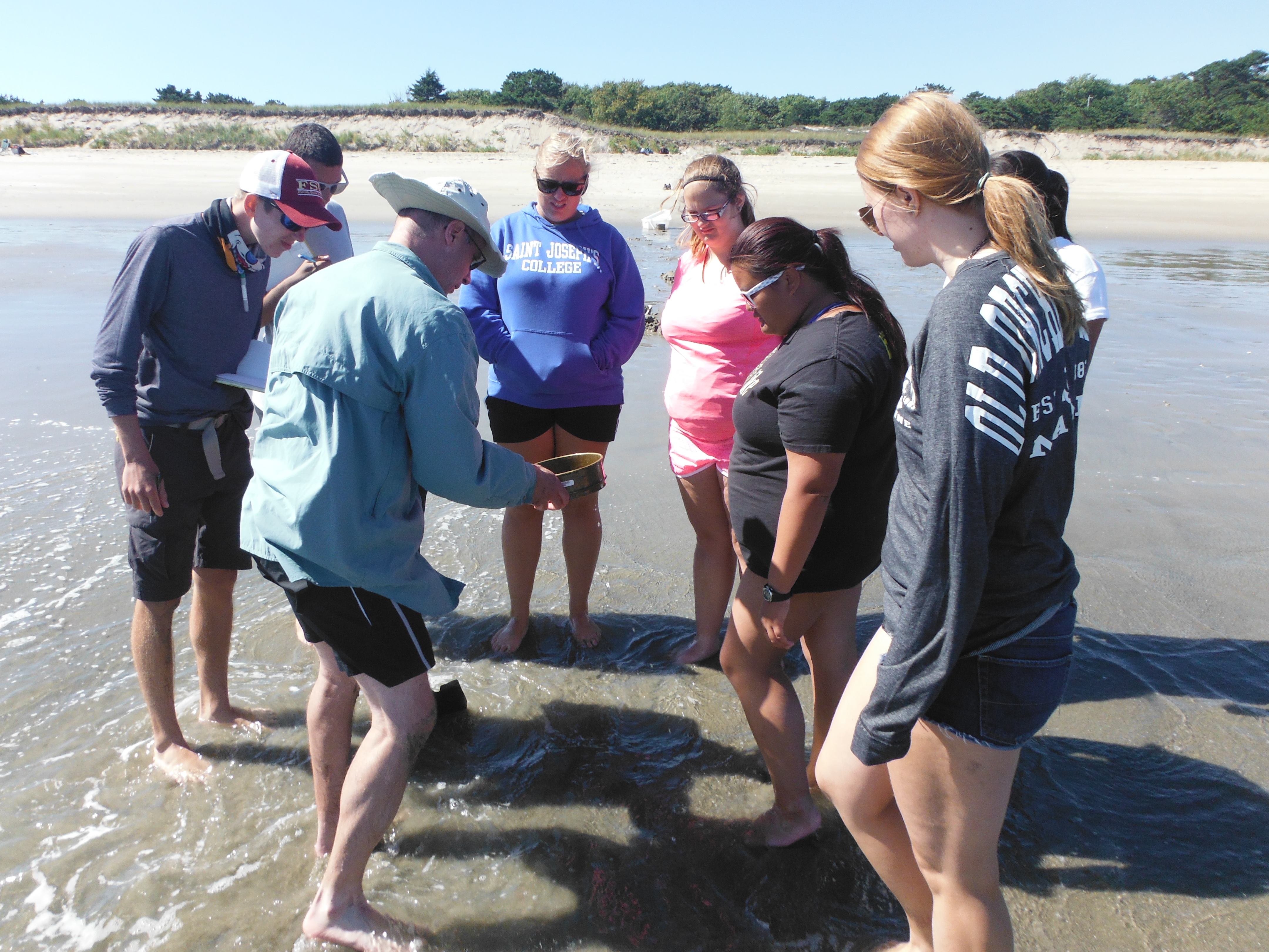
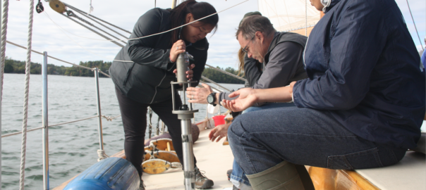
After breakfast the next day we again boarded Bagheera to head to the New Meadows River estuary. This estuary is restricted with little flushing of water, and therefore we expected this might be a place with some stratification caused by density differences of the fresh and salt water. As we took sonde measurements (temperature, salinity, pH etc.) heading up the river from mouth to head of the estuary we observed the highest chlorophyll amounts of the trip so far, up to 18 micrograms/L! This indicates a large nutrient input most likely from the river and runoff which fuels phytoplankton production. Along with the sonde data we also took a core sample from the sediments deep below the water. We watched as our coring device, which looks like a long metal tube with teeth inside, plummeted down to the bottom and slowly got cranked back up with some human horsepower. This core sample was smooth, similar to an ice cream consistency! There were no sand particles present, it had a deep dark mud color and was also pretty smelly due to hydrogen sulfide. This smell indicates this was most likely an anoxic mud layer full of organic matter. As we left the estuary, we had a short lecture on how large fish kills can occur due to anoxic conditions in the estuary. As the stay filled with science and adventure came to an end, we once again enjoyed a shuttle ride to the campsite. These shuttle rides were short, but I particularly enjoyed reading all of the names of the lobster boats as we rode through. The stay on Hermit island was short, but the memories will certainly last much longer!

-Jess Selva ’17

Waves, WWII (and a bit or rain) on Jewell Island

It was a gloomy, rainy morning as we boarded the Bagheera on Peaks Island and set sail to Jewell Island in Casco Bay. We stopped at various places near islands to collect data from a CTD sonde, which measures temperature, salinity, pH, dissolved oxygen, turbidity and chlorophyll at various depths. We also took a core sample of the top 20 cm of the seafloor sediment by dropping a coring device attached to a cable off of the foreboom. Then we reeled it in and analyzed the muddy sediment. Once on Jewell Island we lowered our dry bags and food into Dr. Erikson’s little boat that we are towing for the entire voyage. Getting all of our gear to shore took several trips. We set up tents before it got dark and started getting dinner ready. The rain let up for a little bit until dinner time, when it picked up again, but fortunately we had a big group tent that could keep all of us out of the rain.

The following day we had lecture at the island’s Punchbowl. Here we learned about wave structures and how the two sides of the Punchbowl were affected differently by the same incoming wave sets. One side of the Punchbowl had rough waves and the other side was calm with hardly any waves flowing in, due to the friction generated by the shallowness of the bottom. We saw a dead seal that was missing its tail fins and you could see the jaw of the seal. It was so interesting, yet saddening at the sight of the poor mammal. We moved to the calmer side of the Punchbowl, where we learned that area was a big nursery during the summer months for organisms because predators could not get to them due to the water being so warm and shallow.

punchbowl

After lunch we went on a hike through the island. We saw two towers used for triangulation during World War II. One tower was about 5-6 stories high. From the top we saw above the trees the entire island, Portland, Halfway Rock and many miles out to sea. We reached a part of the island that had the WWII tunnels where ammunition and communication equipment were stored. We walked through the tunnels with many side rooms, large and small. On the far side of the tunnels, we reached what was left of large gun turrets. The structures were so fascinating and a part of history I didn’t know even existed from World War II.

jewell-tower

-Danielle Martin’19

Side Trip Through History

The Pemaquid peninsula  is not only a beautiful place to study coastal marine ecology, it is also a place rich with the history of colonial New England and the fishing and seafaring communities that settled here. We took a short break from intensive writing sessions to enjoy a few hours exploring this history on a beautiful autumn afternoon.

?

We visited Fort William Henry and the Colonial Pemaquid Restoration, at the entrance to the inner Pemaquid harbor. This site was once an important fishing outpost, and as a trading center, protected by the British colonists with a series of forts. Each fort succumbed to French or native raiders, who would also lay ruin to the adjacent village. From 1635 to the 1790s, the fort and village were settled, razed, and resettled numerous times. The end of the French and Indian wars and the American Revolution brought an end to the need for a fort, and the village declined in importance relative to other regional settlements – but this site preserves the rich history of early colonial days and the rough life of a northern New England settlement. The present-day fort was reconstructed in 1908, and the archeological site includes re-creations of early buildings, such as the waddle and daub lined wood house, where a wonderful guide in period dress walked us through the history. The students tell me the site also houses Pokemon(s).

restoration

The Pemaquid lighthouse is another wonderful historic site, an iconic lighthouse and one of the most depicted from the Maine coast – its image is found on the Maine state quarter. Situated on a fantastic rocky promontory, it’s a wonderful place to explore the formations of the Maine coast (micaceous schists, right students?) and learn the history of lighthouses in New England.

lighthouse

We all went up into the lighthouse for a view, and scrambled on the rocks for a relaxing diversion from the academic grind. This is one “lesson” they’ll keep with them always.

ben-on-rocks

-Greg Teegarden

A River Cruise

This past Thursday, our group embarked on a day long adventure out of the Darling Marine Center on the research vessel Ira C. We were introduced to Captain Robby Downs as he showed us how to operate the CTD instrument and how to interpret the data on a computer. The CTD measures temperature, salinity, chlorophyll, density and depth in a vertical water column. The study took place on the Damariscotta River which is an estuary. An estuary is generally known as the area in which salt water and fresh water meet. On the way down to the first station we saw numerous oyster farms and local wildlife including seals, heron and cormorants. We began our study closest to the river input near the Newcastle bridge, and collected multiple data samples as we moved towards the mouth of the estuary.

dscf2492

At each station we collected zooplankton and phytoplankton samples with plankton nets. We also used a secchi disc in order to determine the depth to which the sunlight penetrates the water. Everyone also took turns deploying the CTD instrument at the different stations. We took the plankton that we collected to the lab at the Darling Maine Center to be examined under microscopes. We found an abundance of different phytoplankton and zooplankton species, each more alien than the next!

dscf2475-1

Overall the experience was very eye opening. It was awesome to spend the entire day on the boat enjoying the crisp Maine weather. As we traveled down the estuary the scenery was astounding, there were clear skies and the leaves were just beginning to change. We also saw lobster men collecting their traps and then later in the day we witnessed them unloading the days catch for sale. We finished off this day with a great dinner at a local lobstah shack.

.img_22899

-Olivia Marable and Ben Poisson

The Wells Estuarine Research Reserve Salt Marsh

After leaving the sandy beaches of Popham, we traveled south to the Wells National Estuarine Research Reserve. Dr. Teegarden switched for the weekend as Dr. Bernaki took over to lead the students through the ecology of plant species on salt marshes (as well as a slight background on birds). The students embarked on a study using image analysis of pictures they took along various transects they set out, to learn about zonation of marsh plants from the land to the ocean’s edge. Pretty easy, right?

The students started learning to use the software in a several hour long exercise as they went through the ‘demo’ of tracing objects on their computer screens. The following days they used their knowledge of the program and constructed their own experiments with the focus on how different species of plants appear in different areas. The students learned statistical approaches to design their experiments, to add rigor to their studies. The pictures were taken using a quadrat to define the study area of interest, and the saved images were then processed in the following days.

dscf2410

The following two days after the data collection were rainy and provided some much needed down time for everyone to get their work done.

After the long weekend, Dr. Teegarden returned as Dr. Bernaki collected the reports the students had worked so hard to complete. That afternoon we had a pleasant boat ride through Wells harbor, and the Webhannet River of the salt marsh. On the ride we learned much about the history of the area, and examined what could happen to the coastal town as sea level continues to rise. From there we packed up the van and continued on our journey to the Darling Marine Center, where we will be finishing off the marine ecology portion of the ESS.

dscf2424-1

-Andrew Merlino

Signs of life at the beach

We made a smooth transition from geological perspectives on coastlines to an ecological perspective by studying how the dynamic sedimentary environment of a beach controls and affects the organisms trying to make a living there. Most visitors to a beach are there to relax, enjoy the lovely scenery, perhaps take a swim, and their thoughts of what might be living there (not just visiting) are dominated by the obvious, such as seagulls looking to steal a cookie, or perhaps wariness of what large toothed fish might be lurking in the waves. A look at the sands below our feet might not stimulate thoughts of life, yet that is where we are looking in this block of Marine Ecology.

dscf2199

The intrepid students had completed a beach profile, documenting the slope of the beach face, and we carefully observed and recorded features of the wave environment, such as breaker height, wave period, and distance of breakers from shore. All of these affect how much the sands are moved by wave action, which can make it easier or more difficult for organisms living there. We learned what allochtonous matter is, an obvious example being the seaweeds ripped up during a recent storm and washed up on the beach, and how that provides a food source for various consumers. With our observer senses on high alert, we started rooting around for organisms, to see the life that might escape the casual observer’s notice.

On the east side of Popham Beach, with its steeper slope and more dynamic wave swash zone, we found fewer forms of life, dominated by small crustaceans called amphipods, sometimes called “beach fleas”, though they do not look like fleas, and do not bite! Larger ones were found in the wrack stranded in the high intertidal. Vigorous digging along a line towards the water revealed no other visible forms of life, but once we reached the swash zone, where water rushes back and forth from the breaking waves, we found abundant smaller amphipods, happily tumbling in the sands, accessing the organic matter stirred up by wave actions. A fine mesh sieve was needed to sample these critters; without it, they would have escaped our notice. The shorebirds, little sandpipers, were certainly well aware of the amphipods and feasted while we sampled.

swash-zone-amphipods

The west side of the beach, with a much shallower slope, sand bars, and much calmer swash zone, harbored a greater diversity of life forms, particularly various worm forms down in the sediments. We even found fish, sand lance, hiding in the sands awaiting the tides’ return. The amphipods of the east beach were much less abundant here, showing us how different energy regimes support very different life forms.

danielle-sand-lance

All in all, the students enjoyed some lovely days at the beach, learned a great deal about life they hadn’t noticed before, and forged the connection between the physical/geological environment and how that constrains and shapes the community of organisms there. There were a few sighs of melancholy bidding farewell to the beach, but many interesting ecosystems await our attentions!

-Greg Teegarden

Beach Days

After finishing up Glacial Geology and Climate Change in New Hampshire, we headed to Popham Beach in Phippsburg, Maine. Our first day in Popham was a beautiful 80 degree day with clear sunny skies! We headed to the beach front for fieldwork and some relaxation, and Dean Ireland joined us for the ESS experience.

Our fieldwork consisted of creating a beach cross-section profile.  We measured the changing slope from the low tide line to the back dunes, and measured the grain size distribution of the sand.  This information is essential in understanding the dynamics of this ecosystem, and will be used in part when understanding what organisms occur where.

img_1580 img_1512

After our fieldwork was complete, we were able to have some free time. In our free time many of us went swimming in the ocean and rode the huge waves. Some of us stayed in the water for over 40 minutes riding the waves or body surfing, while other got out to play some Frisbee on the beach. We also wandered over to Fox Island, which is only an island at high tide. We all climbed up on the rocks to get a 360-degree view of Popham Beach and to see a distant lighthouse. We quickly had to leave though, as the tide was coming in and the sand bar connecting to Fox island was quickly disappearing.

Later that evening, Dr. Erikson said his goodbyes for now as he goes back to campus to teach.  In a few short weeks we will be reunited yet again, but for now we will be learning marine ecology with Dr. Teegarden.  We look forward to having class on a beautiful beach with a great professor!

-Leia Berube ’18 and Jess Selva ’17