Monthly Archives: August 2016

Halifax Hills

DCIM100GOPROGOPR0376.
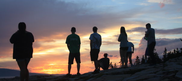
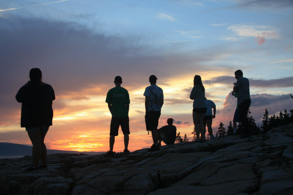
It’s now late August, and most students are moving into their dorms on campus but not us. We are in Halifax and have just completed our first mid-term exam with a final exam for ES210 Climate Change and Glacial Geology approaching a mere 10 days away. After the mid-term we were able to get a breath of fresh air and visit the Citadel, a British/Canadian military fort from the 1800’s built on top of a drumlin (a 500 m long oval mound of unconsolidated sediment deposited under the outermost 100 km periphery of a warm-based continental glacier). Soldiers serving here probably never knew they had their elevation advantage due to a glacial deposit.

IMG_0936

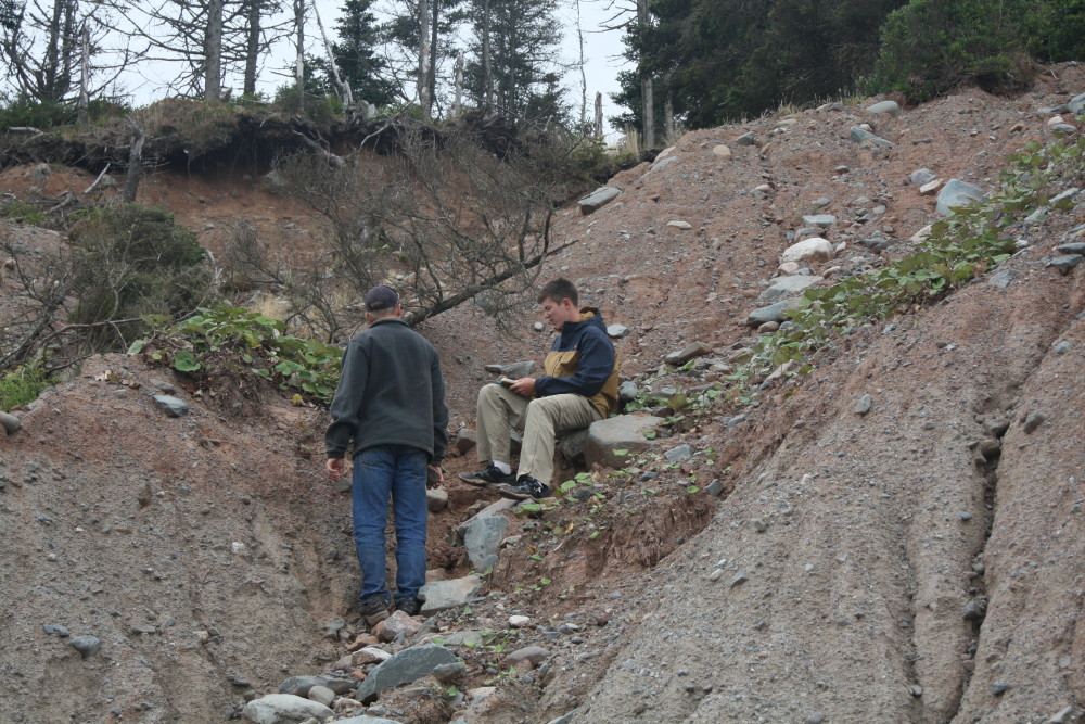
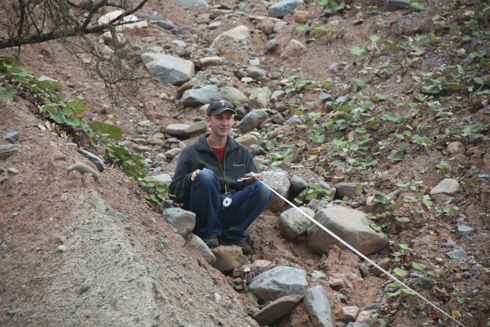
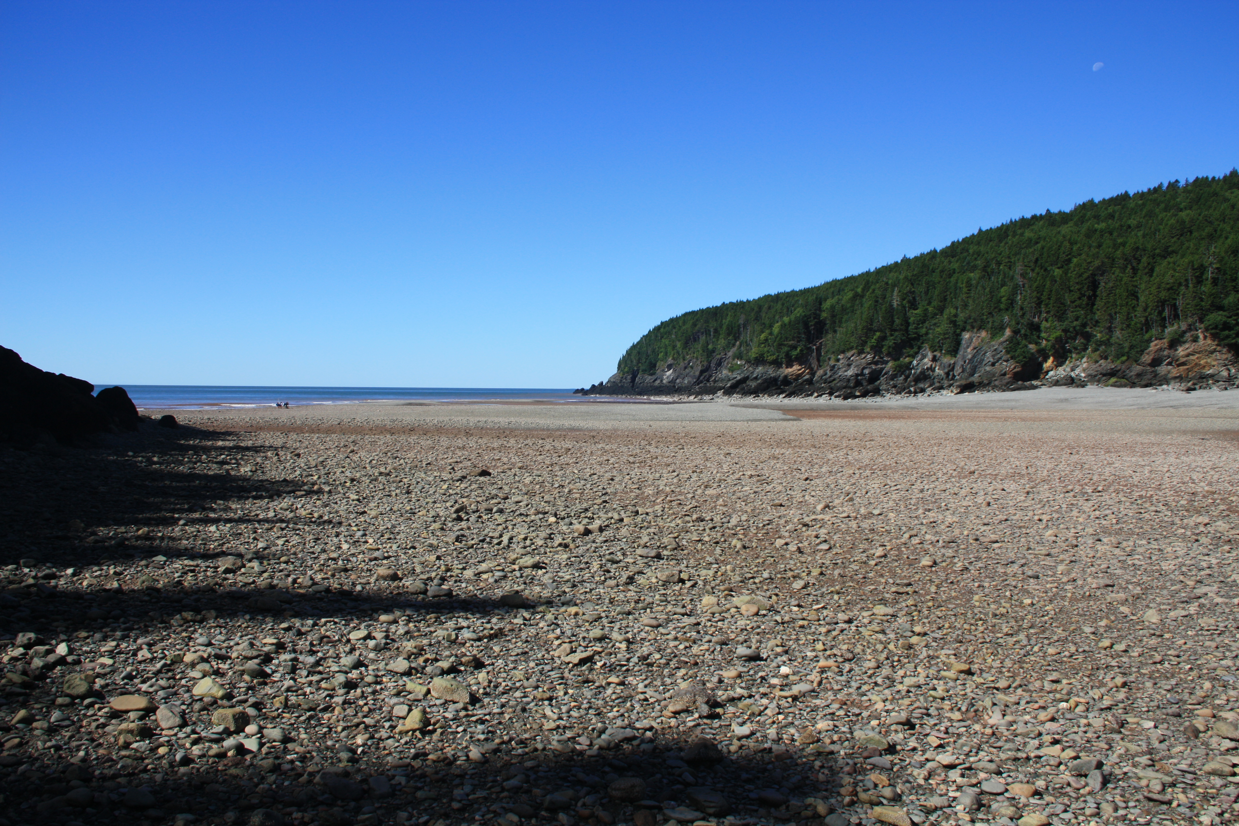
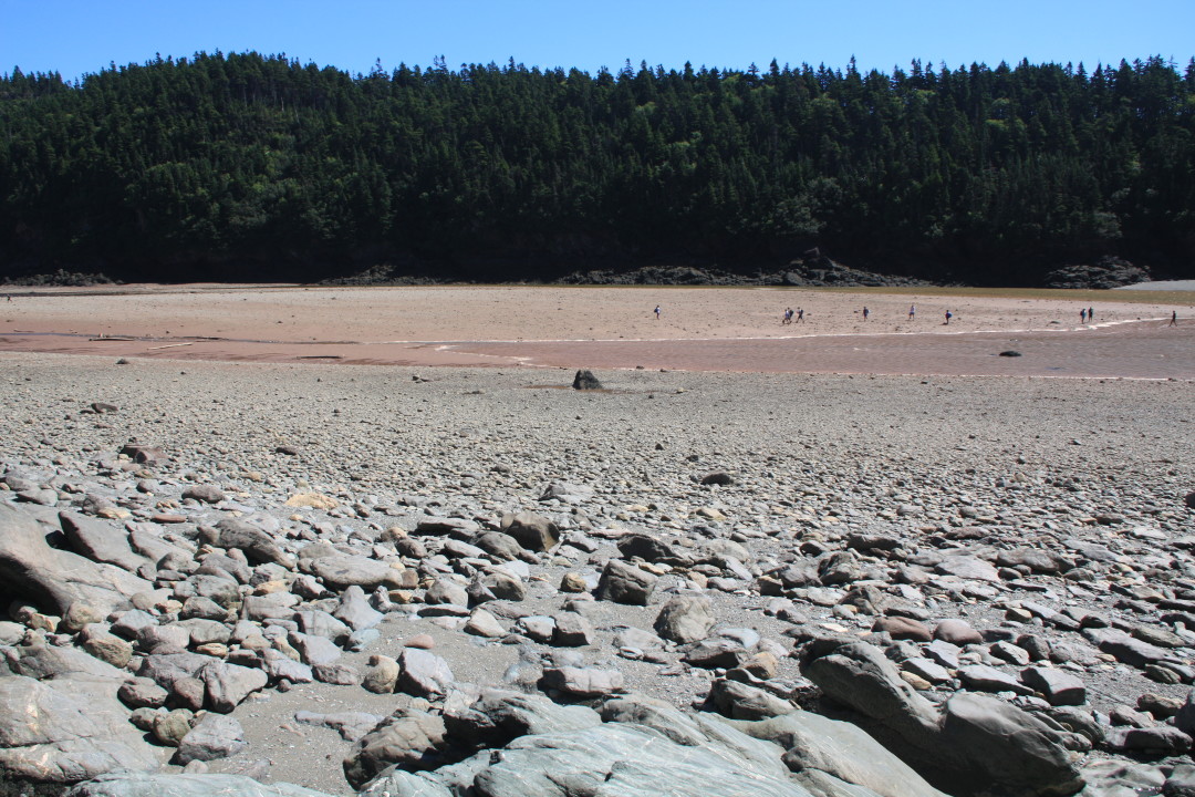
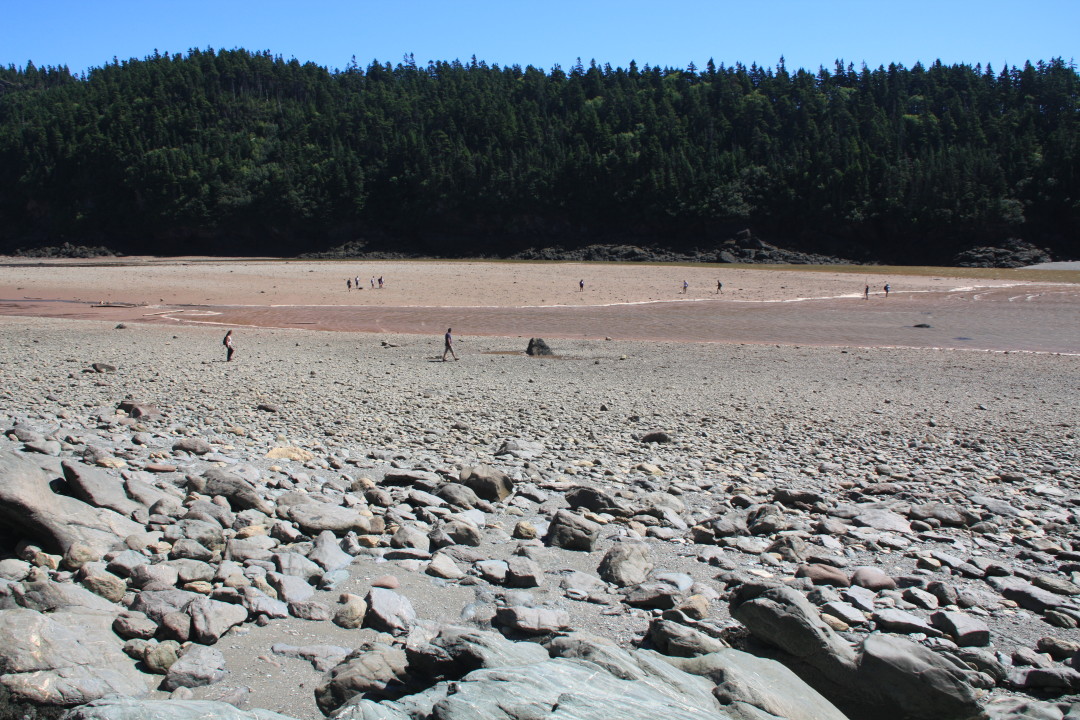
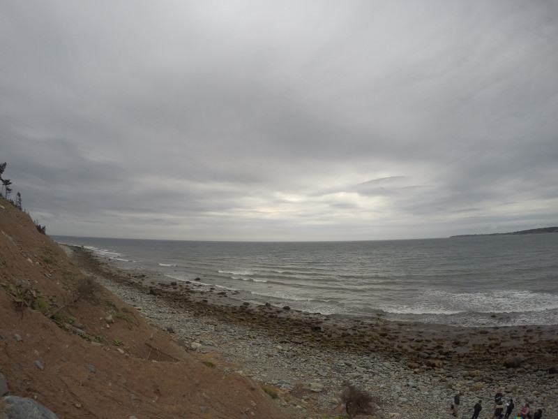
We started the following day driving 40 minutes east through Dartmouth (home of Netflix’s Trailer Park Boys) to Lawrencetown and its well exposed drumlin. We chose this spot because the ocean has eroded away some of the drumlin’s side, exposing about 25 of unsorted sediment. On this steep slope there were two distinct layers that are thought to be approximately 70,000 and 11,000 years old. There was 6.8 meters of grey, massive sand, silt and cobbles and approximately 20 meters of a similar red sediment. Glacial shear causes the long axis of the rocks to point in the direction of flow. Our objective was to measure the orientation (trend and plunge) of elongated pebble- to cobble-size rocks to see if the direction they pointed was different in the grey and red layers. We braved what felt like Mount Everest (a whole 15 meters) with the open ocean directly behind us in order to find elongated rocks. We hypothesized a second (red) drumlin was deposited on top of an older (grey) one, creating the two separate layers. Some of the cobbles we had to dig out……..with the same shovel we previously lost and then found in Fundy. After we took our data we all fell asleep on the ride home, no one moved for the entire 40 minutes. We were incredibly tired from braving treacherous hills, but we had breakfast for dinner to look forward to! After a long day it was time to wind down and type up our lab reports for the day, as a science course without a lab report would not be a real science course.

Joe O’Reilly ’18  & Tyler Allen ’18

IMG_0916


The Great Race of Fundy

IMG_9883IMG_9906For today’s adventure we went to Wolfe Point in Fundy National Park, New Brunswick. This area is home to one of the most extreme tidal zones in the world, with tides reaching up to 51 feet. We began the day with a lecture from Dr. Erikson about the significance of the tidal zone at Fundy and the processes which formed the distinctive coast. After the lesson we jumped right into the field work. The goal was to measure a transect of the intertidal zone starting at the low tide line. Our basic process was to measure a distance of 30 meters and the change in elevation between the two points with a clinometer and a stadia rod. This seemingly straightforward exercise was complicated after lunch as the tide was rushing in. The huge tidal range leads to an extremely fast moving shoreline on this low angled beach!IMG_9907

This is when the great race of Fundy began. We had already done 360 m of the intertidal zone when we were caught by the rushing tide. It appeared to start slowly, but soon rushed in and some of us (Joe) were left stranded on mini islands, while others were stuck directly in the tidal action (Dr. Erikson and Emma) gathering data for our calculations. There was a point in time when the water was waist deep on Emma, and within a couple of minutes the water increased in depth to her shoulders. This is when we started to pick up our pace to get back to keep ahead of the tide. After picking up our pace and gathering all our data for our profile of Wolfe Point, we had measured up to 1 km of beach profile.IMG_9908

Overall the day was really fun, we did have many nerve wracking moments, especially with the rushing tide coming in on us but that did not dampen our resolve, in fact it was quite a rush. We learned a lot from this experience, especially about the coastal geomorphological systems that drive the tides and result in areas like Wolfe Point.

P.S. Ben lost the shovel, even though we didn’t use it

-Ben Poisson ’18 and Avery Liotta-Henderson ’19

Welcome to Canada

O Canada! On a foggy Sunday morning we again packed the van to head to Fundy National Park, in Alma, New Brunswick. We were just as foggy as the air, as we all went in and out of sleep the whole trip. A few rough roads and the climbing of steeps hills in an extremely heavy van jolted us awake every once in a while, but nothing could completely deter us from sleeping. After we smoothly crossed the border we quickly noticed some differences in our northern neighboring country. We passed multiple maximum speed 110 signs (km/h of course!), saw various things written in French and got to hold some plastic Canadian money that smells like maple syrup! We enjoyed a long dinner in a quiet St. John then kept trekking on towards Fundy. Our expected 6 hour drive had become an 8 hour trip. When we finally arrived at our destination past dark we got to see our home for a few days, a couple of “O Tentiks.” These small tent-like structures provide us with a warm shelter including beds and tables and are powered by small solar panels.  After exploring our tents for a few minutes it was time to unpack. Once the van was unpacked we wound down the night while playing games (Liars’ Dice) by the light of a lantern and prepared ourselves for another early day of the ESS.

We will be in various parts of Atlantic Canada until August 30th learning about glacial geology, climate change, field methods and oceanography. Our first full day here was rainy and gloomy, but we got to catch a glimpse of the extreme tidal range of Fundy; up to 50 feet in some parts! We can’t imagine a better place to learn about these topics than here in beautiful Canada.

IMG_5022

-Jessica Selva 2017 and Emma Mills 2019


Glacial Geology on MDI

On Tuesday we went to Mount Desert Island (MDI) to look at erosional glacial features. At our first stop, we learned how to determine which way the glacier flowed through this area over a “roche moutonnee”. Then we headed to Somes Sounds which is the only fjord on the east coast of the US. We had lunch, enjoying the view gouged out by a two kilometer thick sheet of ice. Many tourists who also stopped would ask if we were in class or what we were doing because they noticed our SJC van. We would explain the ESS trip and many of them would respond, “Oh, this is a really cool hands on experience.” Next on our agenda was Jordan Pond (formed by a push moraine) which gave us a great view of The Bubbles, which we would soon hike to the top of.

thumb_IMG_4112_1024

As you would expect, North Bubble and South Bubble have a bubble-like shape. We geared up for this small but slightly steep hike up about 700 feet on the South Bubble. Once we reached the top, the view was spectacular and Dr. Erikson said, “Take out your yellow notebooks! This is where we are going to have class today!” We had an exercise to draw a topographical map of the mountains and landscape around us. We could see Jordan Pond and the ocean in the far distance with mountains surrounding us on three sides. On our way down we had to conveniently stop at Bubble Rock. Bubble Rock is another touristy attraction on top of the South Bubble. It was placed high up on the edge of South Bubble by a glacier near the end of the most recent Ice Age (about 20,000 years ago). After everyone got pictures of Bubble Rock we headed down and decided to do a tourist thing and stop at Thunder Hole.

thumb_IMG_4119_1024

Thunder Hole is a natural rock inlet where waves will hit it and it will sound like thunder. When the waves are really large it could splash up to 40 feet with a roar of thunder. When we were there the waves were small causing no thunder noise. After anxiously waiting to hear thunder with no luck we headed out for a delicious dinner in Bar Harbor.

– Leia Berube

The Adventure Begins…

On Sunday August 14, all nine of us environmental and marine science majors met in Portland to embark on our ESS (Environmental Science Semester). We lined up our bags waiting for the van to arrive and everyone around was wondering how we were going to pull it off. We had a volume challenge of putting all of our luggage and seating eleven of us, in an eleven-seated van.  It was an overcast morning and we encountered showers here and there but nothing could stop us now. Dr. Erikson was eager to get going and jumped right on the roof to fill the storage bins on the roof as we passed him our dry bags. We were able to fit everyone somewhat comfortably and all of our luggage in the van. We were then ready to leave and begin our four-hour journey.

Our first stop was Schoodic Peninsula up near Winter Harbor, Maine. Ben and Olive were our navigators and plotted a route to our destination. Good thing it wasn’t me because I had never gone that far north.  I’d only made the usual trips from Saint Joe’s to and from New York, which is long enough. As we got closer to our destination the water views started popping through the trees and  I was very exited. We arrived around 2:30 pm at the Schoodic Education and Research Institute (SERC) in Acadia National Park where we will be staying for the next week in a nice condo (way better than a dorm room). We got started right away using our compass to find dips, strikes, trends, and plunges. It felt weird thinking that summer had ended and school had started again.

After our bite to eat at a local seafood restaurant (which was fantastic) we got to see why this place is so special. The local flora and fauna is protected by SERC, the national park and all of the locals here. We then proceeded to go see the sunset at Schoodic Point and that was a sight to see!

– Joe O’Reilly

IMG_8859 reduced