Category Archives: Pursuing Science

The Power of Immersion: Why the Environmental Science Semester Works

People have heard of experiential education.  This is the educational practice in which learning is enhanced and made meaningful by engaging with and working with the subject matter, as opposed to just reading or hearing about a topic.  The Environmental Science Semester takes experiential education to a new level and requires a different name. We’re calling it immersion education–students are immersed off campus and in the field only in the study of environmental and marine science topics for ten weeks.  

Students will live and breathe glacial geology, climate science, marine ecology, and oceanography day in and day out.  It will seep into their pores.

The immersion educational experience has led previous ESS participants to report that they not only remember and understand so much more of what they’ve learned on the ESS compared to normal classes, but they can also remember when and where they learned most of it.  

When I return in October, I won’t return with the same students I left with.  They won’t be the same people – they will be transformed into confident students and practicing scientists who have shared an experience that bonds them to each other and to our team of faculty for a lifetime.  

We’re off on another ESS!  And I couldn’t be happier!

         Dr. Johan Erikson


Northwoods Acid Runoff and Stars

For the past 3 days, we have been at the Appalachian Mountain Club’s Gorman Chairback Lodge in Greenville, ME. After a long drive from Halifax finishing with dirt roads, we finally arrived at this cute little lodge. After moving our things into our bunkhouse, we were allowed some down time until dinner. Gorman Chairback is right on Long Pond and it’s about a mile and a half from one end to the other. In no time at all we were out on kayaks, canoes, and paddleboards. It was a beautiful, calm day and the water was just the right temperature as we explored the full length of the lake.

IMG_8539

Dr. Emily Lesher and her family joined us for a few days to teach us about the nearby Katahdin Iron Works and the iron oxide deposits that fed it. First we visited the original smelting furnace and the one remaining charcoal kiln that have been there since the 1890’s. Prof. Lesher told us about how pig iron was made from limestone, charcoal, and ore.  As the workers removed the surface layer of iron oxide ore from the nearby surface deposits, fresh iron sulfide was exposed. From more than a century of exposure to rain and air, the acidic runoff is getting into nearby streams and rivers at lower elevations and iron oxide is coating the soil. We took soil samples from different kill zones, tested pH levels, and tested acidity levels to see how the acidic drainage was affecting the waterways. Since this past season has been so dry though, the water levels have decreased and the amount of runoff into the waterways has also decreased, leaving the pH levels high (nearly neutral) and the acidity levels low.

IMG_1088

IMG_0027

That night we went back out onto the lake just as it was getting dark so we would be able to star gaze on a clear night. Most of us were in kayaks and we ended up staying out for almost two hours. We could see the Big Dipper, the North Star, Mars, the Milky Way Galaxy, satellites, and shooting stars. Never have we seen such a clear sky at night – the Milky Way was bright all the way down to the horizon. Yay for no light pollution!  Soon it began to get cold and even darker so thankfully we all had our headlamps to get back to shore.

– Olivia Marable ’18 and Danielle Martin ’19

Halifax Hills

DCIM100GOPROGOPR0376.It’s now late August, and most students are moving into their dorms on campus but not us. We are in Halifax and have just completed our first mid-term exam with a final exam for ES210 Climate Change and Glacial Geology approaching a mere 10 days away. After the mid-term we were able to get a breath of fresh air and visit the Citadel, a British/Canadian military fort from the 1800’s built on top of a drumlin (a 500 m long oval mound of unconsolidated sediment deposited under the outermost 100 km periphery of a warm-based continental glacier). Soldiers serving here probably never knew they had their elevation advantage due to a glacial deposit.

IMG_0936

We started the following day driving 40 minutes east through Dartmouth (home of Netflix’s Trailer Park Boys) to Lawrencetown and its well exposed drumlin. We chose this spot because the ocean has eroded away some of the drumlin’s side, exposing about 25 of unsorted sediment. On this steep slope there were two distinct layers that are thought to be approximately 70,000 and 11,000 years old. There was 6.8 meters of grey, massive sand, silt and cobbles and approximately 20 meters of a similar red sediment. Glacial shear causes the long axis of the rocks to point in the direction of flow. Our objective was to measure the orientation (trend and plunge) of elongated pebble- to cobble-size rocks to see if the direction they pointed was different in the grey and red layers. We braved what felt like Mount Everest (a whole 15 meters) with the open ocean directly behind us in order to find elongated rocks. We hypothesized a second (red) drumlin was deposited on top of an older (grey) one, creating the two separate layers. Some of the cobbles we had to dig out……..with the same shovel we previously lost and then found in Fundy. After we took our data we all fell asleep on the ride home, no one moved for the entire 40 minutes. We were incredibly tired from braving treacherous hills, but we had breakfast for dinner to look forward to! After a long day it was time to wind down and type up our lab reports for the day, as a science course without a lab report would not be a real science course.

Joe O’Reilly ’18  & Tyler Allen ’18

IMG_0916


The Great Race of Fundy

IMG_9883IMG_9906For today’s adventure we went to Wolfe Point in Fundy National Park, New Brunswick. This area is home to one of the most extreme tidal zones in the world, with tides reaching up to 51 feet. We began the day with a lecture from Dr. Erikson about the significance of the tidal zone at Fundy and the processes which formed the distinctive coast. After the lesson we jumped right into the field work. The goal was to measure a transect of the intertidal zone starting at the low tide line. Our basic process was to measure a distance of 30 meters and the change in elevation between the two points with a clinometer and a stadia rod. This seemingly straightforward exercise was complicated after lunch as the tide was rushing in. The huge tidal range leads to an extremely fast moving shoreline on this low angled beach!IMG_9907

This is when the great race of Fundy began. We had already done 360 m of the intertidal zone when we were caught by the rushing tide. It appeared to start slowly, but soon rushed in and some of us (Joe) were left stranded on mini islands, while others were stuck directly in the tidal action (Dr. Erikson and Emma) gathering data for our calculations. There was a point in time when the water was waist deep on Emma, and within a couple of minutes the water increased in depth to her shoulders. This is when we started to pick up our pace to get back to keep ahead of the tide. After picking up our pace and gathering all our data for our profile of Wolfe Point, we had measured up to 1 km of beach profile.IMG_9908

Overall the day was really fun, we did have many nerve wracking moments, especially with the rushing tide coming in on us but that did not dampen our resolve, in fact it was quite a rush. We learned a lot from this experience, especially about the coastal geomorphological systems that drive the tides and result in areas like Wolfe Point.

P.S. Ben lost the shovel, even though we didn’t use it

-Ben Poisson ’18 and Avery Liotta-Henderson ’19

Glacial Geology on MDI

On Tuesday we went to Mount Desert Island (MDI) to look at erosional glacial features. At our first stop, we learned how to determine which way the glacier flowed through this area over a “roche moutonnee”. Then we headed to Somes Sounds which is the only fjord on the east coast of the US. We had lunch, enjoying the view gouged out by a two kilometer thick sheet of ice. Many tourists who also stopped would ask if we were in class or what we were doing because they noticed our SJC van. We would explain the ESS trip and many of them would respond, “Oh, this is a really cool hands on experience.” Next on our agenda was Jordan Pond (formed by a push moraine) which gave us a great view of The Bubbles, which we would soon hike to the top of.

thumb_IMG_4112_1024

As you would expect, North Bubble and South Bubble have a bubble-like shape. We geared up for this small but slightly steep hike up about 700 feet on the South Bubble. Once we reached the top, the view was spectacular and Dr. Erikson said, “Take out your yellow notebooks! This is where we are going to have class today!” We had an exercise to draw a topographical map of the mountains and landscape around us. We could see Jordan Pond and the ocean in the far distance with mountains surrounding us on three sides. On our way down we had to conveniently stop at Bubble Rock. Bubble Rock is another touristy attraction on top of the South Bubble. It was placed high up on the edge of South Bubble by a glacier near the end of the most recent Ice Age (about 20,000 years ago). After everyone got pictures of Bubble Rock we headed down and decided to do a tourist thing and stop at Thunder Hole.

thumb_IMG_4119_1024

Thunder Hole is a natural rock inlet where waves will hit it and it will sound like thunder. When the waves are really large it could splash up to 40 feet with a roar of thunder. When we were there the waves were small causing no thunder noise. After anxiously waiting to hear thunder with no luck we headed out for a delicious dinner in Bar Harbor.

– Leia Berube

Doing science — schooner style

Sailing around the Gulf of Maine was not just for the joy of sailing, it was for sampling. Samples can provide insight on what is occurring in a water column. Our studies on the Bagheera were focused on how various chemicals and oceanographic factors could alter the water’s properties.

By using a YSI sonde (that is, a device with several probes on it that we lower into the water), we were able to compile how temperature, salinity, pH, chlorophyll, and dissolved oxygen differ with depth.  The turbidity of the water was also recorded by using a Secchi disk.  By the time we were done, we had ten sample sites from Casco Bay to Muscongus Bay.ESS 14 sampling sites

What is causing this chemical characteristic to change with depth? What types of patterns are we seeing between sites? What outside factors, like seasonality and amount of land protection, could cause this level of chemicals/characteristics? These were just some of the questions that arose while recording data.

These types of questions and data can contribute to research questions on topics from climate change to the amount of detritus getting into Maine’s water systems. Tracing changes and comparing them to other sites can help map out Earth’s past and future.

– Erin Wright-Little

The science of intertidal zones

Ingrained in our memory by Dr. Teegarden is the answer to some important questions about intertidal zones along ocean beaches.

First Question: Where does Marine Ecology start? Answer: Observing patterns of abundance and distribution.

Second Question: How do you figure out the cause for the pattern of abundance and distribution? Answer: By identifying processes, then forming a hypothesis about how the physical and biological forces caused the pattern to occur.

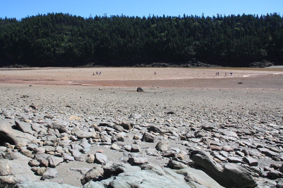
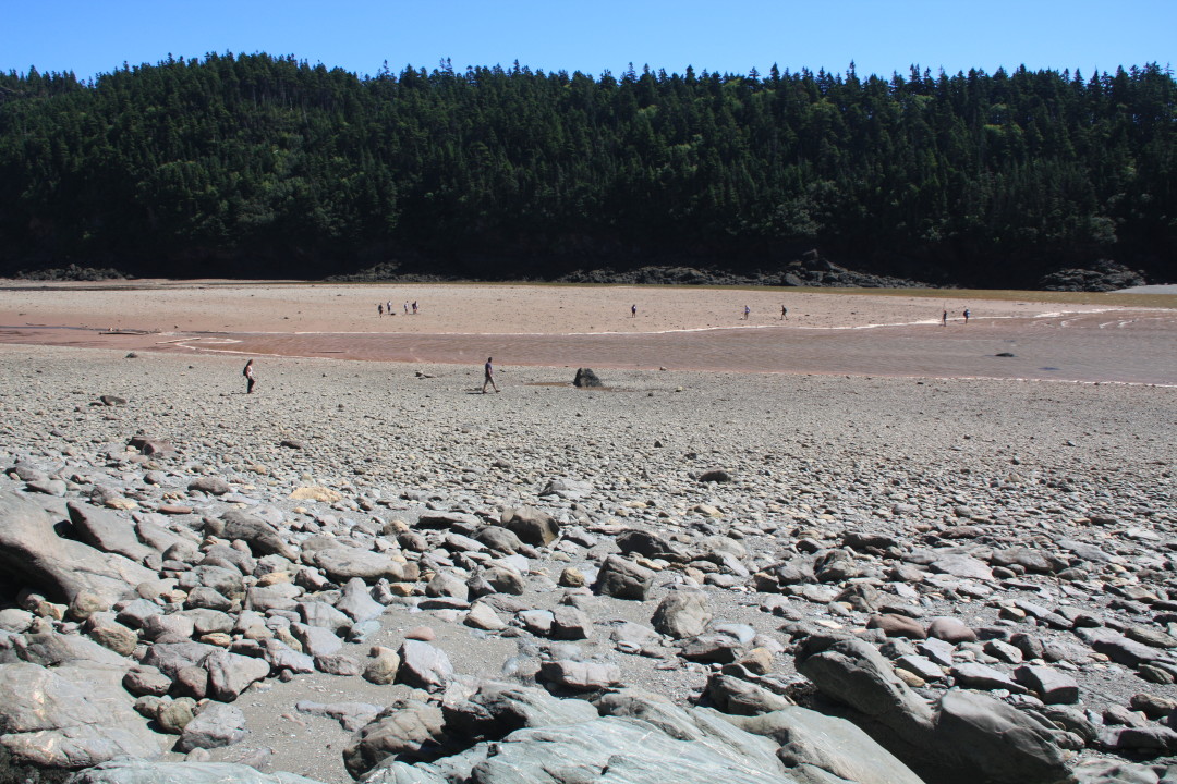
Third Question: What is the main pattern found in the intertidal zone? Answer: The main pattern found in the intertidal zone is zoned layering of different organisms.IMG_3337

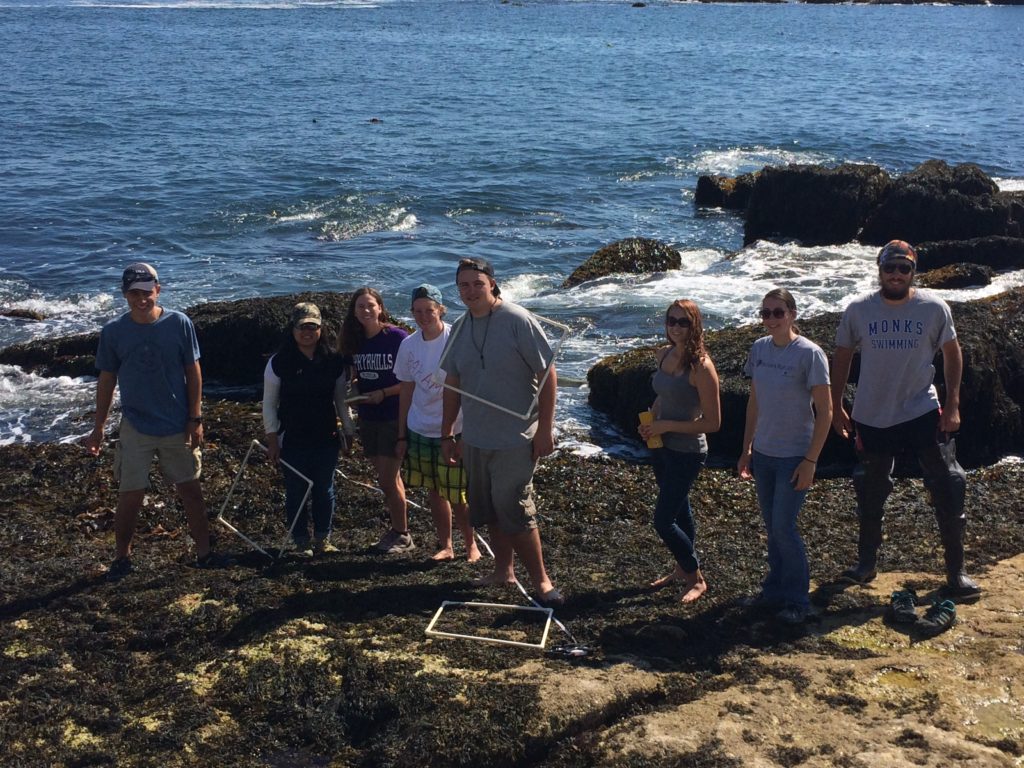
Fourth Question: What causes the zonation in the intertidal zone? Answer: Some of the major factors include: competition, ability to survive despite certain stresses, and predation.

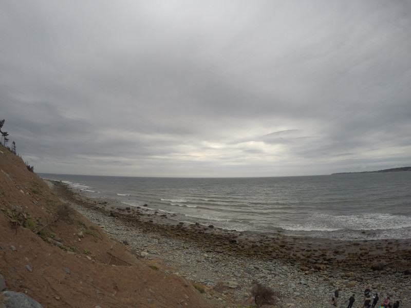
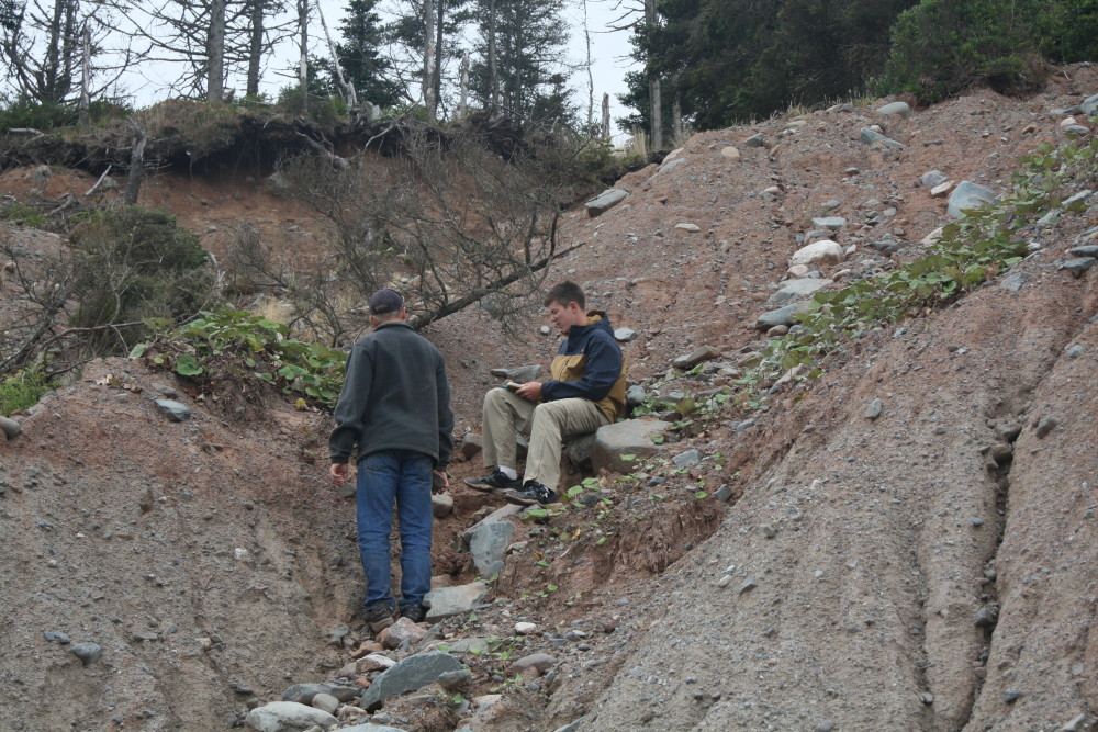
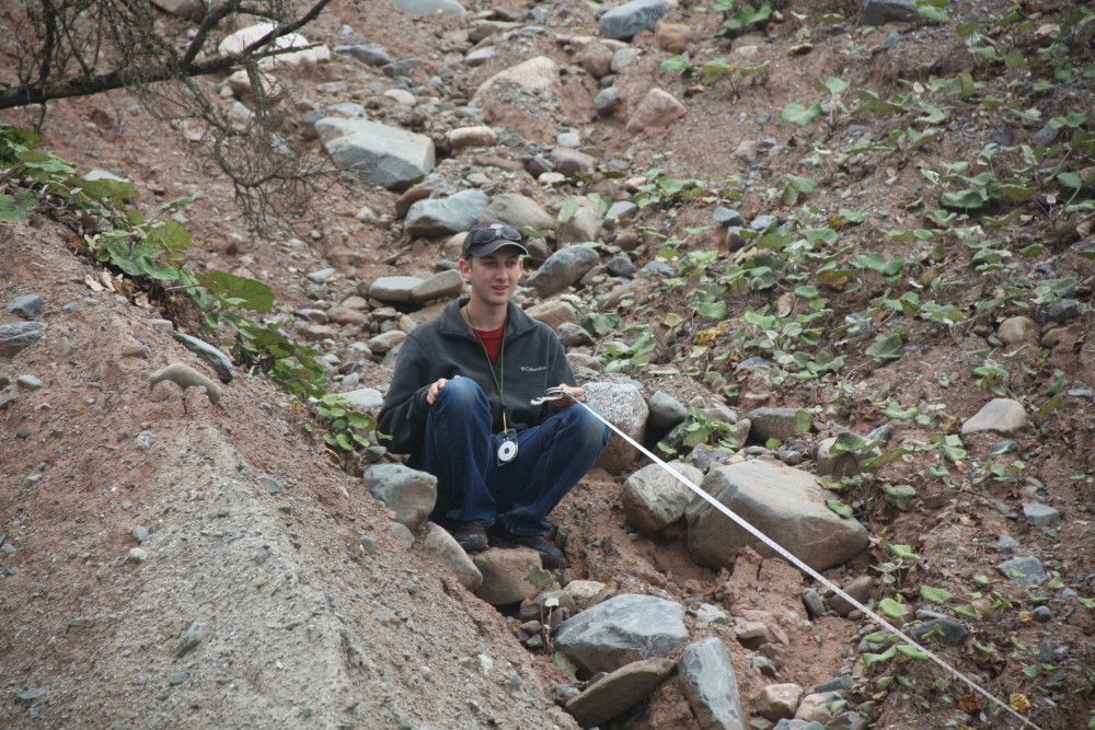
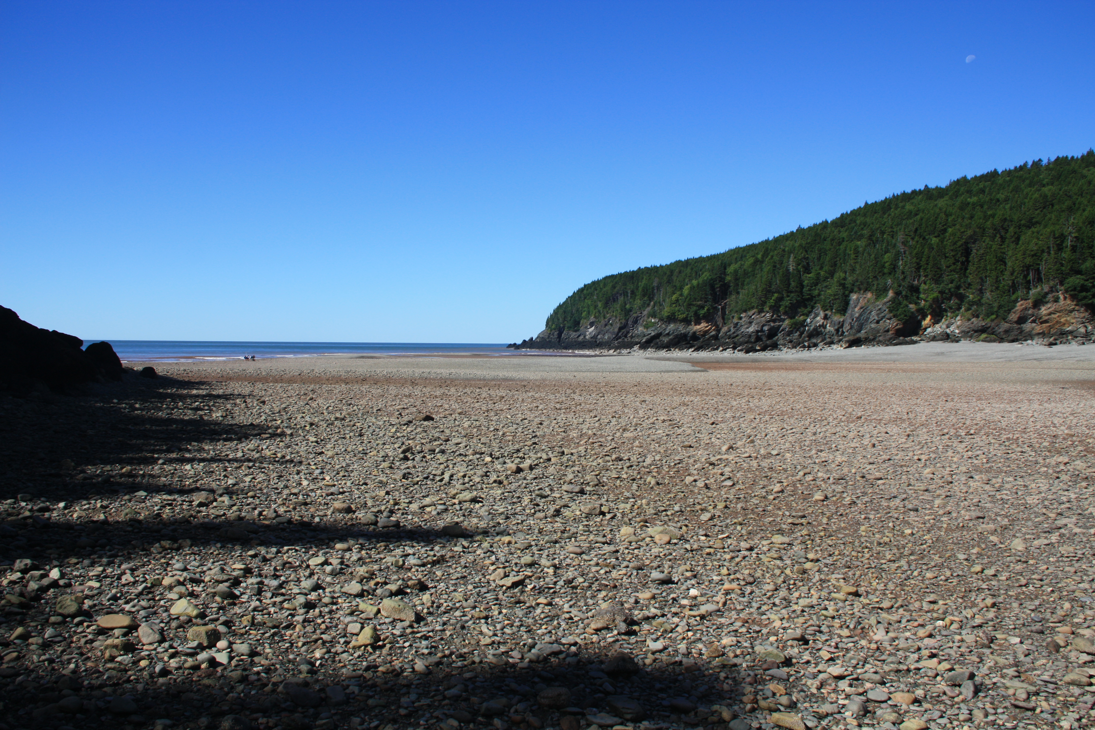
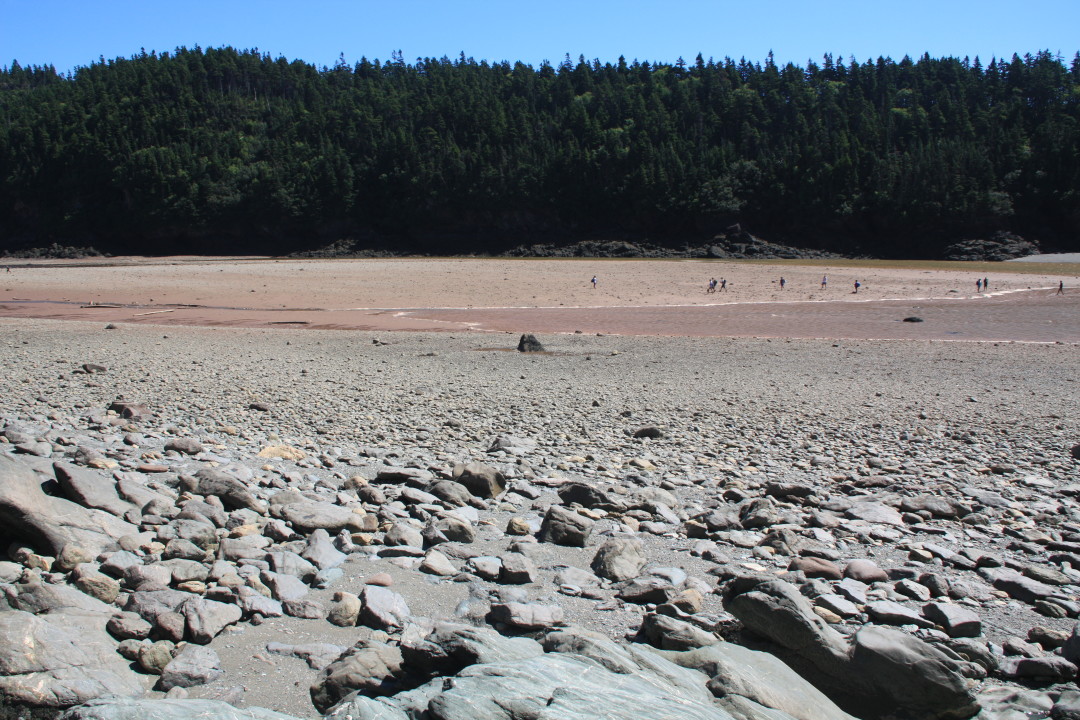
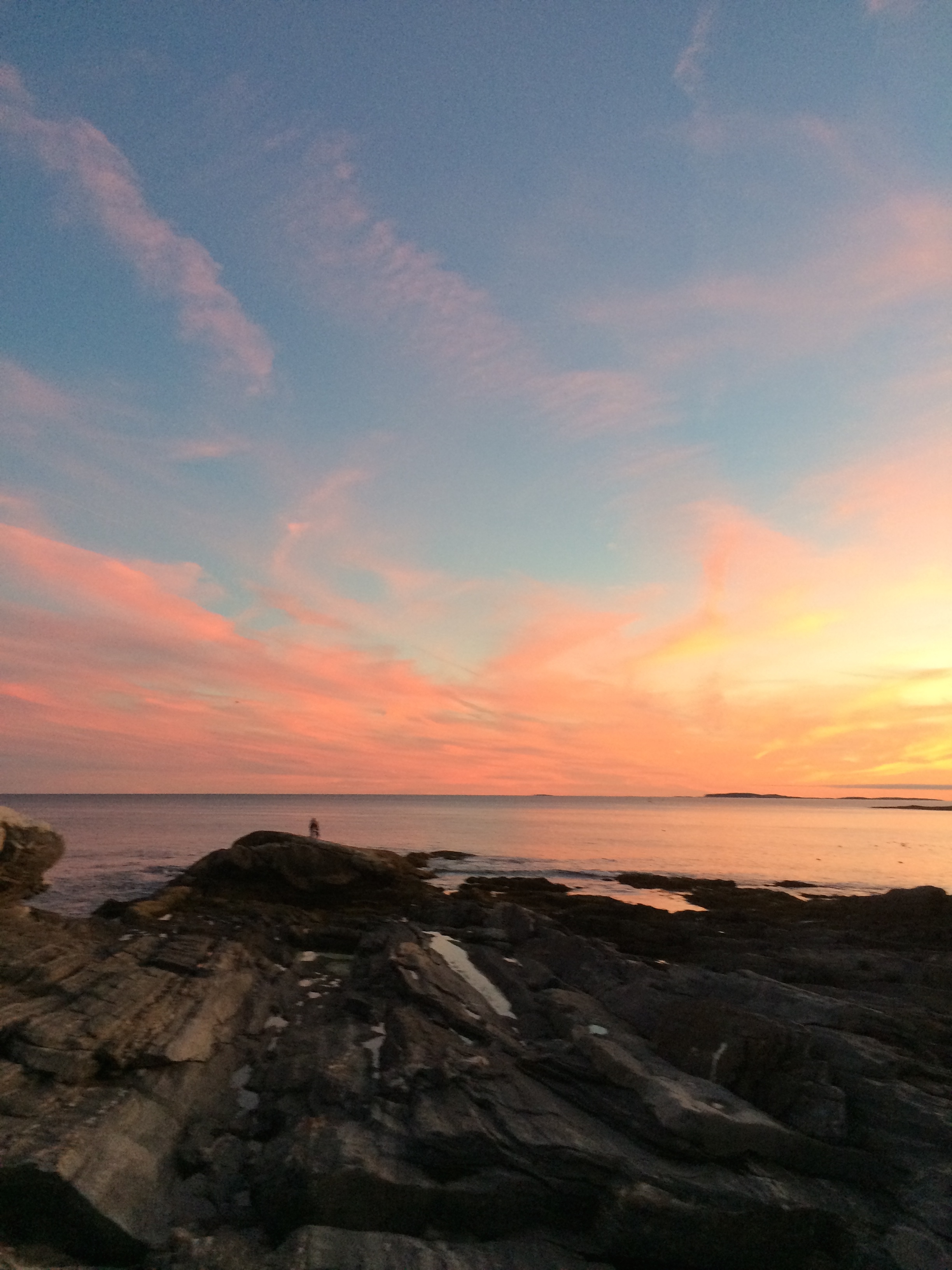
This may sound like absolute craziness to someone who had not spent 3 weeks learning about Marine Ecology during the ESS. Though next time you go to a rocky beach or salt marsh at low tide I would like to challenge you to look for something we have now learned to see. There will be layers of different types of organisms (plants for salt marshes,seaweed and barnacles at the rocky coast). Some will be closer to the water, some will live farther away from the water, and scientists have spent countless hours figuring out the reasons.

In the rocky intertidal zone organisms prefer to spend more time in the water and avoid desiccation. The organisms closer to the water at low tide spend more time under the water and are better competitors meaning they are able to beat out other organisms that would want to live there. Why don’t those organisms control the entire zone? This is because they are not able to survive the exposure (a stress) out of water that the organisms above them can. So in summary, what causes this “zonation?” First: competition for more time spent in the water. Second: ability to deal with exposure out of the water.

DCIM100GOPRO
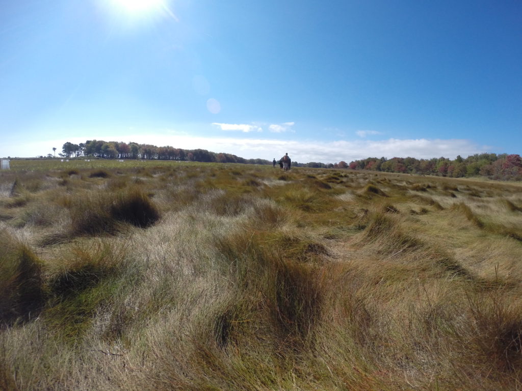
With salt marshes this pattern of competition and stress is in the opposite order. Organisms that live further away from the water are the stronger competitors. The salt is in this case the stress and is harmful to the plants, some of which have adapted ways such as pulling the salt from their roots up through their stem and out the leaves.

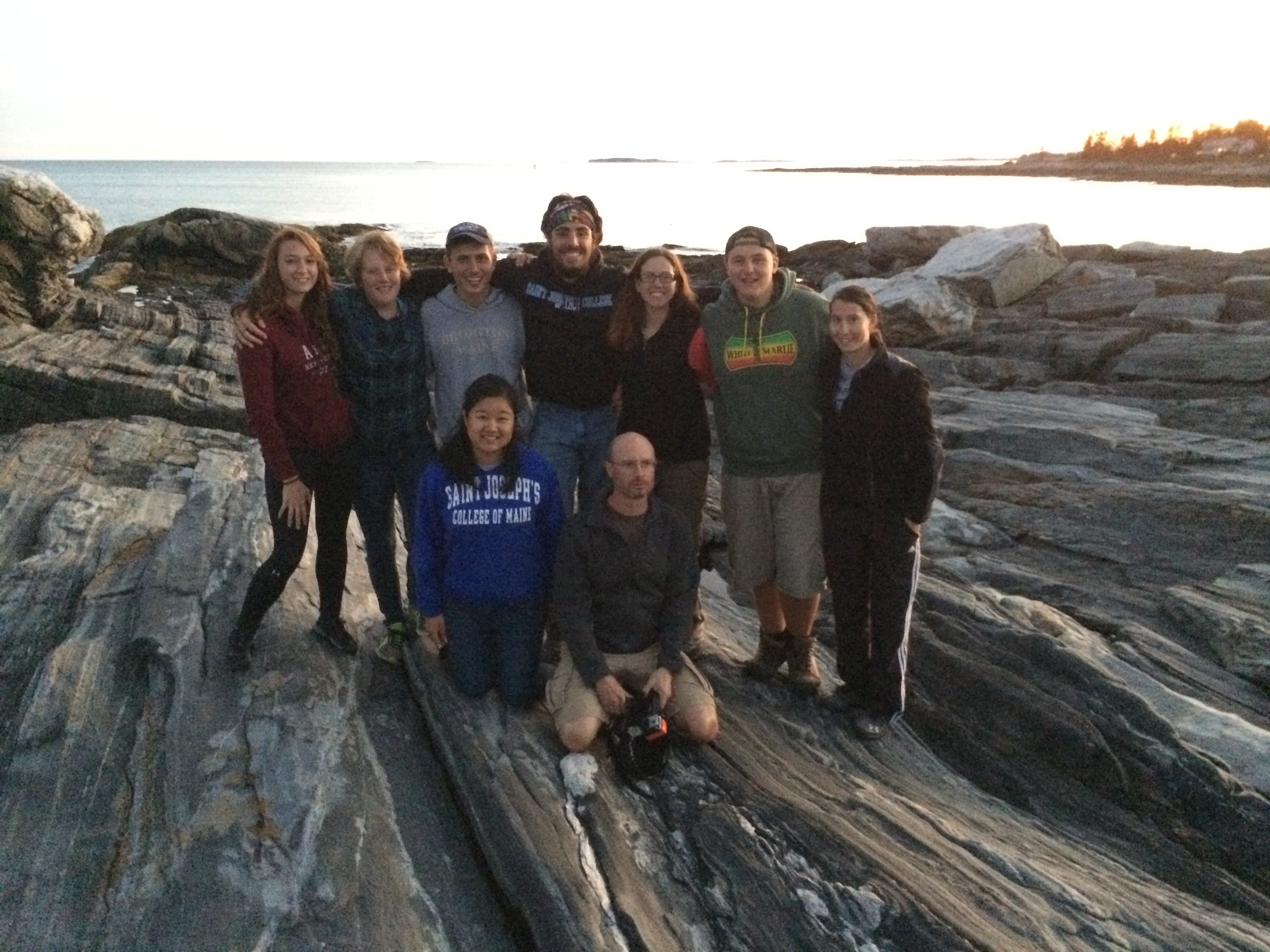
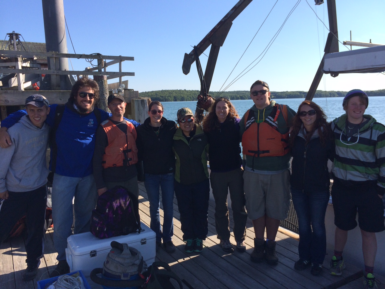
But this is for only 2 places out of the many of places we have visited and because of that there are countless structures. For our friends and family out there you may understand why we can never look at these areas the same way again. For that new-found understanding we thank the boundless knowledge banks both Dr. Teegarden and Dr. Erikson have shared with us.

Matt Pfannenstiel

Visiting a Maine Icon

When Dr. Johan Erikson and I (mostly Johan) planned out the Environmental Science Semester, one of our goals was to incorporate what I’ve been calling “collateral learning”. One form would be experiences that did not seem to have a direct academic content purpose, but nevertheless created an impression, or formed a memory, that both enriched the student experience and perhaps looped back to things they have learned or will learn.  With this in mind we made a side journey to the iconic Pemaquid Point Lighthouse.

The simple, elegant lighthouse and keeper's house.
The simple, elegant lighthouse and keeper’s house.

True confession time – this is the region where the summers of my youth were whiled away in blissful exploration, long before mobile phones and e-mail accounts or social media intruded upon one’s ability to leave the world behind and drink in the experience. It was perhaps naive of me to imagine that our group would be struck with that sense of child-like wonder by a simple hour-long visit. Yet, the enthusiasm with which the students sprang onto the rocks and fanned out to explore, marvel at rock formations, look for critters, or get lost in the sunset gave me  hope that a little bit of wonder would cut through the whirlwind of modern life and settle in our minds.

IMG_2577      IMG_2585

When I told the students that this was one of the most famous, most photographed or depicted lighthouses in the nation, there was some healthy skepticism. After all, it looks so simple and plain, no red stripes, no grandiose house attached. We later confirmed that this is the lighthouse depicted on the Maine state quarter, from the currency series of state quarters. Some were interested in the history, and in the fate of lighthouses in the modern era. No one could fail to take interest in the fantastic rocky point on which the lighthouse is set. When I asked, “What would Johan say if he were here?” there was a great combination of eye rolls and friendly groans, but also smiles and chuckles – one part “Really? Academics again?” and another part appreciation of the life we academics lead, viewing the world with one eye on the wonder and beauty, and the other through the lens of our training and discipline. I think in the end, the students managed to keep their eyes on the wonder and beauty, and that’s just fine for this episode of collateral learning.

IMG_2603

Half way. Location Ocean Point Boothbay, and New Harbor, Maine; Date is September 19th.

Rocky intertidal, Does that sound fun to you? Maybe, maybe not, but to a marine or environmental scientist whoa is that exhilarating. For all the non-scientists out there I’ll first explain what the heck a rocky intertidal zone is; it is the area that is above water at low tide and under water at high tide. Abundant with life this place was stirring, waves crashing and creatures crawling. We arrived at ebb tide to race and get our data collected before the tide came back in. We took distance and inclination for a profile of the zone, and analyzed the flora and fauna, counting each and recording everything we could see.


After furiously typing away at our keyboards for the third paper in three days we were in for a real treat. Low tide was at 2:30pm. With our brains exhausted, our professor Dr. Teegarden decided to take us for an electrifying escapade. A scientist’s playground, a quarter acre tidal pool flourishing with life! This was the Rachel Carson Salt Pond preserve in New Harbor. After spending all day on our computers, getting out and just playing with what we’ve been learning about was great. Then for an extra special treat we were treated to a feast of lobster, clams, and steak galore. The best cure for our paper writing frustration. All in all, I’d say today has been a pretty great day.


Abundant with life this place was really stirring,

We arrived at neap tide this place was wild,

Waves a-crashin, creatures a-stirrin,

Bare feet be warned, barnacles might bite,

But we weren’t there for just fun the professor said work!

Work we did sir, but not without fun,

A day on the beach can’t be not fun.
Stay golden,

“Till next time”

-Michael Gallagher

Down to the Estuary

We have made it to our 8th destination of this journey! We are currently at the Darling Marine Center in Walpole, Maine. Here we have been thrown into the deep waters of Advance Marine Ecology course at full throttle. Our first objective was to learn about estuaries and to find what sort of patterns we could find. Rather than picking up a textbook and just assuming the material given to us was true, we went out and gathered data ourselves.

The Darling Marine Center is right along the Damariscotta River, which is one of many estuaries along the coast of Maine. As soon as we filled our bellies with fruit and omelets, we took the quick walk down to the dock where Captain Robbie was waiting for us. Once informed of the safety protocols and what to do in various emergency situations, we took off to the head of the estuary.

To understand just a small piece of an estuary ecosystem, we used a Sea-Bird conductivity temperature depth (CTD) profiler. With this instrument we collected temperature, fluorescence, dissolved oxygen levels, salinity, and much more from just this one ring of machine. Along with the CTD profiler, we used two different nets to catch phytoplankton and zooplankton. These samples were taken from six spots along the Damariscotta River from the head to the mouth of the estuary. By using all of this data we created profiles for the Damariscotta River the fall season. From these profiles we can discern patterns in the forces that shape the distribution and abundance of the organisms.

On this trip we saw porpoises, seals, Bonaparte’s gulls, common loons, and many more! Back at the lab we got to see our strange and intricate shaped phytoplankton and zooplankton. We also got to find some Acartia tonsa which is Dr. Teegarden’s favorite little zooplankton with their beautiful blue “bowties.” Speaking of ties, we all learned how to tie a bowline knot!

I can definitely say we got lucky with another great professor from Saint Joseph’s College of Maine. Not only have we been thrown out to explore natural landscapes, but also to learn how to be effective and efficient workers. As Albert Einstein himself would say, “Learn from yesterday, live for today, hope for tomorrow. The important thing is to not stop questioning.”

– Erin Wright-Little

phytoplankton Erin & CTD photo CTD data  photo 2