Category Archives: Pursuing Science

Just another day at the beach

Popham group on sand flat                Popham dig

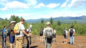
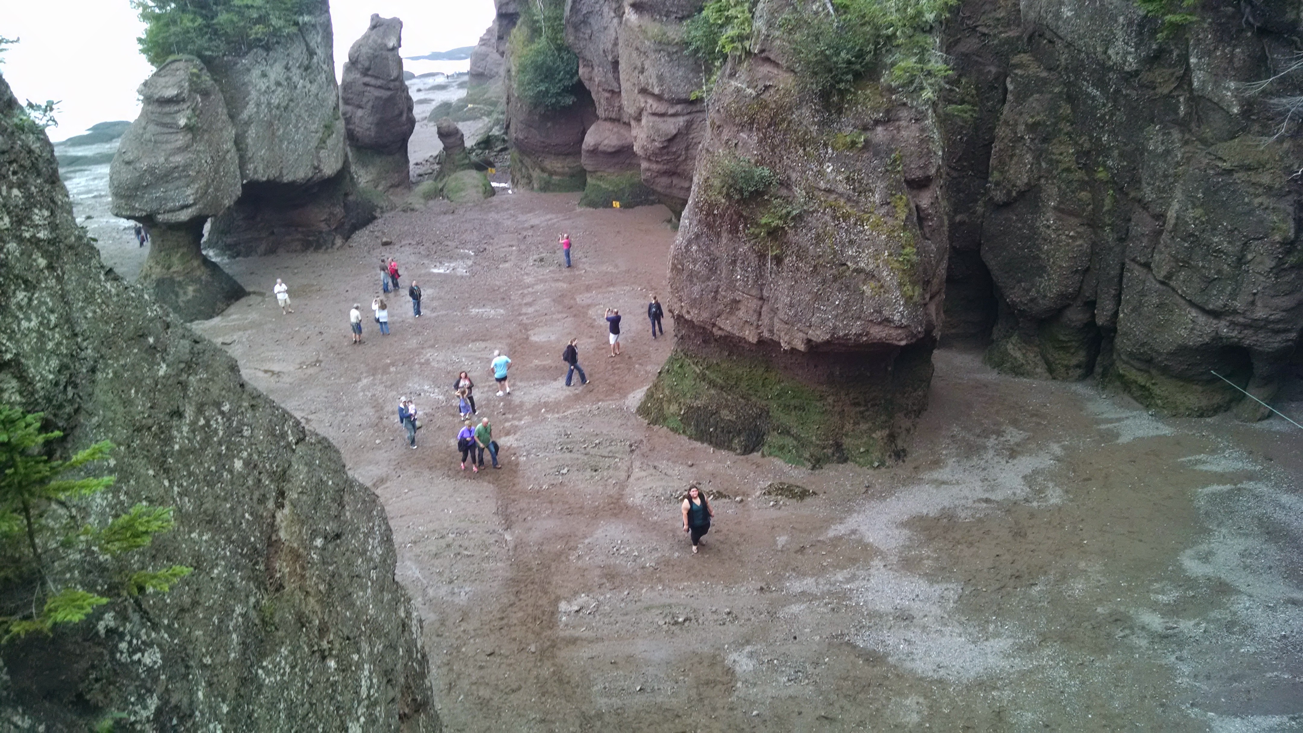
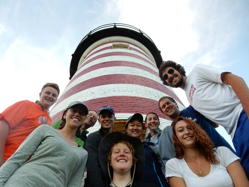
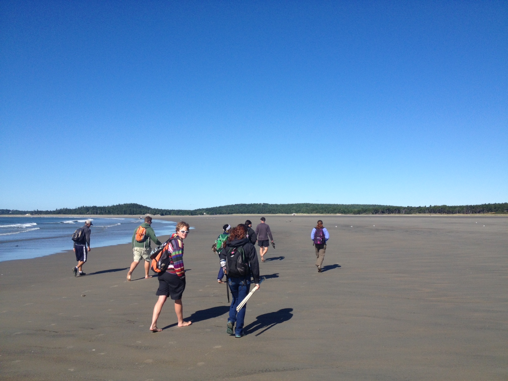
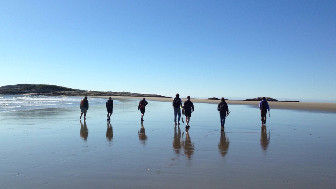
I arrived to relieve Dr. Johan Erikson in our tag-team stewardship of the intrepid ESS student group on Wednesday September 10th, finding a group that was well into relaxation mode, after a full session of geology and sprint to the finish with a paper and final exam.  Nothing like a beautiful day at the beach to recharge the batteries. However…… The ensuing day we were back out to perform a beach profile of the dynamic Popham Beach face. The afternoon was all about waves and tides, and now we all can recognize spilling, plunging, and surging breakers, and relate them to the beach slopes we measured in the morning.

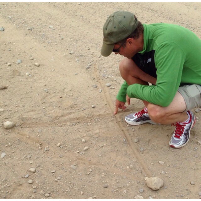
As sure as the sun rises, we are moving back into field exercises and experiential learning. As I stated to the students, my ulterior motive is to ruin them for ever going to a beach and just enjoying the beautiful scenery, letting the mind empty. Rather, I would have their minds be restless, constantly looking at patterns, asking “what processes could have produced that pattern in the sand? Why do the shorebirds only seem to forage at the low tide mark, and what are they eating? How did those air holes form in the upper intertidal?” Then, if I’ve done my job well, they’ll think of an explanation, and ask themselves “How might I test whether my explanation is correct?”

Popham morning work

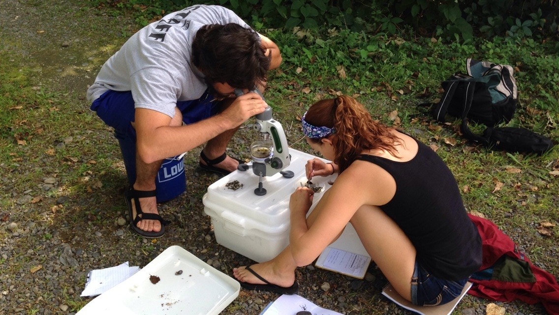
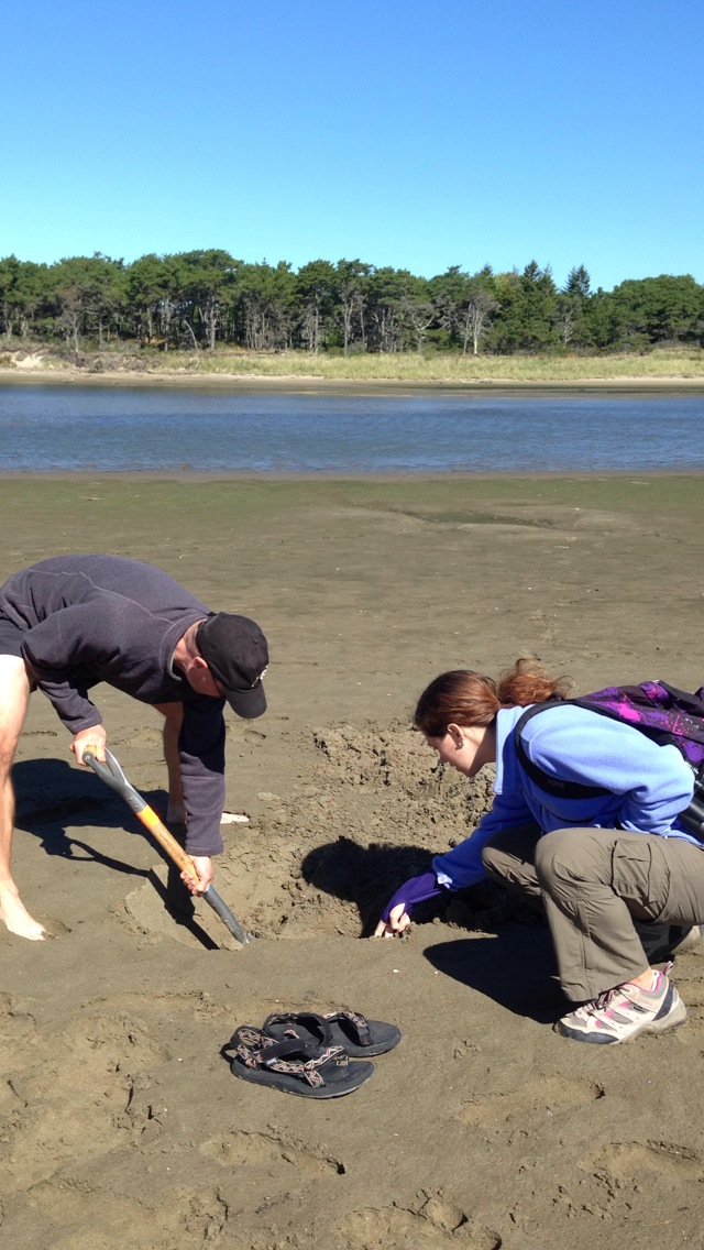
Over the next two days they explored the various nooks and crannies of the sandy beach ecosystem, looked for organisms, and strove to correlate organism distribution with the physical forces that shape the beach ecosystem. That, and a good deal of cooking and eating, enjoying social time, trying to get the measure of the new guy, and transitioning to the ecological perspective. In the first few weeks, they have clearly evolved into a well-oiled machine of meal preparation and community living – most impressive. It’s also wonderful to see the “collateral learning”, such as “bad idea to pour the corn/cream/melted cheese leftovers down the drain when there’s no garbage disposal.” Thankfully there’s no predicament that seems to be beyond Bobby Michaud’s capacity to solve.

Rusty Streams and Clear Lakes in Northern Maine

Some of the most amazing adventures we have had so far happened at Gorman Chairback! Gorman Chairback is an Appalachian Mountain Club (AMC) hut in a township of Northern Maine, near Katahdin Iron Works.  We learned about the effects of iron-mining pollution on local organisms with our guest professor, Dr. Emily Lesher.  We sampled 3 different areas and used special nets to collect microinvertebrates (bugs), before recording how many we found. We also took pH levels of those areas and found out that the area with the most iron pollution had the least amount of organisms living there and the lowest pH values (i.e., more acidic) than the other places.  It was interesting to see that there was more algae in the polluted stream than in the better water, probably because the microinvertebrates that graze on the algae couldn’t survive in the polluted stream. I (Nhu) fell into the stream while wearing waders, which ended up filling with water.  So that was an experience!

IMG_0176             IMG_0197

At Gorman Chairback, we also went canoeing on their incredible lake, as well as paddle-boarding, kayaking, and swimming.  The food there was beyond our expectations.  It was so delicious and great.  They used fresh produce from their gardens that they picked half an hour before dinnertime.  They made their own bread for everyone’s lunches every single day.  Some of the things we got to eat were: beef brisket, chocolate cake with peanut butter frosting, grilled vegetables, raspberry pie, almond pastries, and so much more! They had a sauna, really great (and warm!) showers, and composting toilets.  What was really cool was that they only use solar, propane, and wood as their only sources of energy, since they are 100% off the grid.

Erin and the two of us stayed in our own cabin right on the lake.  It was the best night of sleep yet!  There was a woodstove, two beds, paintings on the walls made by past guests, branches for hooks on the walls, a wash basin with a matching pitcher, windows, and a great view of the lake when you woke up. Both mornings, we awoke to the sound of loons and at night time,  we watched the moon reflected off of the lake like a mirror.  It was so serene.

IMG_0260

On the last day, hours before we left for the White Mountains, the majority of us went out by either a kayak or a canoe to a far off island on the other side of the lake.  Some of us explored the island briefly, and found that it actually had a house on it.  As we were coming back, Dr. Erikson suggested a balancing game in the middle of the lake.  The object was to stand up in your kayak or canoe, without falling into the water. Dr. Erikson went first, and flipped his.  With the help of Bobby, Erin, and Ayla, he was able to empty out the water that had started filling his kayak and get back in.  Next, Bobby attempted doing the same, and was successful in almost standing in the kayak, without flipping it.  Ayla tried it next, and did the best, as she completely stood straight up in her kayak and sat back down, all without getting any water on her.  We all shared some laughs and headed back to pack the van.

IMG_6479

We stopped for ice cream at Gifford’s Ice Cream in Farmington, Maine.  It was so good, because it was a hot day, and we had been all cramped in the van for a while. We were ready to go off to our next destination classroom, the White Mountains of New Hampshire!

– Nhu and Courtney

10 Days in Canada

Gotta love Canada, eh? We had some interesting adventures in our northern neighboring country. We started out our journey in Kouchibouguac National Park in New Brunswick. There, we braved the swarms of man-eating mosquitos, survived a 20 mile bike ride around the park (well, mostly), and made it through the hot sun and waves of the beach. There was one accident on the bike ride…Andrew Merlino somehow managed to kick off on his cruiser a bit too fast, causing it to spin out, scraping up his hands, creating a smiley face of scabs (Dude Gravelstar). Erin, forgetting that there weren’t any hand breaks on the bike, came crashing into him, shouting “Sorry!” as she careened into his back tire. Both sustained minimal injuries, but survived the ride. Nhu wore he super-heated bug armor, protecting her from any bugs who dared to challenge her.

ESS gravelstar

During the nights, those of us who stayed up watched the flawless night sky, awed as numerous shooting stars flew across the sky.

Our next destination was the lovely city of Halifax, Nova Scotia, where we stayed in a great hostel. While there, we visited a beach in the nearby town of Lawrencetown. There, we scaled the loose dirt of a drumlin, measuring the sorting of the sediment and rocks, the strike and dip and trend and plunge of the exposed oblate and prolate rocks, and mapped out the profile of the cliff-face.

One night, the moon appeared, after not having seen it for almost a week! Though we got many strange stares, we managed to snap a picture or two of the lovely light. While in the city, we all got to try poutine…I don’t think my tastebuds will ever be the same after that scrumptious snack! On the last morning, we packed up, and picked up some Tim Horton’s, because how could you go to Canada and not have some Timmy Ho’s while you’re there, eh?

ESS Carboniferous tree

We made our way back to New Brunswick, to Fundy National Park, making a pit stop at Joggins Fossil Cliffs. There, we toured the shoreline with our guide, Dr. Melissa Grey, finding ancient ferns, 300-million year old “trees” (actually club mosses), roots, shells, and even giant centipede tracks! While we were at Fundy, we visited the Hopewell Rocks, amazed by the wave-eroded structures, impossibly standing on their narrow bases.

ESS Hopewell

Sadly, the trip to Canada came to an end far too quickly, though we continue to travel to amazing sights! Who knows what we’ll find next?

~Ayla

Beach Party!!

ESS at Kouchibouguac beach

Our tired group woke this morning to shaking tents at 7:30 a.m. (by Bobby and Dr. Erikson). Breakfast seemed to have a flavour of DEET mixed in because of all the bug spray we put on to deter the swarms of mosquitoes. After that we had a lecture on atmospheric circulation patterns.

Then we went to Kelly’s Beach (here in Kouchibouguac National Park, New Brunswick) just a 2 minute drive away. Except it wasn’t all play and instead much our time was spent measuring the beach profile. We measured the slope of the beach from the crest of the beach berm down about 40 m to the water, and then underwater for another 90 m all the way out to a shallow sand bar. For each part of the profile, we determined variations in sand sizes using a stack of sieves. When we had some down time it was nice to cool off in the ocean (to our surprise a bit warmer than at home) considering how hot the sun was. Unfortuanetly some of us got a bit burnt from the sun’s rays. We had some great finds out at the sand bar, including crabs, hermit crabs, snails (some small and some quite large) and most interesting Andrew caught with his hands an unsuspecting flounder (a strange looking flat fish with both eyes on one side of their head).

Bobby delivered our usual lunch of cold cut sandwiches to the beach, this time treated with oreos. After completing our profile for the afternoon we went back and had a dinner of chili and pasta with cornbread and salad. Dessert was amazing (strawberriy short cake).

Tonight is on our third night of actually camping (10th night total). We’re making it along really well and excited for the many days ahead.

– Matthew Pfannenstiel

Dropstones and Blueberries

Today started off with a delicious breakfast of waffles, with fresh (store bought) blueberries, strawberries, and bananas.  We hit the road in our SJC van around 8:30 am.  We were headed to Cherryfield, Maine, which deceivingly is actually the “Wild Blueberry Capital of the World”. On our way there, we passed the Wyman’s of Maine factory.  Anyone who buys frozen blueberries in Maine knows that Wyman’s is the brand you buy. As we passed the factory, we smelled the scent of blueberries in the air.  We also drove past many of Wyman’s blueberry fields, one of which was getting watered, spraying a little bit of water onto our windshield.  There, we stopped to look at the land, which was actually a flat delta and the highest elevation in that area.  Normally, deltas are not the highest spot in an area, so this was an interesting location.  We looked at the type of glacial sediments on top of the bedrock, which seemed to be mostly sand and gravel.  We also looked at really colorful geology surficial and bedrock maps, learning about ribbed moraines and how they were formed.

Then, we moved onto another location in the area and Dr. Erikson used “conveniently placed” road dirt to teach us about triangulation and how to determine position using it.  He told us that before GPSs were invented, scientists based property lines off of data they got from measuring angles and distance between certain plaques on the ground.

IMG_9355

After that, we drove to a field to look at erratics, which are rocks that are not where they are supposed to be.  There was an entire field of them, all of various sizes, but one literally stood out to all of us.

This large erratic was a dropstone, meaning that it once was a part of a glacier, but floated away from the glacier, inside of an iceberg.  As the iceberg melted, the rock fell out and dropped on the submerged delta. This specific rock was about 5 m high and 5 m across. A bunch of people wanted to climb it, and looking at the challenging climb it took them to get up to the top, it was not an easy one to say the least.  All around the boulder were fields and fields of blueberries.  We may have been trespassing, but we are not sure of that. Some of us picked a few of the lowbush blueberries and some of us climbed up on top of the rock.  Some of us did both.  Either way, it was a fun day for all of us.

IMG_9285              IMG_9297

-Nhu Vo


Bog Brook Cove and Quoddy Head

The gang at the iconic light house at Quoddy Head State Park. The most eastern point in the United States.


Just doing a little rock climbing. From the left: Andrew M., Nhu V., Ayla R., Matt P., and Alana D.

On Wednesday afternoon, after being literally distracted by “Wild Blueberry Land“, we arrived at the trail head for our 2-3 mile stroll along the Norse Pond Trail. We arrived at one of my favorite classrooms of the day (of the trip for that matter) – Bog Brook Cove. The trail led out to a beautiful cobble stone beach with lapping waves. Prior to class, the group broke off in various directions to explore. Some of us went swimming while others searched for rocks with intricate designs and patterns. It could not have been a nicer day for the beach: the sun was shining, the breeze was blowing, and our minds were wandering. When Dr. Erikson reeled us back in, we sat down for a lesson. We learned about nonconformities in rocks, remnants of glaciers, and how sea level affects the topography of an area. Things such as drop stones, marine clay, the size and location of cobbles, and different layers of sediment. We later finished the day with an exhilarating trip to Quoddy Head State Park – the eastern-most point in the United States. After a few group photos, the majority of the group took off over the fence and scaled the cliffs. Fun fact: In 5 days we’ve eaten 12 loaves of bread, 7 lbs cheese, 10 lbs of deli meats, and 55 ounces of pretzels.

-Alana Dougherty