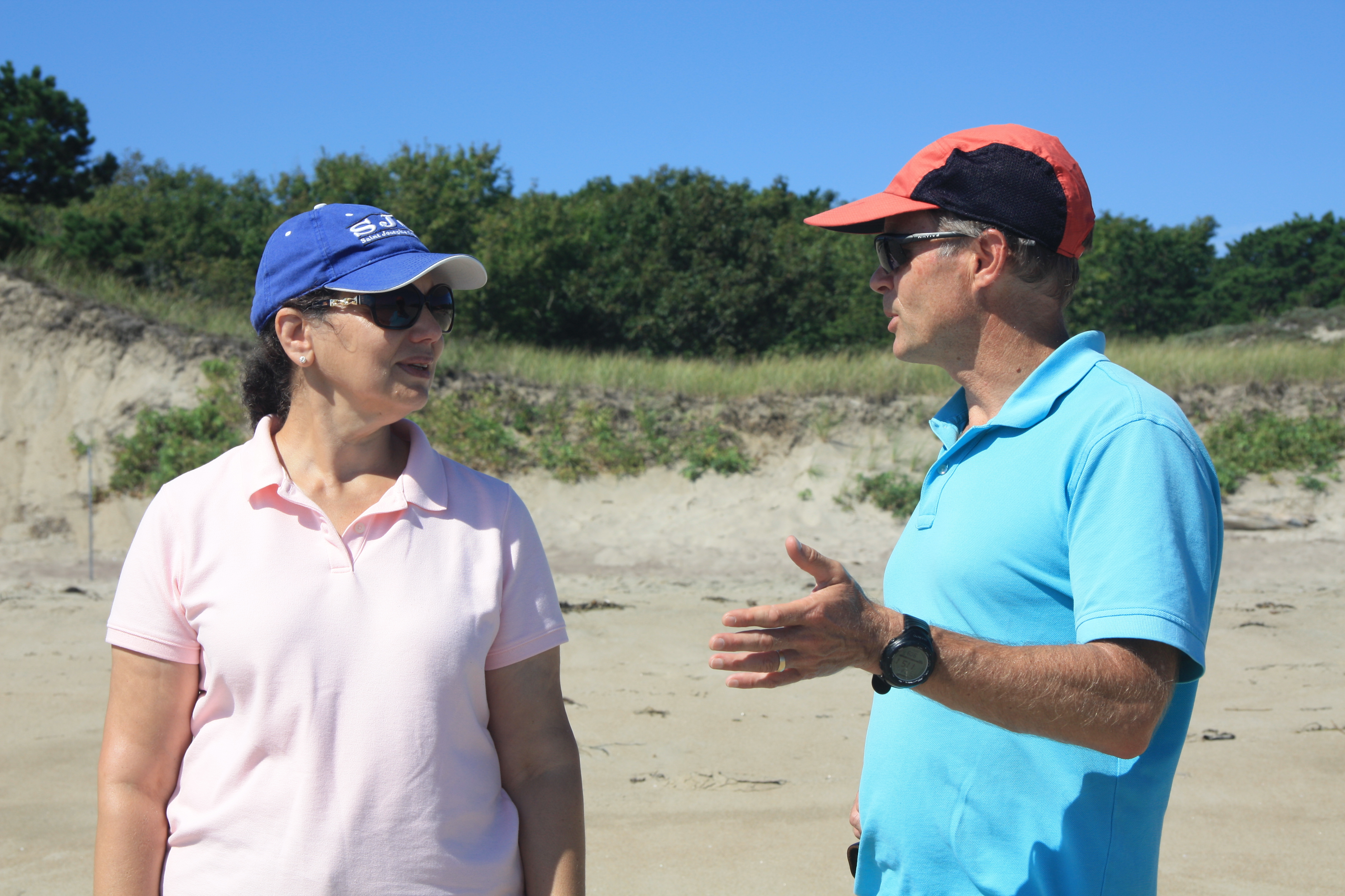
After finishing up Glacial Geology and Climate Change in New Hampshire, we headed to Popham Beach in Phippsburg, Maine. Our first day in Popham was a beautiful 80 degree day with clear sunny skies! We headed to the beach front for fieldwork and some relaxation, and Dean Ireland joined us for the ESS experience.
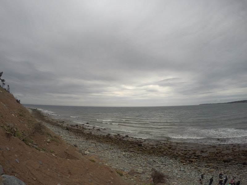
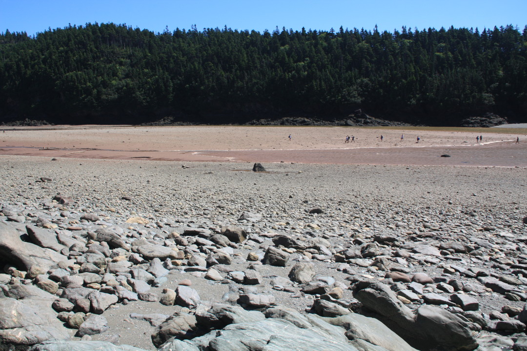
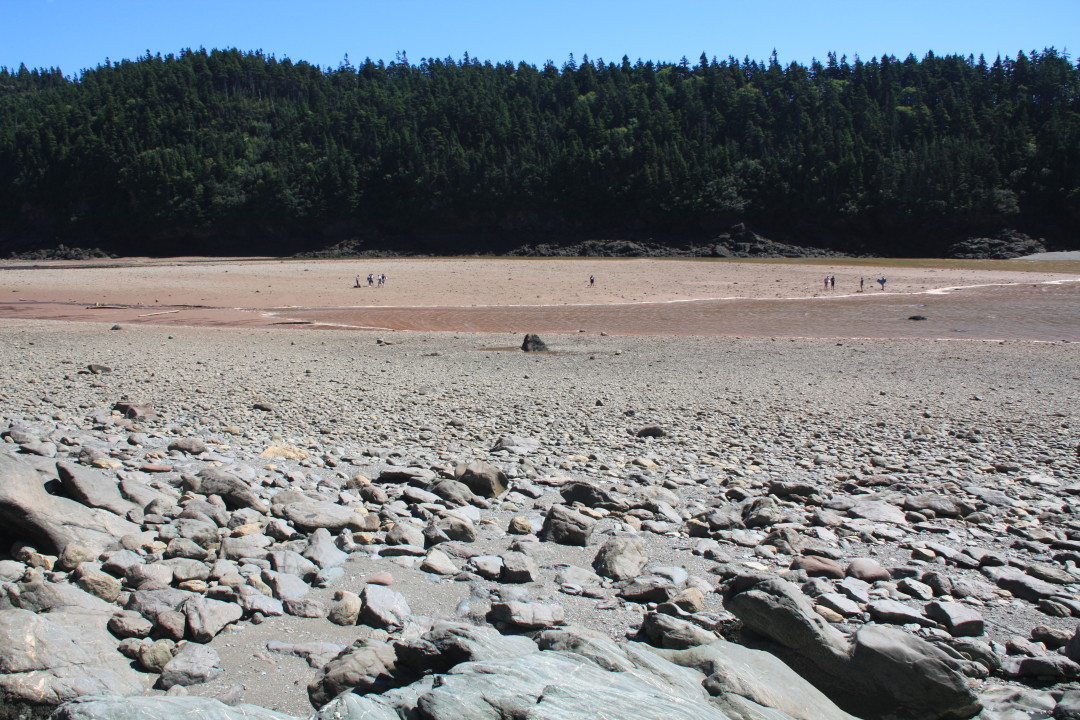
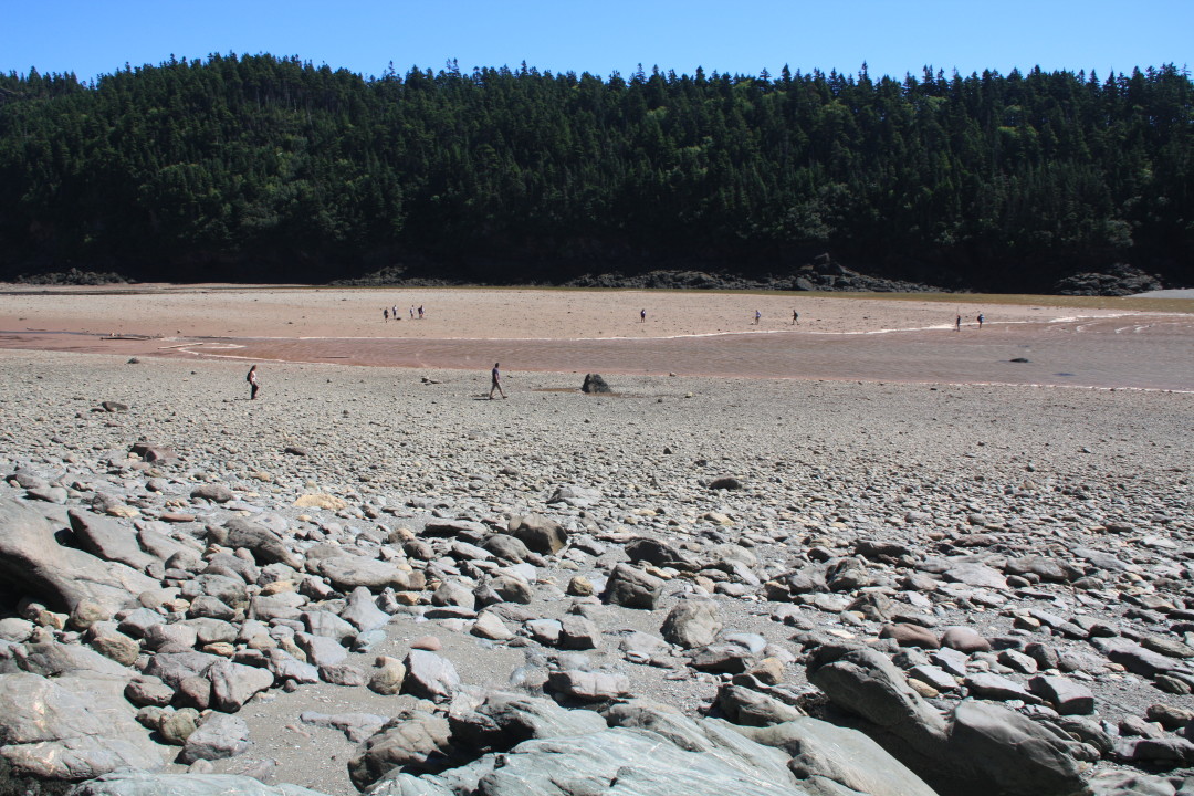
Our fieldwork consisted of creating a beach cross-section profile. We measured the changing slope from the low tide line to the back dunes, and measured the grain size distribution of the sand. This information is essential in understanding the dynamics of this ecosystem, and will be used in part when understanding what organisms occur where.
After our fieldwork was complete, we were able to have some free time. In our free time many of us went swimming in the ocean and rode the huge waves. Some of us stayed in the water for over 40 minutes riding the waves or body surfing, while other got out to play some Frisbee on the beach. We also wandered over to Fox Island, which is only an island at high tide. We all climbed up on the rocks to get a 360-degree view of Popham Beach and to see a distant lighthouse. We quickly had to leave though, as the tide was coming in and the sand bar connecting to Fox island was quickly disappearing.
Later that evening, Dr. Erikson said his goodbyes for now as he goes back to campus to teach. In a few short weeks we will be reunited yet again, but for now we will be learning marine ecology with Dr. Teegarden. We look forward to having class on a beautiful beach with a great professor!
It’s time for me to write a post, since the students are immersed in writing a paper and preparing for a final in Climate Change and Glacial Geology. Yes, it is very early September and they are faced with a paper and a final. We’ve been on the road for over 3.5 weeks, which puts us 1/3rd of the way through the ESS. Quite soon, we will finish here (Crawford Notch in the White Mountains of New Hampshire) and head to Popham Beach, where Prof. Greg Teegarden will start leading the students though Marine Ecology. But before we wrap up here, let me point out some highlights.
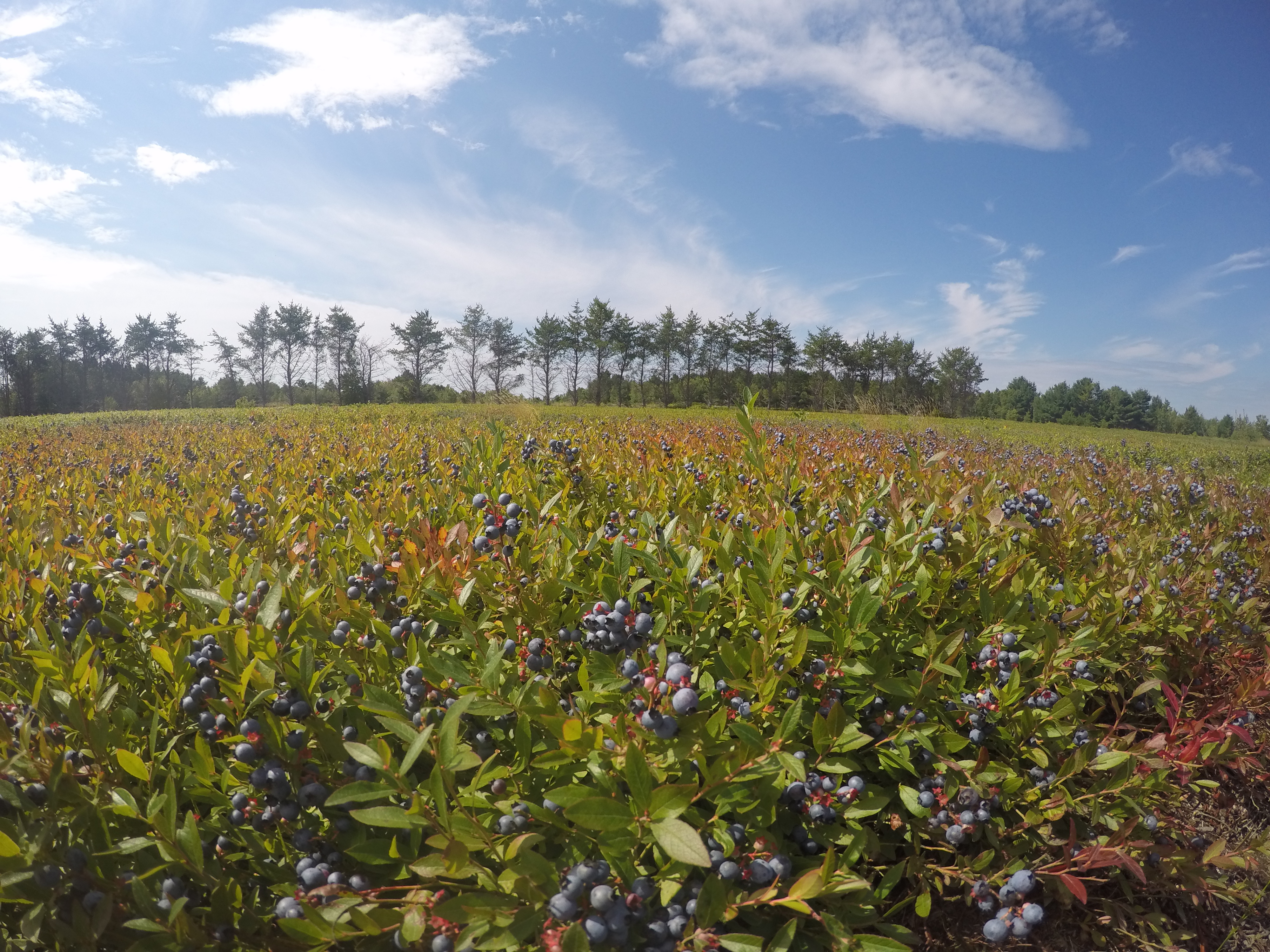
Blueberry fields near Cherryfield, Maine grow on deltas that accumulated in a frigid sea when relative sea level was briefly 60 m higher than today about 15,000 years ago as glaciers receded. Joe O’Reilly joined me and Andrew atop an enormous boulder carried to this site by icebergs.
DCIM100GOPROGOPR0246.
West Quoddy Head lighthouse is the easternmost point in the US. Everyone seemed amused thinking that there were 320 million Americans to the west of us, and zero to the east!
It’s hard to appreciate just how fast the tide can come in. At Fundy National Park in New Brunswick, we studied the 1 km long Point Wolfe inlet. We were in the flat, middle part of the section when the tide caught up with us. The water was creeping over the land nearly at walking speed. Stand still to take a measurement, and the water would rise above our ankles. Crossing the “little” intertidal stream on the incoming tide got Emma Mills ’19 in water up to her chest.
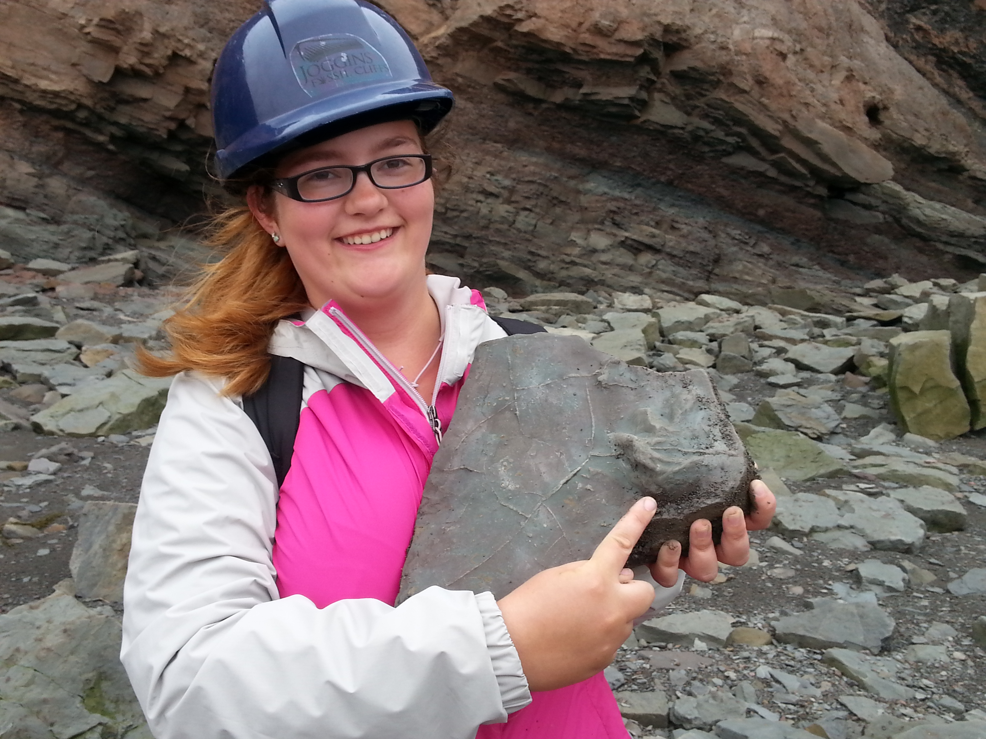
At Joggins Fossil Cliffs in Nova Scotia (a UNESCO World Heritage Site), we walked along beach cliffs (at low tide!) for about 5 km and through about 5 million years of ancient, really ancient history. These rocks have yielded the oldest reptile fossil in the world at about 310 million years (forgive me if my memory is off by a few million). We were there to look at how climatic and environmental conditions can be reconstructed; these rocks accumulated in a tropical swamp with nearby mountains generating a rich supply of river sediment. Danielle Martin ’19 found a block with fossilized mud cracks and the toe/claw imprints of a crocodile-sized amphibian; this block was so special the guides added it to the permanent collection in the site’s museum.
In Halifax, the city’s signature historical feature, the Citadel, is built atop a drumlin. The drumlin was formed by glacial ice moving and molding sand and gravel debris into an oval mound. Several of us enjoyed a nice hour of Frisbee tossing on this late Ice Age feature.
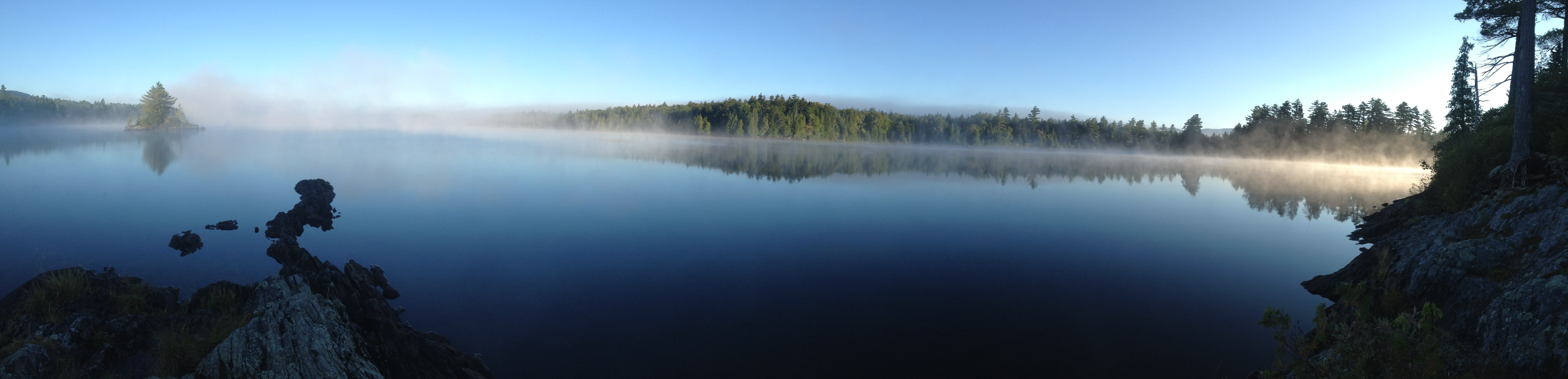
The moonless night sky in the northwoods east of Greenville was absolutely beautiful. Sorry, no nighttime photos, but I’ll include a morning photo. And nighttime photos wouldn’t do it justice anyways. The sky (as viewed from boats on the still lake) had so many stars that it felt four-dimensional – I felt the immensity of it as we looked deeper into space to more distant and fainter stars. Some students saw the Milky Way for the first time in their lives. Defintely a highlight.
Prof. Emily Lesher led us through an investigation of the chemistry and landscape associated with acid mine drainage. Strictly speaking, this material was part of the Field Methods course, but by now the students are used to switching back and forth between different course content. Personally, I really enjoyed seeing students engage with new material and another professor. Many of them will be in Prof. Lesher’s Environmental Chemistry class in the spring, when this real-world example will surely come up.
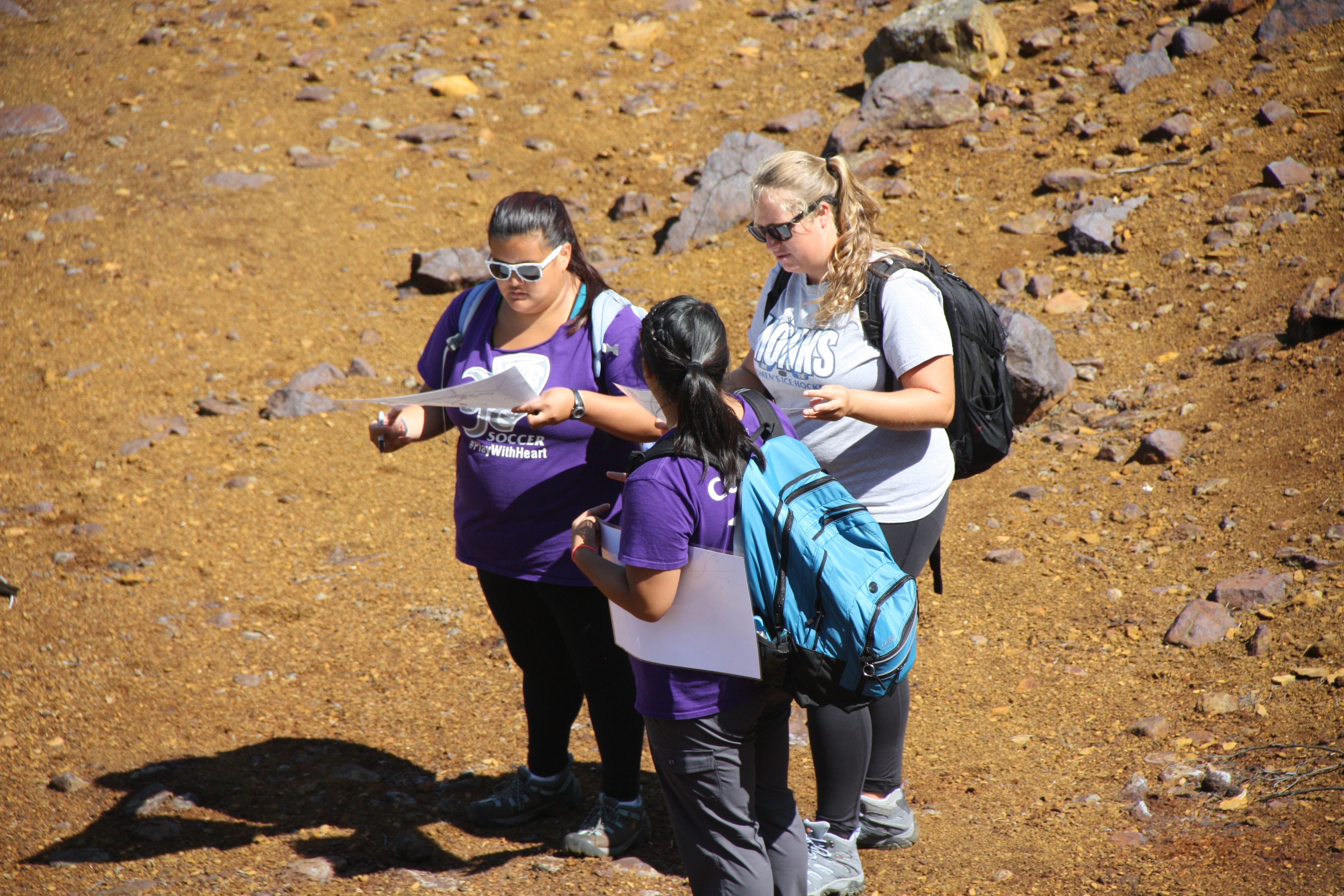
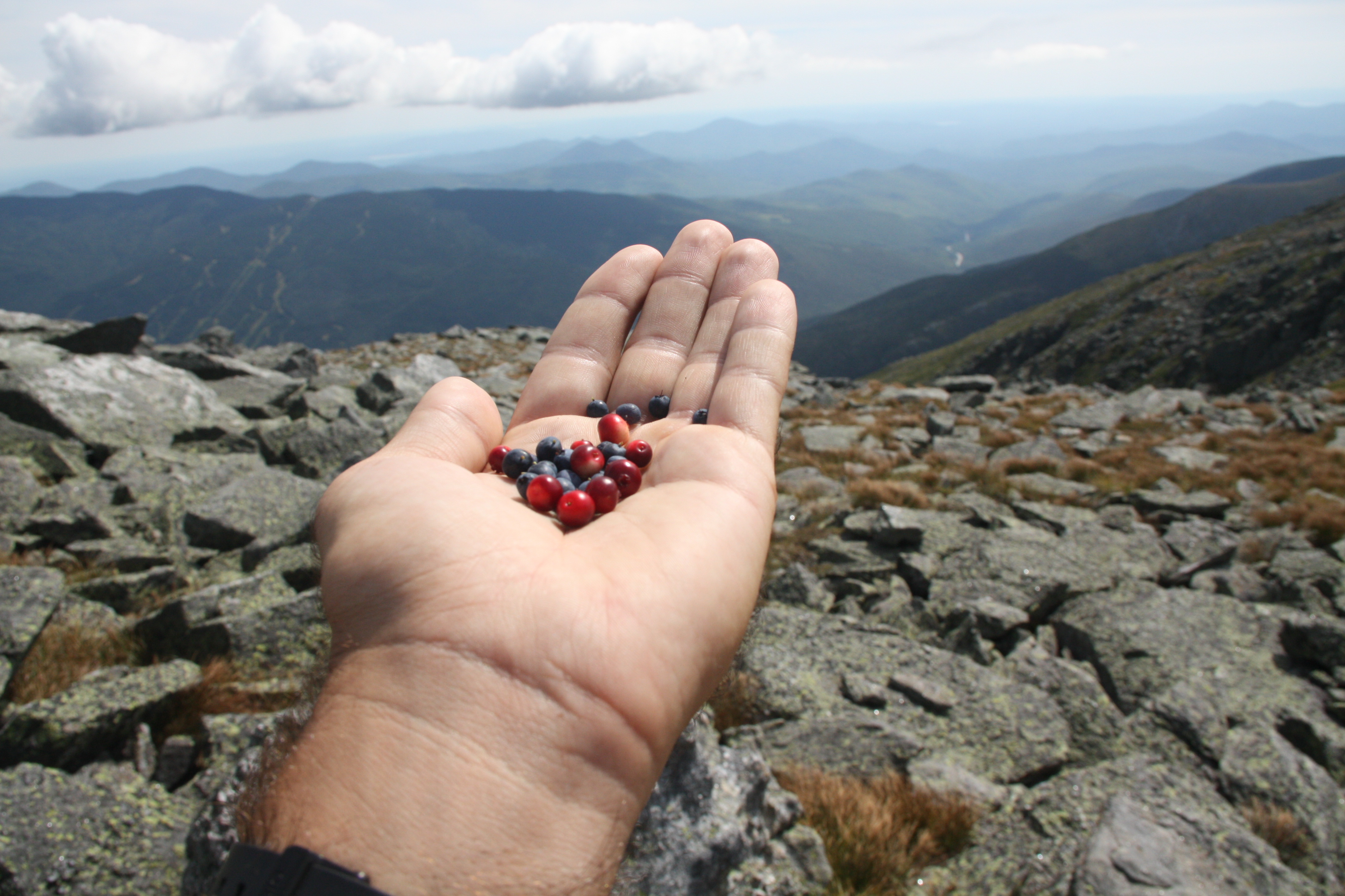
We drove up Mount Washington yesterday in order to get a view of several cirques created by alpine glaciers, most notably Tuckerman’s Ravine, Huntington’s Ravine, and the Great Gulf. A short walk to the lip of Huntington’s headwall led to more than one reassessment of what “steep” looks like. While there in the Alpine Garden, we enjoyed a late summer snack of wild blueberries and mountain cranberries. Some of us, including Jess Selva ’17 and Tyler Allen ’18, hiked over 4000 vertical feet from Mount Washington’s summit down over the headwall of Tuckerman’s Ravine and out to Pinkham Notch; legs were a bit stiff today!
We’ve endured just over 2000 miles of driving so far. It’s a really long way from Portland to Halifax. Fortunately, the longest distance to be covered in the remaining 6 weeks will be done on a schooner!
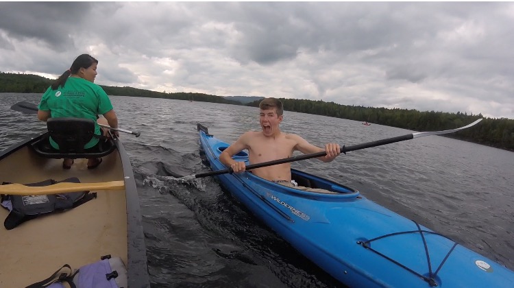
For the past 3 days, we have been at the Appalachian Mountain Club’s Gorman Chairback Lodge in Greenville, ME. After a long drive from Halifax finishing with dirt roads, we finally arrived at this cute little lodge. After moving our things into our bunkhouse, we were allowed some down time until dinner. Gorman Chairback is right on Long Pond and it’s about a mile and a half from one end to the other. In no time at all we were out on kayaks, canoes, and paddleboards. It was a beautiful, calm day and the water was just the right temperature as we explored the full length of the lake.
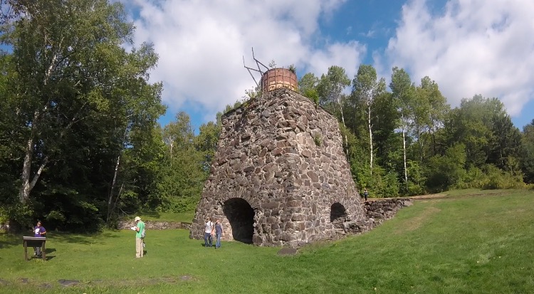
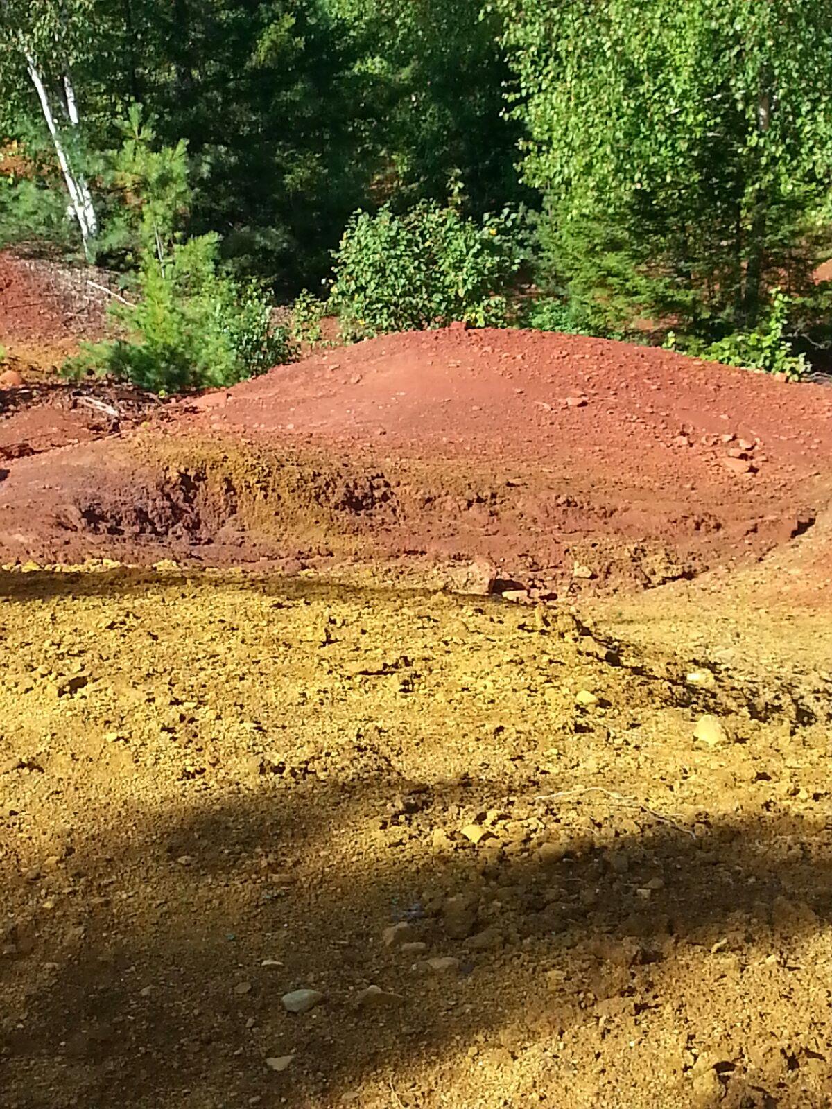
Dr. Emily Lesher and her family joined us for a few days to teach us about the nearby Katahdin Iron Works and the iron oxide deposits that fed it. First we visited the original smelting furnace and the one remaining charcoal kiln that have been there since the 1890’s. Prof. Lesher told us about how pig iron was made from limestone, charcoal, and ore. As the workers removed the surface layer of iron oxide ore from the nearby surface deposits, fresh iron sulfide was exposed. From more than a century of exposure to rain and air, the acidic runoff is getting into nearby streams and rivers at lower elevations and iron oxide is coating the soil. We took soil samples from different kill zones, tested pH levels, and tested acidity levels to see how the acidic drainage was affecting the waterways. Since this past season has been so dry though, the water levels have decreased and the amount of runoff into the waterways has also decreased, leaving the pH levels high (nearly neutral) and the acidity levels low.
That night we went back out onto the lake just as it was getting dark so we would be able to star gaze on a clear night. Most of us were in kayaks and we ended up staying out for almost two hours. We could see the Big Dipper, the North Star, Mars, the Milky Way Galaxy, satellites, and shooting stars. Never have we seen such a clear sky at night – the Milky Way was bright all the way down to the horizon. Yay for no light pollution! Soon it began to get cold and even darker so thankfully we all had our headlamps to get back to shore.
It’s now late August, and most students are moving into their dorms on campus but not us. We are in Halifax and have just completed our first mid-term exam with a final exam for ES210 Climate Change and Glacial Geology approaching a mere 10 days away. After the mid-term we were able to get a breath of fresh air and visit the Citadel, a British/Canadian military fort from the 1800’s built on top of a drumlin (a 500 m long oval mound of unconsolidated sediment deposited under the outermost 100 km periphery of a warm-based continental glacier). Soldiers serving here probably never knew they had their elevation advantage due to a glacial deposit.
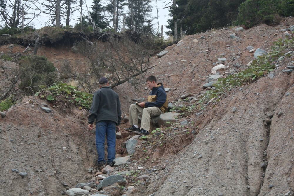
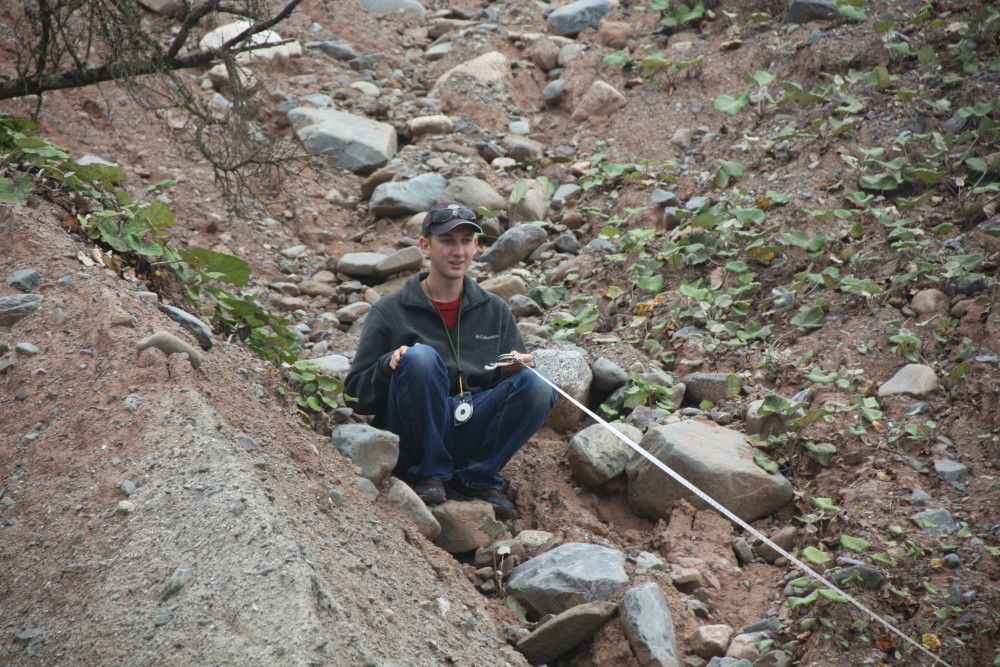
We started the following day driving 40 minutes east through Dartmouth (home of Netflix’s Trailer Park Boys) to Lawrencetown and its well exposed drumlin. We chose this spot because the ocean has eroded away some of the drumlin’s side, exposing about 25 of unsorted sediment. On this steep slope there were two distinct layers that are thought to be approximately 70,000 and 11,000 years old. There was 6.8 meters of grey, massive sand, silt and cobbles and approximately 20 meters of a similar red sediment. Glacial shear causes the long axis of the rocks to point in the direction of flow. Our objective was to measure the orientation (trend and plunge) of elongated pebble- to cobble-size rocks to see if the direction they pointed was different in the grey and red layers. We braved what felt like Mount Everest (a whole 15 meters) with the open ocean directly behind us in order to find elongated rocks. We hypothesized a second (red) drumlin was deposited on top of an older (grey) one, creating the two separate layers. Some of the cobbles we had to dig out……..with the same shovel we previously lost and then found in Fundy. After we took our data we all fell asleep on the ride home, no one moved for the entire 40 minutes. We were incredibly tired from braving treacherous hills, but we had breakfast for dinner to look forward to! After a long day it was time to wind down and type up our lab reports for the day, as a science course without a lab report would not be a real science course.
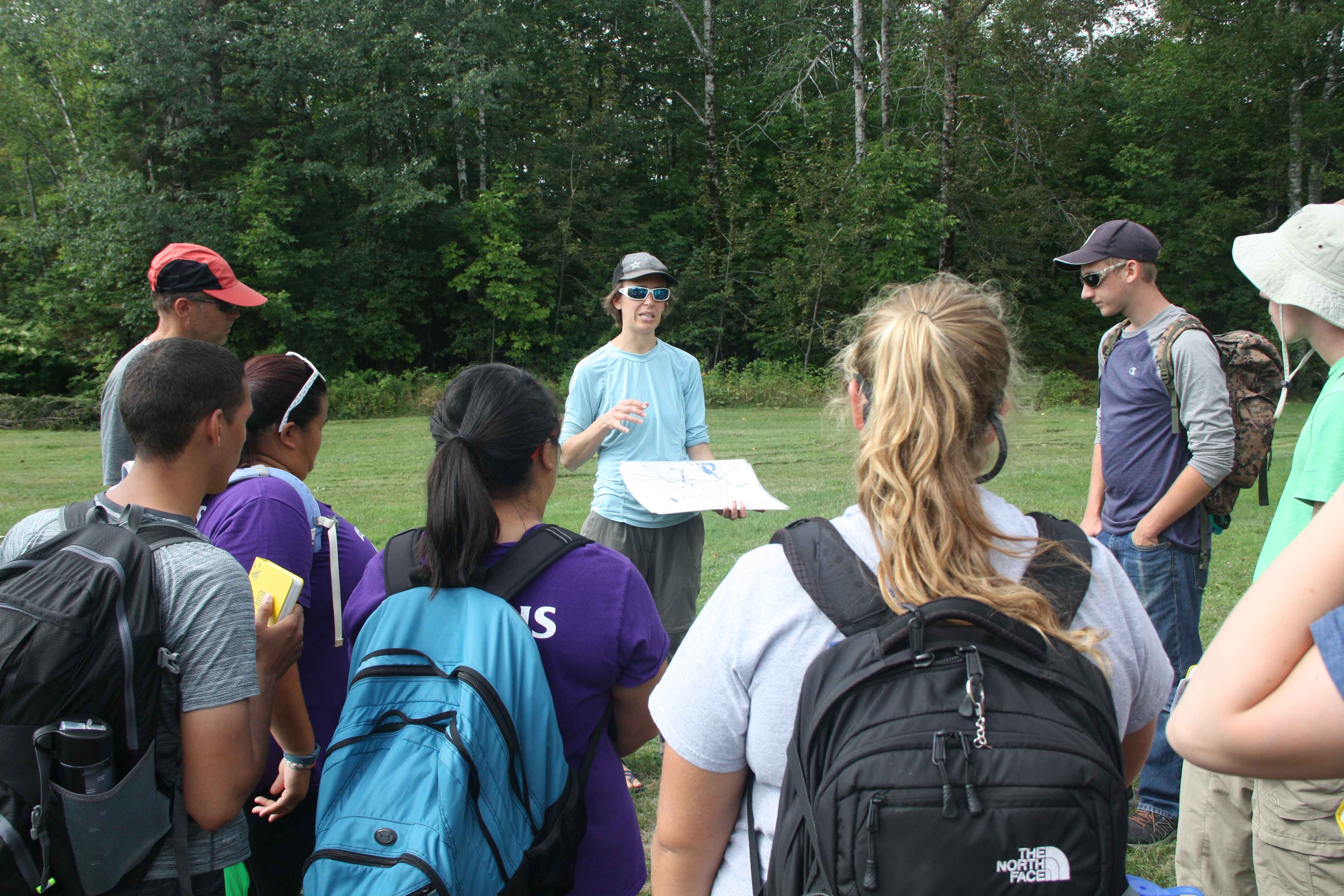
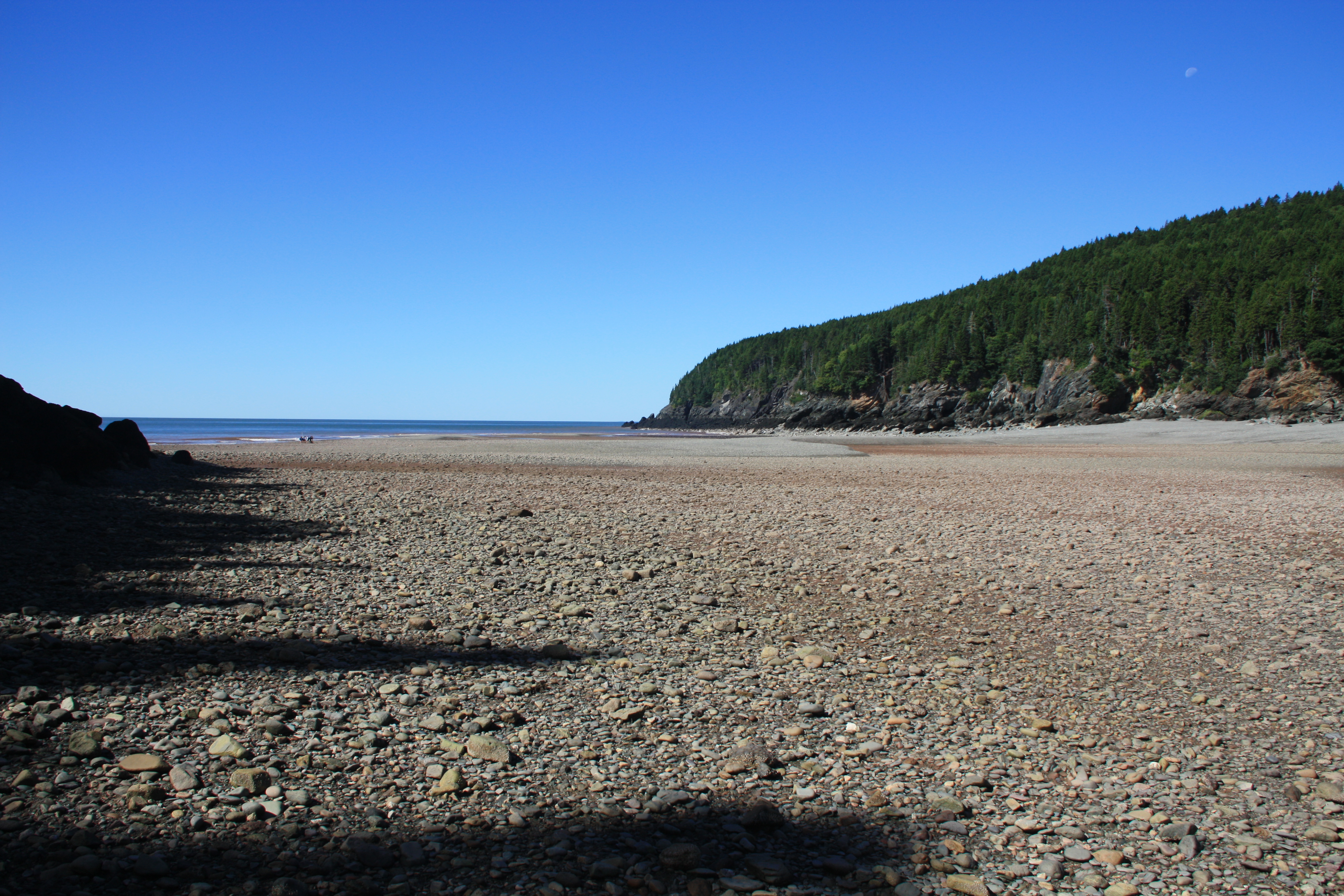
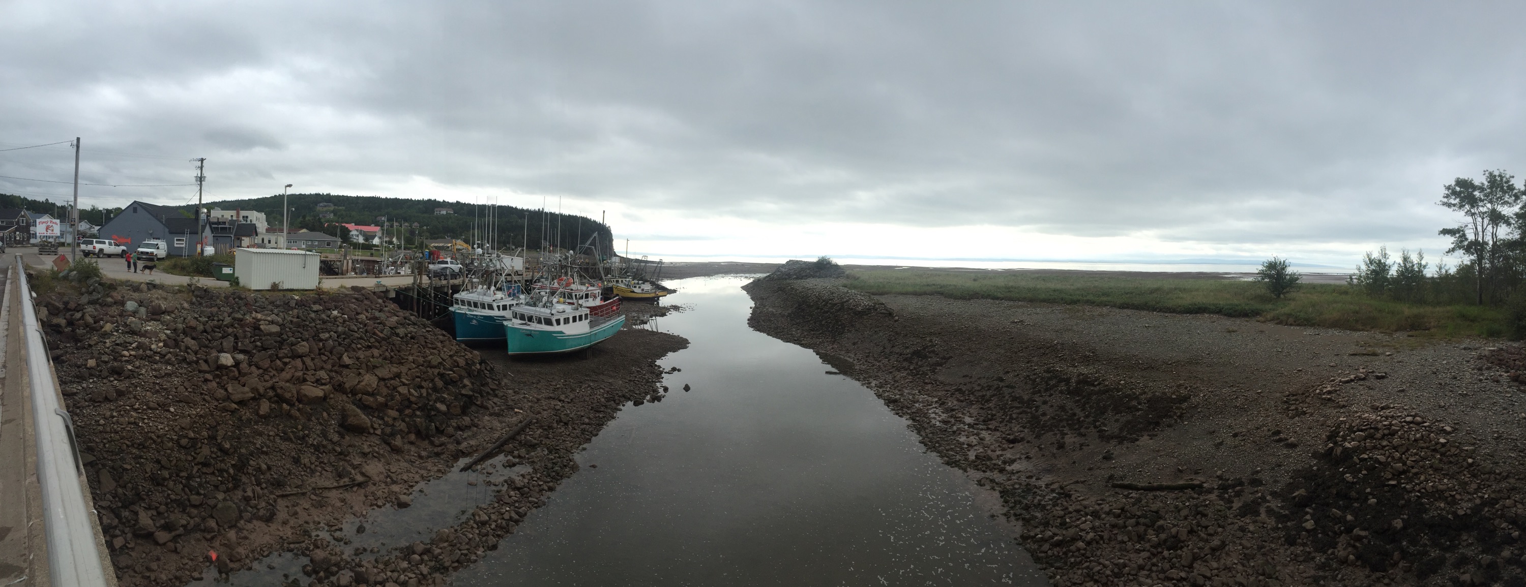
For today’s adventure we went to Wolfe Point in Fundy National Park, New Brunswick. This area is home to one of the most extreme tidal zones in the world, with tides reaching up to 51 feet. We began the day with a lecture from Dr. Erikson about the significance of the tidal zone at Fundy and the processes which formed the distinctive coast. After the lesson we jumped right into the field work. The goal was to measure a transect of the intertidal zone starting at the low tide line. Our basic process was to measure a distance of 30 meters and the change in elevation between the two points with a clinometer and a stadia rod. This seemingly straightforward exercise was complicated after lunch as the tide was rushing in. The huge tidal range leads to an extremely fast moving shoreline on this low angled beach!
This is when the great race of Fundy began. We had already done 360 m of the intertidal zone when we were caught by the rushing tide. It appeared to start slowly, but soon rushed in and some of us (Joe) were left stranded on mini islands, while others were stuck directly in the tidal action (Dr. Erikson and Emma) gathering data for our calculations. There was a point in time when the water was waist deep on Emma, and within a couple of minutes the water increased in depth to her shoulders. This is when we started to pick up our pace to get back to keep ahead of the tide. After picking up our pace and gathering all our data for our profile of Wolfe Point, we had measured up to 1 km of beach profile.
Overall the day was really fun, we did have many nerve wracking moments, especially with the rushing tide coming in on us but that did not dampen our resolve, in fact it was quite a rush. We learned a lot from this experience, especially about the coastal geomorphological systems that drive the tides and result in areas like Wolfe Point.
P.S. Ben lost the shovel, even though we didn’t use it
O Canada! On a foggy Sunday morning we again packed the van to head to Fundy National Park, in Alma, New Brunswick. We were just as foggy as the air, as we all went in and out of sleep the whole trip. A few rough roads and the climbing of steeps hills in an extremely heavy van jolted us awake every once in a while, but nothing could completely deter us from sleeping. After we smoothly crossed the border we quickly noticed some differences in our northern neighboring country. We passed multiple maximum speed 110 signs (km/h of course!), saw various things written in French and got to hold some plastic Canadian money that smells like maple syrup! We enjoyed a long dinner in a quiet St. John then kept trekking on towards Fundy. Our expected 6 hour drive had become an 8 hour trip. When we finally arrived at our destination past dark we got to see our home for a few days, a couple of “O Tentiks.” These small tent-like structures provide us with a warm shelter including beds and tables and are powered by small solar panels. After exploring our tents for a few minutes it was time to unpack. Once the van was unpacked we wound down the night while playing games (Liars’ Dice) by the light of a lantern and prepared ourselves for another early day of the ESS.
We will be in various parts of Atlantic Canada until August 30th learning about glacial geology, climate change, field methods and oceanography. Our first full day here was rainy and gloomy, but we got to catch a glimpse of the extreme tidal range of Fundy; up to 50 feet in some parts! We can’t imagine a better place to learn about these topics than here in beautiful Canada.
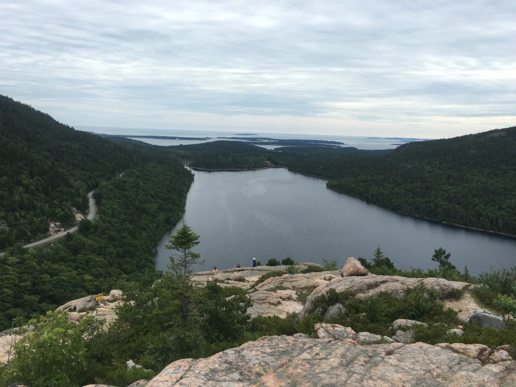
On Tuesday we went to Mount Desert Island (MDI) to look at erosional glacial features. At our first stop, we learned how to determine which way the glacier flowed through this area over a “roche moutonnee”. Then we headed to Somes Sounds which is the only fjord on the east coast of the US. We had lunch, enjoying the view gouged out by a two kilometer thick sheet of ice. Many tourists who also stopped would ask if we were in class or what we were doing because they noticed our SJC van. We would explain the ESS trip and many of them would respond, “Oh, this is a really cool hands on experience.” Next on our agenda was Jordan Pond (formed by a push moraine) which gave us a great view of The Bubbles, which we would soon hike to the top of.
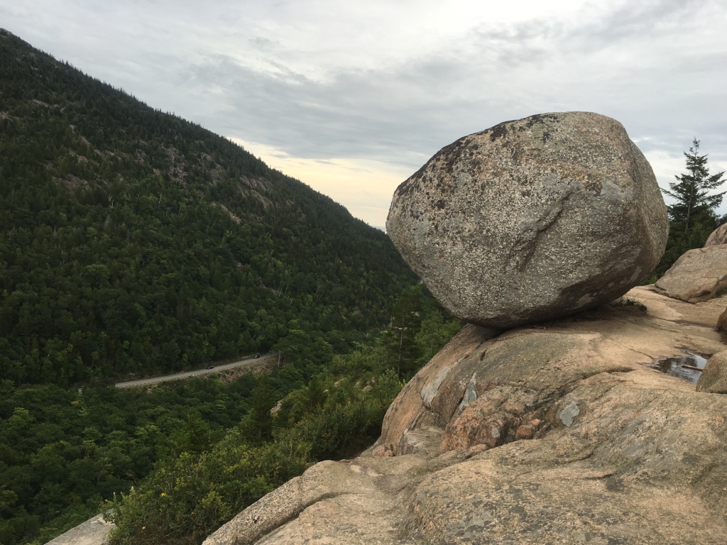
As you would expect, North Bubble and South Bubble have a bubble-like shape. We geared up for this small but slightly steep hike up about 700 feet on the South Bubble. Once we reached the top, the view was spectacular and Dr. Erikson said, “Take out your yellow notebooks! This is where we are going to have class today!” We had an exercise to draw a topographical map of the mountains and landscape around us. We could see Jordan Pond and the ocean in the far distance with mountains surrounding us on three sides. On our way down we had to conveniently stop at Bubble Rock. Bubble Rock is another touristy attraction on top of the South Bubble. It was placed high up on the edge of South Bubble by a glacier near the end of the most recent Ice Age (about 20,000 years ago). After everyone got pictures of Bubble Rock we headed down and decided to do a tourist thing and stop at Thunder Hole.
Thunder Hole is a natural rock inlet where waves will hit it and it will sound like thunder. When the waves are really large it could splash up to 40 feet with a roar of thunder. When we were there the waves were small causing no thunder noise. After anxiously waiting to hear thunder with no luck we headed out for a delicious dinner in Bar Harbor.
On Sunday August 14, all nine of us environmental and marine science majors met in Portland to embark on our ESS (Environmental Science Semester). We lined up our bags waiting for the van to arrive and everyone around was wondering how we were going to pull it off. We had a volume challenge of putting all of our luggage and seating eleven of us, in an eleven-seated van. It was an overcast morning and we encountered showers here and there but nothing could stop us now. Dr. Erikson was eager to get going and jumped right on the roof to fill the storage bins on the roof as we passed him our dry bags. We were able to fit everyone somewhat comfortably and all of our luggage in the van. We were then ready to leave and begin our four-hour journey.
Our first stop was Schoodic Peninsula up near Winter Harbor, Maine. Ben and Olive were our navigators and plotted a route to our destination. Good thing it wasn’t me because I had never gone that far north. I’d only made the usual trips from Saint Joe’s to and from New York, which is long enough. As we got closer to our destination the water views started popping through the trees and I was very exited. We arrived around 2:30 pm at the Schoodic Education and Research Institute (SERC) in Acadia National Park where we will be staying for the next week in a nice condo (way better than a dorm room). We got started right away using our compass to find dips, strikes, trends, and plunges. It felt weird thinking that summer had ended and school had started again.
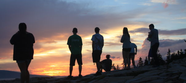
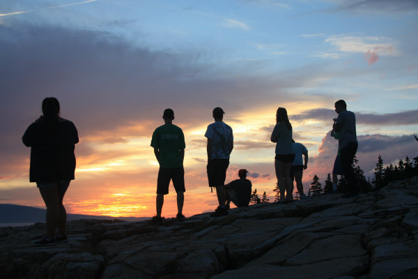
After our bite to eat at a local seafood restaurant (which was fantastic) we got to see why this place is so special. The local flora and fauna is protected by SERC, the national park and all of the locals here. We then proceeded to go see the sunset at Schoodic Point and that was a sight to see!
12 nights of mystery and 13 days on a schooner and we are finally on our way back, or at least in that general direction. The night before we knew it was going to be a long day with the goal to be as close to Peaks Island as possible by nightfall. But with the wind against us, we did not know it would be so difficult. At 7 a.m. the usual wake-up alarm goes off (Dr. Erikson), then it was time to pack bags and get ready to be on our way. A nice breakfast of cinnamon buns was made by Bobby on the Coleman stoves then came an unexpected visit by the captain, Alden, saying that he was concerned about timing and urged us to get on our way very soon. After packing our gear on the boat and getting ready to leave our island in Muscongus Bay, we headed out on a long journey on a sunny day. But what lay ahead was a bit more than we had anticipated.
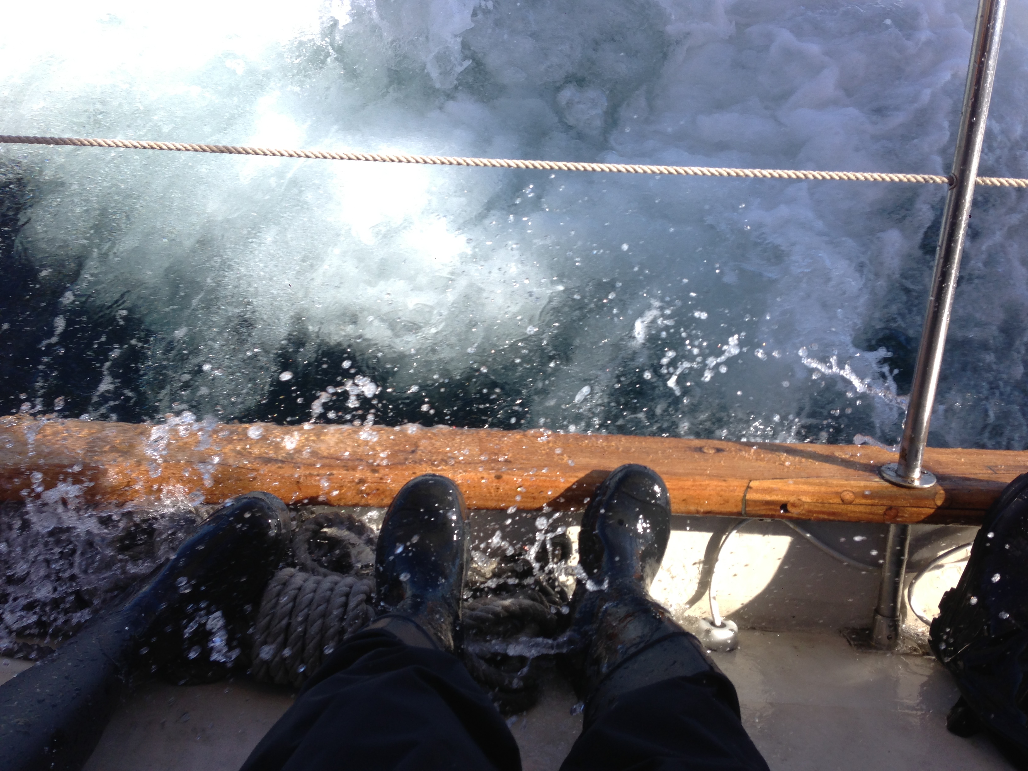
Passing by Monhegan Island, which we had visited the day before, we realized how rough the seas were. Also we learned very quickly that Dramamine, a sea sickness medication, is not very effective when taken once you are feeling sick. The boat was tilted (heeled, in nautical language) at what felt like nearly 90o but was only about 25-30o. That doesn’t mean that the waves weren’t crashing over the side of the boat any less. Often times the seas soaked those of us bracing ourselves with our feet on the edge of boat (gunwale). There was a nice moment as a school of Atlantic white-sided dolphins swam alongside and under us amongst the crashing waves.
Unfortunately we weren’t making very good time toward out destination, despite traveling at a respectable 6 knots, because the wind was coming from the southwest, which is exactly where we wanted to go. According to the GPS we were not going to be able to get to a spot to camp in Casco Bay until 9 p.m. or later.
With the weather only seeming to be less favorable as the day went on Dr. Erikson and Captain Alden made the call to head towards Boothbay Harbor. Despite the change in direction, the 4-6 foot swells weren’t any nicer; a few waves came crashing over the port side of the boat soaking many of us who had managed to stay dry up to that point. Even our dinghy sometimes disappeared because of the height of the waves. Around 7 p.m. we were finally able to dock in Boothbay where our fearless leaders took a minute to discuss plans as we waited on board. The decision was to unpack necessary gear for the next couple of days into Suzie (which we had left in Boothbay a few days ago). After a quick dinner Suzie took us back to Portland where we took the ferry to Dr. Erikson’s house for the night. Now we’re in the home stretch and it’s time to work on 2 large lab reports, a presentation and study for the final during the remaining 5 days of the ESS.
Sailing around the Gulf of Maine was not just for the joy of sailing, it was for sampling. Samples can provide insight on what is occurring in a water column. Our studies on the Bagheera were focused on how various chemicals and oceanographic factors could alter the water’s properties.
By using a YSI sonde (that is, a device with several probes on it that we lower into the water), we were able to compile how temperature, salinity, pH, chlorophyll, and dissolved oxygen differ with depth. The turbidity of the water was also recorded by using a Secchi disk. By the time we were done, we had ten sample sites from Casco Bay to Muscongus Bay.
What is causing this chemical characteristic to change with depth? What types of patterns are we seeing between sites? What outside factors, like seasonality and amount of land protection, could cause this level of chemicals/characteristics? These were just some of the questions that arose while recording data.
These types of questions and data can contribute to research questions on topics from climate change to the amount of detritus getting into Maine’s water systems. Tracing changes and comparing them to other sites can help map out Earth’s past and future.